Tag Archives: Road Trip

An Unexpectedly Scenic Drive

Scenery along Alt US-14 through the Bighorn Canyon National Recreation Area in North central Wyoming

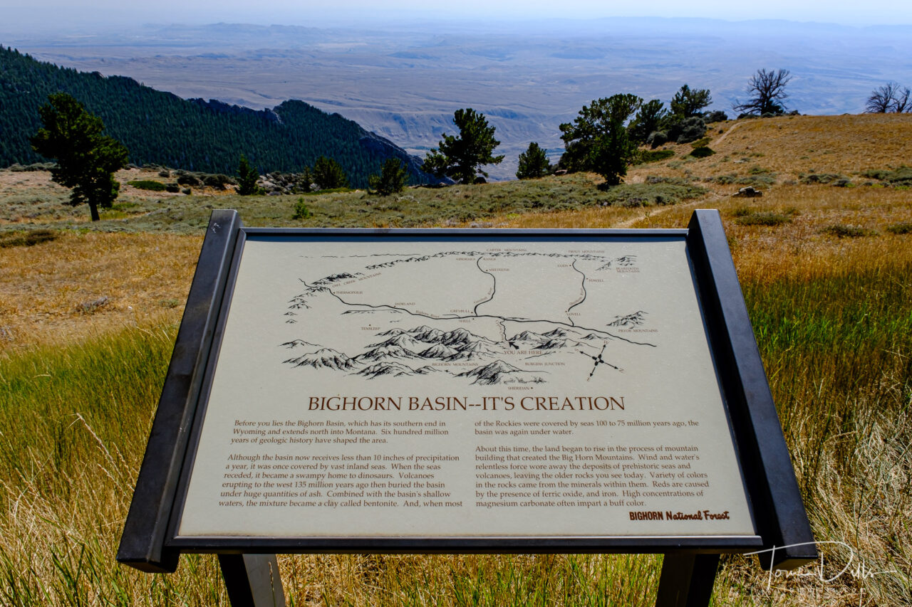
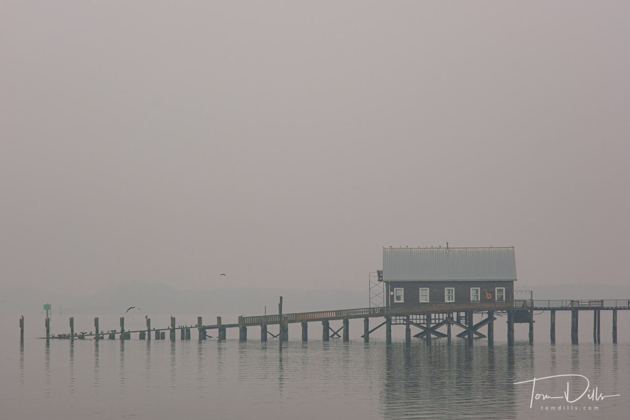
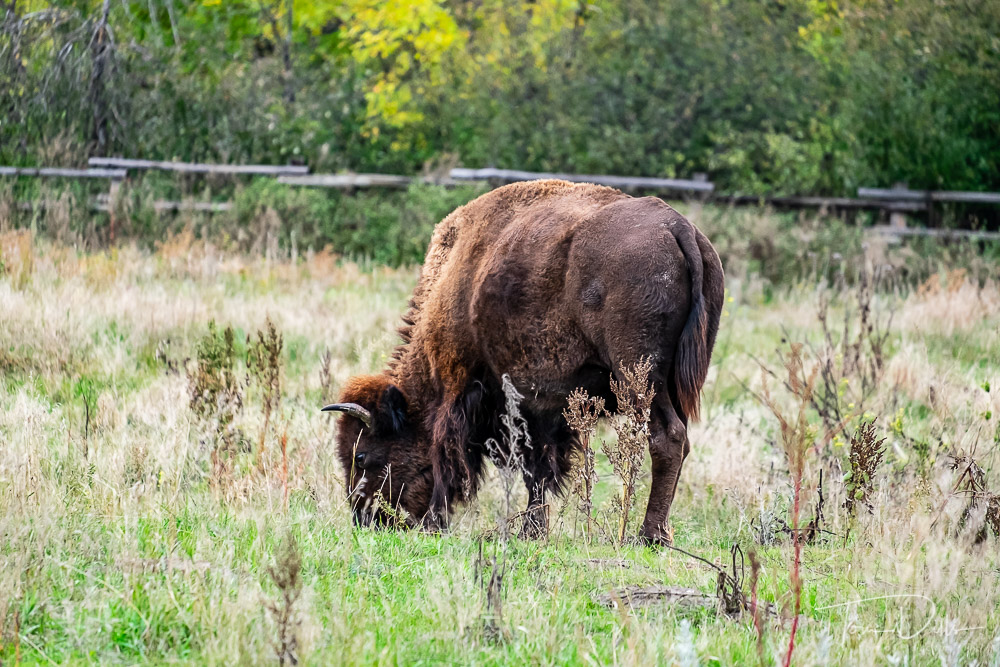
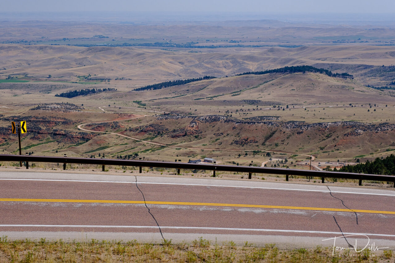
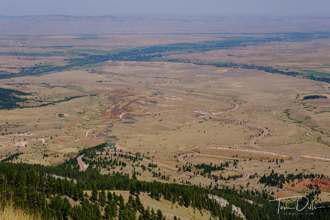
One of the things that maps don’t always tell us is what the terrain is like on a given road or in a given town.  We’ve been surprised by this numerous times when we get to a place and it is either hillier than we expected or not hilly at all.  One such place came up on our drive through Bighorn National Forest in Wyoming.

Scenery along Alt US-14 through the Bighorn Canyon National Recreation Area in North central Wyoming

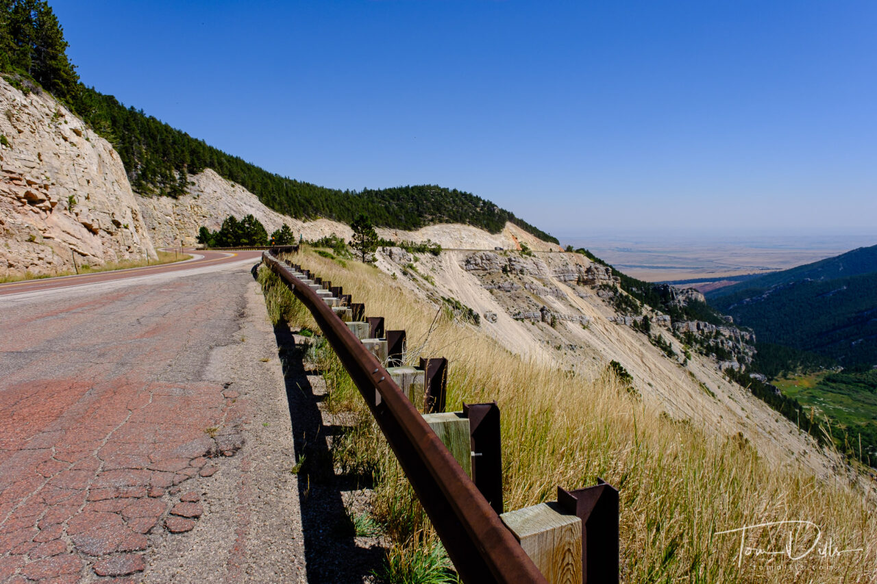
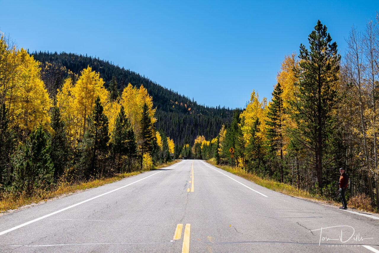
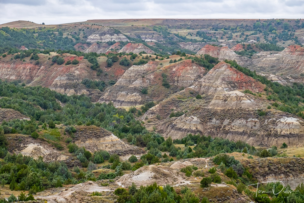
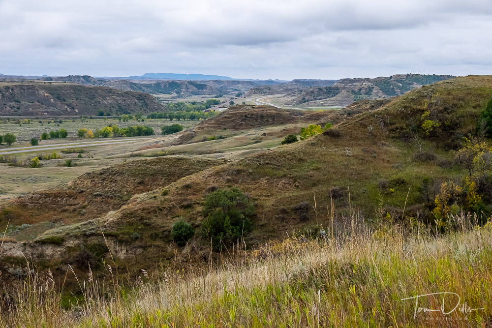
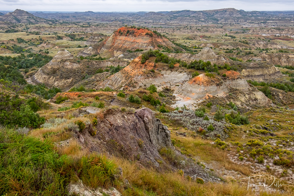
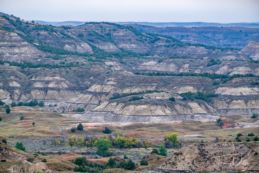
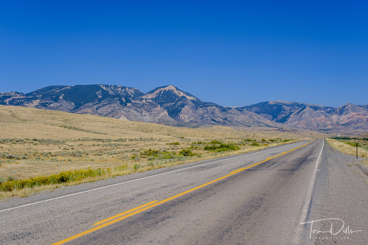
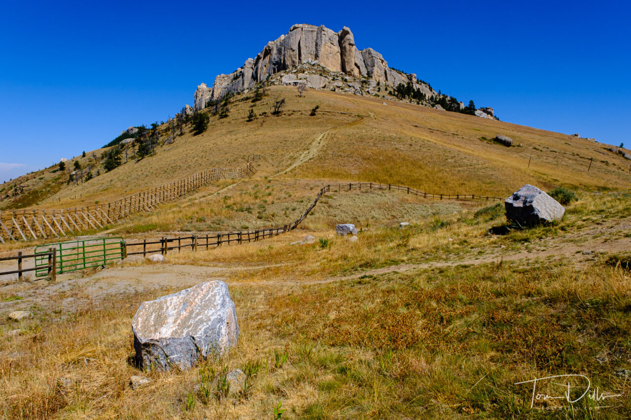
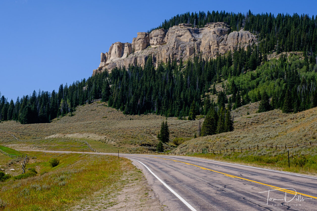
We had spent the night in Rapid City, SD and wanted to get to Billings, MT via Lowell, WY in order to see the southern section of the Bighorn Canyon National Recreation area, which stretches from Fort Smith in southern Montana, where the Yellowtail Dam is located, to Lowell, WY, the southern end of the reservoir.  That route took us on 60-ish miles of Alt-US 14 – known as the Bighorn Scenic Byway – through Bighorn National Forest, from near Sheridan, WY to Lowell.  And I have to say that it was one of the most stunning drives of any I have ever taken, including Trail Ridge Road in RMNP.  The terrain was rugged and beautiful, the road was wide and smooth, and the views were amazing.  In hindsight, that might have been a bigger highlight than Lowell, but at the time, who knew?

Scenery along Alt US-14 through the Bighorn Canyon National Recreation Area in North central Wyoming

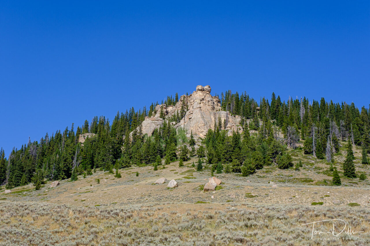
How rugged is the country in Bighorn National Forest?  The road is closed in the winter, as the elevation reaches 9,033 feet at Granite Pass.  That’s getting up there, as the highest point on our side of the Mississippi is a “mere” 6,684 feet (Mount Mitchell in NC).  By comparison, the elevation difference between the valley near Dayton, WY to Granite Pass is nearly that whole amount – almost 6,000 feet!

Scenery along Alt US-14 through the Bighorn Canyon National Recreation Area in North central Wyoming

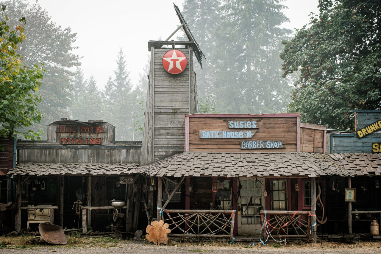
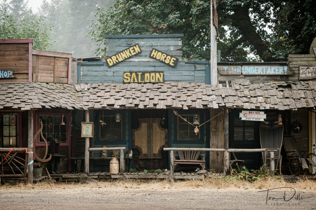
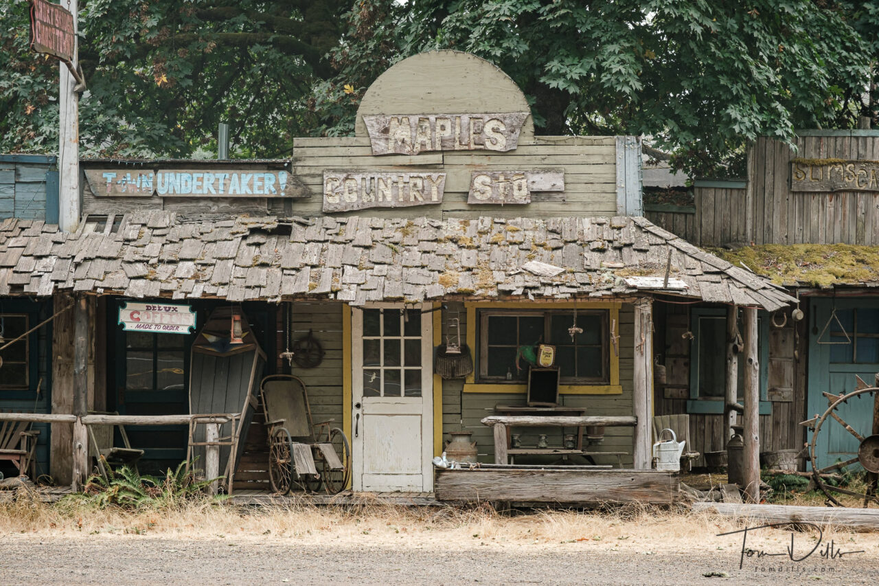
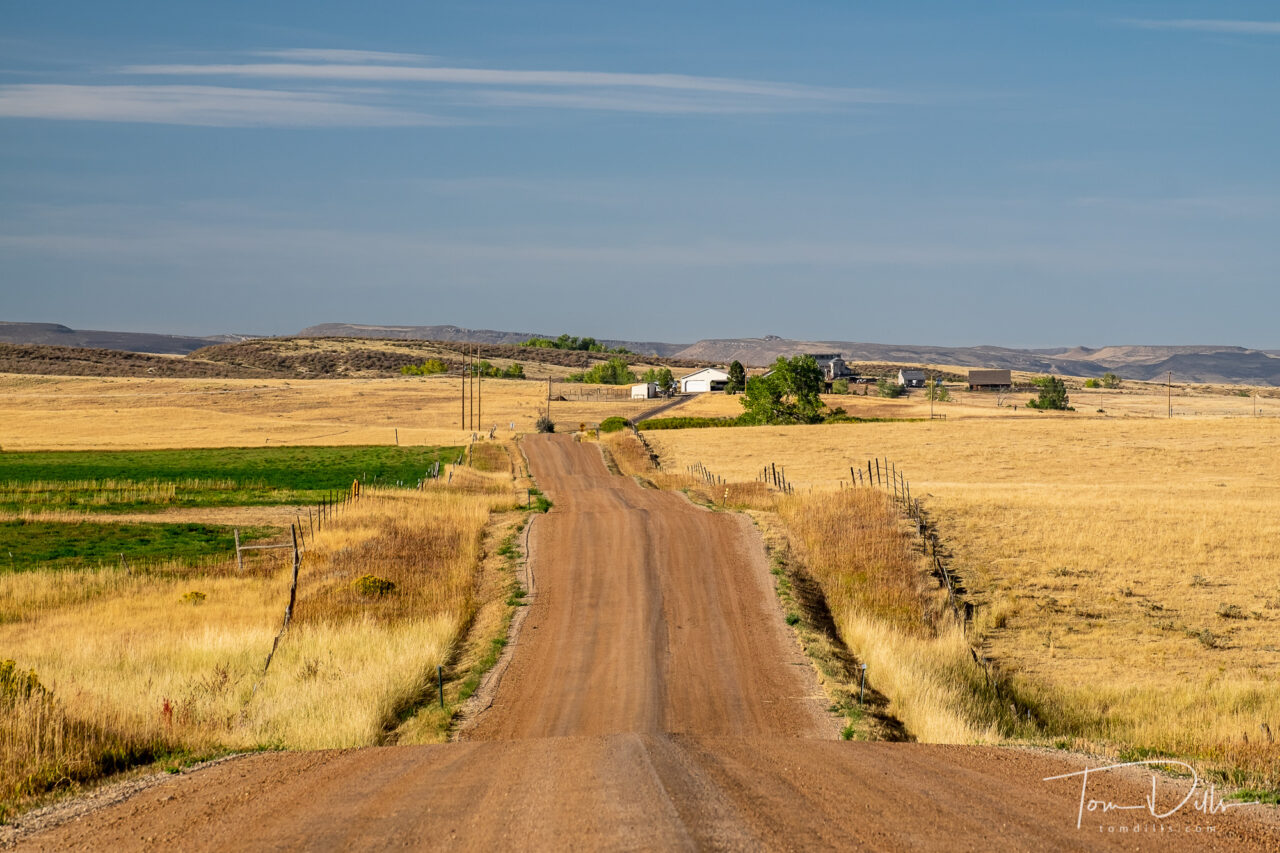
I hadn’t paid much attention to this area before, but now that we’ve been there I am anxious to get back.  There are a lot of interesting things to see and do in the area.  Perhaps a few days in Sheridan on our way to or from Yellowstone or Grand Teton, when we decide it’s time to visit that part of the country again.

Scenery along Alt US-14 through the Bighorn Canyon National Recreation Area in North central Wyoming


Roadside Finds: What The Heck?

Abandoned storefronts along US-20 near Foster, Oregon

Shortly after we stopped to take the photo of the sailboat in the previous post, we stopped at a roadside park to take a photo of a covered bridge.  The covered bridge paled in comparison to what was across the road!

Abandoned storefronts along US-20 near Foster, Oregon

I don’t even know what to call this.  It was definitely a facade of some kind, but I’m not sure what it was hiding – the Google satellite view is inconclusive, and we didn’t cross the road to investigate.  It was a little creepy, actually.  But made for some interesting photographs! 😉

Abandoned storefronts along US-20 near Foster, Oregon

Someone appears to have a lot of time on their hands and a very active imagination!

Abandoned storefronts along US-20 near Foster, Oregon

Smoke Gets In Your Eyes

Inn at Cannon Beach Hotel in Cannon Beach, Oregon – photo pretty close to how it looked

Smoke gets in a few other places too, yikes!

Before & after comparison of color corrected white balance and original, accurate color

Several folks have expressed concerns about our well being, and I thought it would be best to assure you that we are carrying on quite well, thank you very much.  I haven’t posted for a couple of days, but we’ve actually been quite busy.  I’ll catch up with some Postcards shortly but wanted to give this short update.

Port of Garibaldi and Garibaldi Marina in Garibaldi, Oregon

While we were in Cannon Beach, Oregon, the smoke moved in with quite a vengeance.  And it stayed with it throughout our visit to McMinnville in the Willamette Valley.  But other than keeping us from seeing a lot of the beautiful Oregonian scenery, it hasn’t slowed us down much.  Tonight (Sunday 9/13) we are in Bend, Oregon.  While still in the smoke a bit, we aren’t anywhere near the flames.  Rest assured that while we probably passed within 25-30 miles of some of the fires, there is really little danger here unless you are actually close to the fire.  The rest is mostly an aggravating, stinky fog, and pretty easy to fix with the right white balance setting in Lightroom! 😉

Port of Garibaldi and Garibaldi Marina in Garibaldi, Oregon

Monday 9/14 we head to Elko, Nevada where the forecast is for sunny skies, with perhaps a little sun but temperatures in the low 90s during the day.  We can put our long pants and sweaters away for a few days!

Port of Garibaldi and Garibaldi Marina in Garibaldi, Oregon

On The Road Again….

Fall colors along the Poudre Canyon Road through Arapaho & Roosevelt National Forest

Kathy & I departed this morning for what we expect to be an 8,000 +/- mile journey to the Oregon coast, visiting Kentucky, Missouri, Nebraska, South Dakota and Montana before making the big turn through Washington, Oregon, Idaho, Nevada and Utah before heading back through Colorado and home.  With any luck there will be a Monte sighting along the way. 😉

Rural countryside in Larimer County, Colorado north of Fort Collins

We’re doing a few things differently this trip than we’ve ever done before.  First, and the biggest departure for us, is that we have made zero hotel reservations beyond the first night.  I’ve always been an ‘anal’ planner, preferring to have all my I’s dotted and T’s crossed, weeks and sometimes months before we leave home.  We wanted to make this trip as flexible as possible, and figured that we shouldn’t have trouble finding a place to sleep as long as we keep the “requirements” to a minimum.

Roadside scenery US-281 near Lebanon, Kansas

The second departure – for me – is that this is the longest trip we’ve taken with the least amount of camera gear.  I have my X-T4 and my 3 zoom lenses – the sweet 16-80, the 55-200 and the 10-24.  And it is all in a shoulder bag!  I have always ended up with at least one backpack, sometimes two.  This time the backpack holds our computers and peripherals, but not camera gear.  Nice!

Wind generators off US 36 near SW Lakesite Road near Osborn, Missouri

So stay tuned for some “Postcards” from the road, plus some hopefully interesting photos – and stories – along the way!

Rural scenery in Indiana

You Either Have It Or You Don’t

Castillo San Felipe del Morro in San Juan, Puerto Rico

The travel bug, that is. 😉

Over this past weekend I was telling our oldest son Scott about our plans for an upcoming road trip.  He asked “why?”  Meanwhile, our youngest son Kevin is at the beach for two weeks.

Castillo San Felipe del Morro in San Juan, Puerto Rico

If you don’t experience or understand the desire to travel, you just don’t have the travel bug.  Scott is a homebody and father, and chooses to stay home.  Kevin is an avid traveler and cruise fan like me & Kathy.  Nobody is cruising these days, so Kevin followed our lead and went to the beach for a change of scenery.  In his job he has a bunch of vacation time that he needs to use by the end of the year, and the clock was ticking!

Castillo San Felipe del Morro in San Juan, Puerto Rico
San Juan, Puerto Rico

Our plans are to head to the Pacific Northwest shortly, although in addition to all the Covid stuff we are now looking at the spread of wildfires all over the west.  Fortunately our plans are very flexible, and once our Subie is loaded up with a full tank of gas we can go just about anywhere!

Castillo San Cristobal, part of the San Juan National Historic Site in San Juan, Puerto Rico

The travel bug doesn’t wait – the clock is still ticking and we have 18 states to go to get to 50.  With a little luck and a lot of driving we’ll pick up another 5.

San Juan, Puerto Rico

Hop on Hops

Hops plants growing in a field near Greenford, Ohio

The daughter and son-in-law of friends of ours in Columbiana, Ohio – in addition to being a occupational therapist and family physician, respectively – like to play around with farmer stuff.  They are currently growing hops in their front yard and have a bee hive in their back yard.  That’s way more ambition than I had, even when I was working!  I think they are hoping to brew beer from the hops, but I don’t know their plan for honey.  Maybe mead?  We’ll have to see.  We visited their place while they were off at work in order to check out the progress and to take a few photos.

Bee hive near Greenford, Ohio

Theodore Roosevelt National Park

View of The Painted Canyon at Theodore Roosevelt National Park, North Dakota

Our original plan was to stop at the visitor center at for a stamp in Kathy’s Passport book, take a few photos and move on.  But even though the weather was iffy when we got there, the scenery was so captivating that we decided to stick around until dark.  And we’re glad we did!

Theodore Roosevelt National Park, North Dakota
View of The Painted Canyon at Theodore Roosevelt National Park, North Dakota

The visitor center is situated at a rest stop along I-94 and is one of the few interstate rest areas where you can actually see bison.  We didn’t see any at the rest stop, but did see a lot of them in the park, both up close and from a distance.  The best way to see the park is to drive the loop road, which is what we ended up doing.

Theodore Roosevelt National Park, North Dakota

A portion of the loop road through the park was closed due to some aerial spraying being done, but the road was open enough to get some good views from within the park.  “Prairie Dog Town” was a lot of fun, with hundreds of the cute little critters popping their heads out of their holes to peek at us.  We got a little “up close and personal” to some bison that wandered through a parking area right behind our car.  I was very glad to be in the car and not out wandering around with my camera!

Bison at Theodore Roosevelt National Park, North Dakota

Our visit could have been longer had we gotten there earlier or if the weather had been better, but it was longer than we intended, and that is a testament to being open to change and flexible in our plans.  It was a worthwhile detour, for sure!

A Truly Enchanted Highway

“Geese In Flight” One in a series of metal sculptures along “The Enchanted Highway” between Gladstone and Regent, North Dakota

One of the “must visit” places on our recent trip through North Dakota was a place called The Enchanted Highway.  The Roadside America website gives this brief overview, and you can visit the link for more details:

“Thirty miles south of the nearest major highway, the town of Regent was dying, and Gary Greff decided someone had to do something about it.

A metal sculptor and retired school teacher, Gary started the work in 1990. His master plan was to create ten giant sculptures, one every few miles along Regency-Gladstone Road, paired with picnic areas and playground equipment. All the sculptures face north, toward the oncoming traffic from the interstate. Seven have been completed.

An additional sculpture towers along I-94, essentially an artistic billboard enticing travelers to exit and head south to Regent. Geese in Flight went up in 2001, next to the Gladstone exit — and it is claimed to be the World’s Largest Outdoor Sculpture.”

“Pheasants On The Prairie” One in a series of metal sculptures along “The Enchanted Highway” between Gladstone and Regent, North Dakota
“Tin Family” One in a series of metal sculptures along “The Enchanted Highway” between Gladstone and Regent, North Dakota

Our visit occurred on one of the nastiest (relatively in North Dakota terms!) of our trip.  We started off in the morning with rain and 35 degrees, went through 3-4 inches of snow at 31-32 degrees, then finally ended up in Rapid City where it had warmed to a welcome 40 degrees with light drizzle.  You can see the progression of rain to snow in the photos, as the snow increased as we went south on the route.

“Fisherman’s Dream” One in a series of metal sculptures along “The Enchanted Highway” between Gladstone and Regent, North Dakota
“Grasshoppers In The Field” One in a series of metal sculptures along “The Enchanted Highway” between Gladstone and Regent, North Dakota
“Teddy Rides Again” One in a series of metal sculptures along “The Enchanted Highway” between Gladstone and Regent, North Dakota

It’s easy to see the mud that we found at all of the pulloffs, so I made good use of my “car-pod” to make the photos, only getting out of the car where I could do so without tracking through the muck.

“Welcome to Regent” sign along “The Enchanted Highway” between Gladstone and Regent, North Dakota
“Whirly Gigs” One in a series of metal sculptures along “The Enchanted Highway” between Gladstone and Regent, North Dakota
The Enchanted Castle, a hotel in Regent, North Dakota at the southern end of “The Enchanted Highway”

These photos are a few of the highlights of our visit.  I’ve created a separate gallery on my Adobe Portfolio page for anyone who just needs to see more of The Enchanted Highway!

Series of metal sculptures along “The Enchanted Highway” between Gladstone and Regent, North Dakota

Where To Next?

Sunset over the bay in Chincoteague, Virginia

One of my favorite questions from friends and neighbors is “so, where are you off to next?”  One of our neighbors is certain that we’re trying to spend all of our retirement dollars on vacations, but since we like having a place to come home to, we only spend part of it! 😉  I guess we’ve developed a well-earned reputation, and one that we’re just a bit proud of. 🙂

In a few days Kathy & I will be setting out to bag a few more states on our path toward 50.  We’re looking forward to cooler temperatures and meeting up with some friends along the way.  I plan to send “Postcards” from the road as we go, although they likely won’t be daily.  Stay tuned!