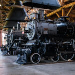
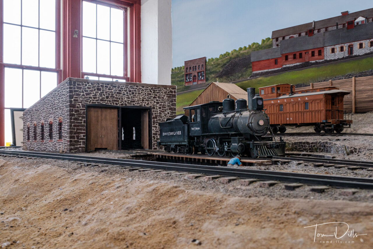
Age of Steam Roundhouse Museum near Sugarcreek, Ohio
Just about the time Kathy is certain she never has to see an other airplane, car or train museum, I find a new one.
Kathy & I recently returned from a trip to central Ohio over the Labor Day weekend, visiting family and friends there. While looking over things to do for that trip, I discovered the Age of Steam Roundhouse, a railroad museum located near the town of Sugarcreek.
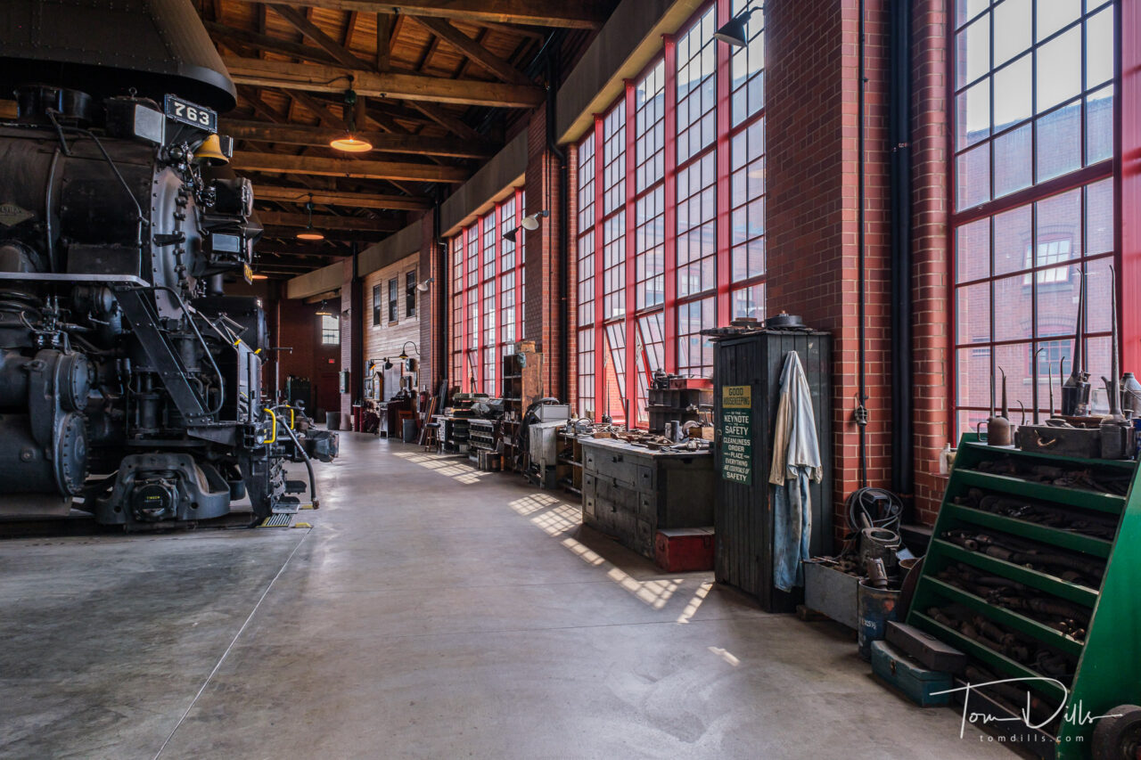
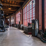
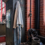
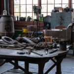
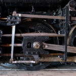
Workshop area at Age of Steam Roundhouse Museum near Sugarcreek, Ohio
The Age of Steam Roundhouse is actually much more than simply a railroad museum. The roundhouse was built with private funds by a man named Jerry Jacobson and his wife Laura. Jacobson retired in 2008 from the railroad industry, selling his entire 525-mile Ohio Central Railroad System (OCRS) freight railroad to Genesee & Wyoming, a short-line railway company headquartered in Rochester, NY.
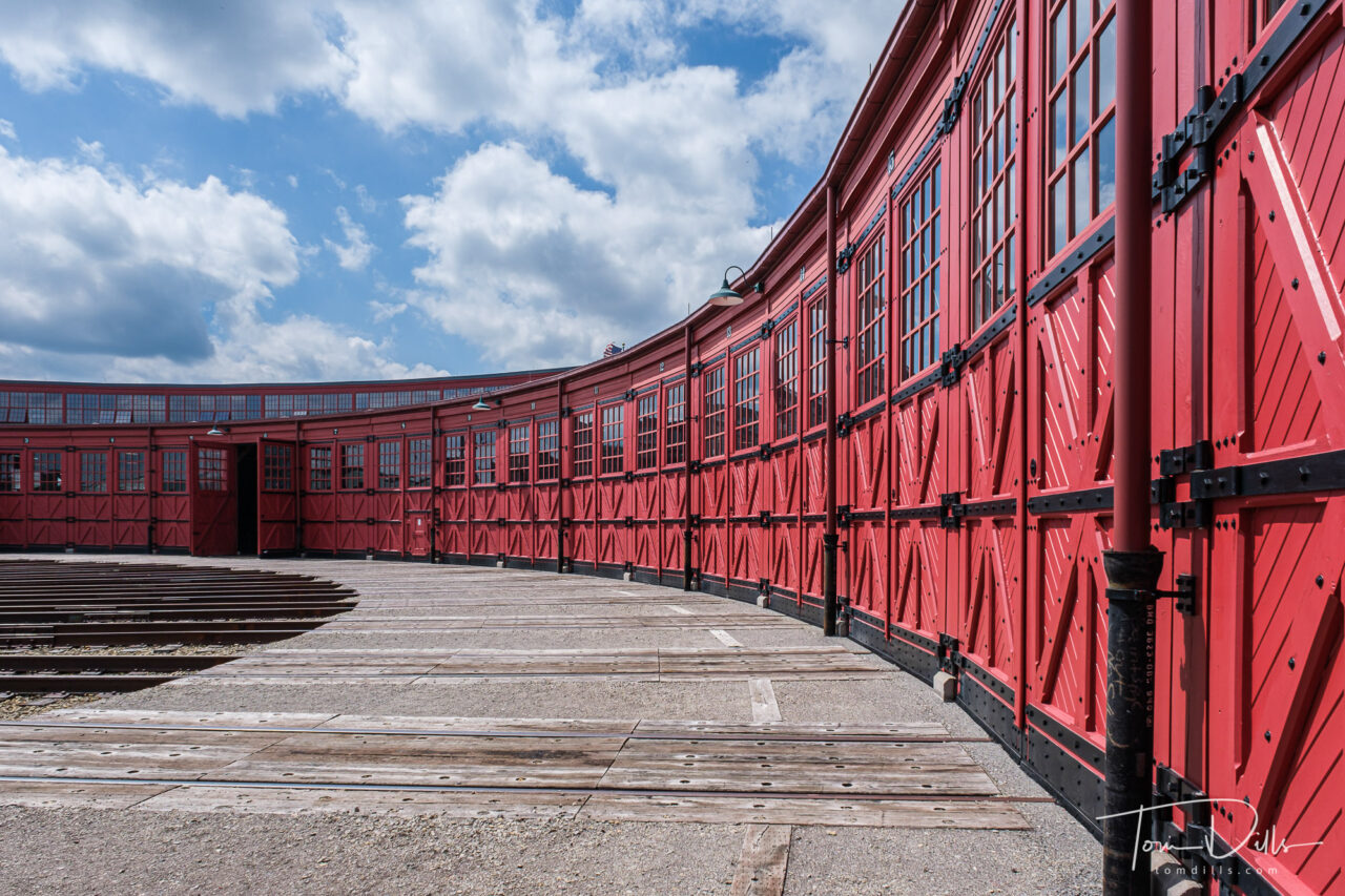
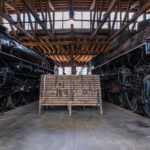
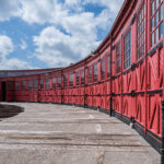
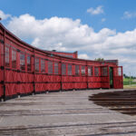
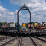
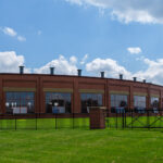
As well as being a regular revenue railroad, the Ohio Central had its own steam department that operated steam locomotives for tourist trains, excursions, and special events. When Jacobson sold OCRS in 2008, he maintained ownership of the antique equipment, including the collection of steam locomotives. Needing a place to safely house and restore his old-timers, Jacobson acquired 34 acres of land adjacent to the OC track and constructed his Age of Steam Roundhouse Museum. He built two miles of storage tracks, a depot, store house, coal loader, wood water tank, ash pit, back shop and, the jewel of the site, a working, 18-stall brick roundhouse that surrounds a 115-foot turntable. This was the first full-sized working roundhouse built in the U.S. since 1951.
Since Jacobson’s death in 2017, The Age of Steam Roundhouse Museum is currently operated by a non-profit organization and has three roles: maintaining its roster of 23 steamers, teaching future generations these fast-disappearing job skills, and bringing America’s railroad history alive.
Roundhouse exterior. Age of Steam Roundhouse Museum near Sugarcreek, Ohio
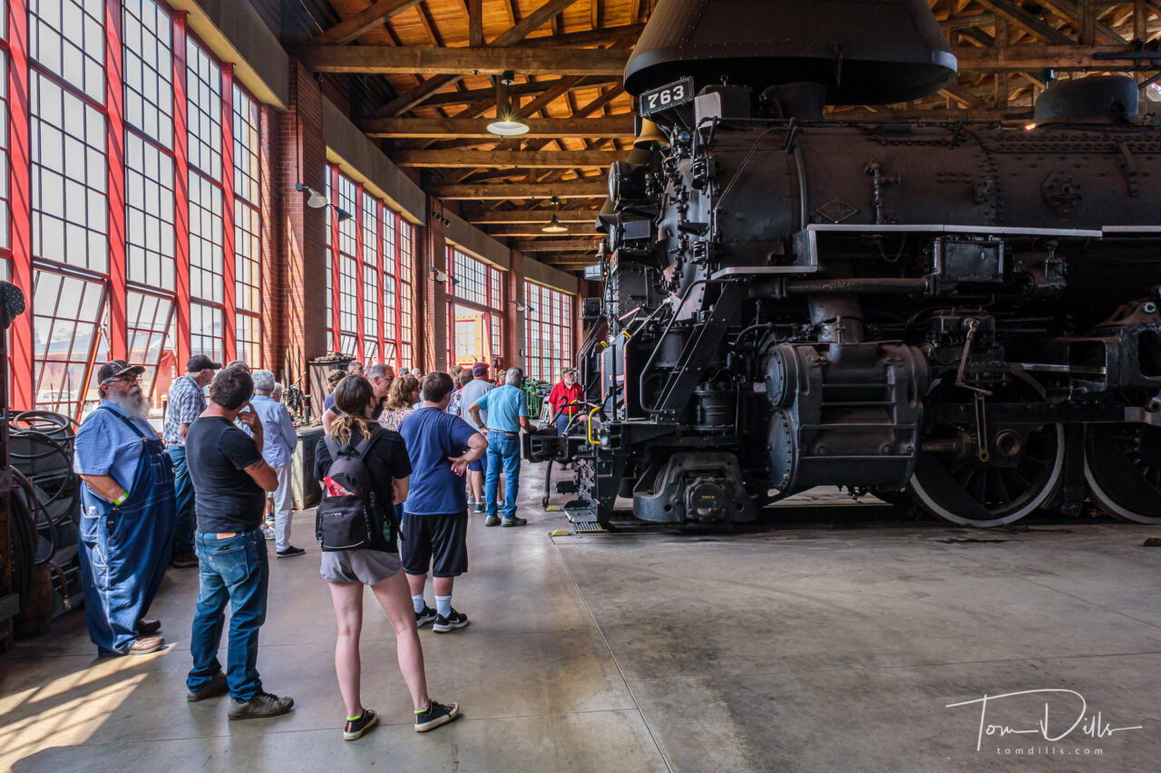
Kathy & I, along with my brother Bob and his wife Suzie, booked a tour of the Roundhouse one afternoon, and these are (more than) a few of my photos from this fascinating visit. I just couldn’t narrow them down further and still tell the story!
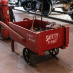
Age of Steam Roundhouse Museum near Sugarcreek, Ohio
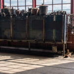
Workshop area at Age of Steam Roundhouse Museum near Sugarcreek, Ohio
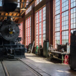
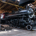
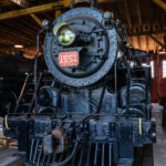
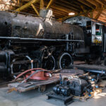
Locomotive on display at Age of Steam Roundhouse Museum near Sugarcreek, Ohio
Locomotive on display at Age of Steam Roundhouse Museum near Sugarcreek, Ohio
Locomotive on display at Age of Steam Roundhouse Museum near Sugarcreek, Ohio
Locomotive on display at Age of Steam Roundhouse Museum near Sugarcreek, Ohio
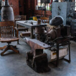
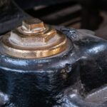
Workshop area at Age of Steam Roundhouse Museum near Sugarcreek, Ohio
Workshop area at Age of Steam Roundhouse Museum near Sugarcreek, Ohio
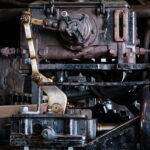
Workshop area at Age of Steam Roundhouse Museum near Sugarcreek, Ohio
Workshop area at Age of Steam Roundhouse Museum near Sugarcreek, Ohio
Workshop area at Age of Steam Roundhouse Museum near Sugarcreek, Ohio
Workshop area at Age of Steam Roundhouse Museum near Sugarcreek, Ohio
Workshop area at Age of Steam Roundhouse Museum near Sugarcreek, Ohio
Workshop area at Age of Steam Roundhouse Museum near Sugarcreek, Ohio
Workshop area at Age of Steam Roundhouse Museum near Sugarcreek, Ohio
Workshop area at Age of Steam Roundhouse Museum near Sugarcreek, Ohio
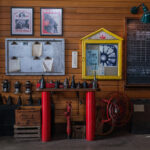
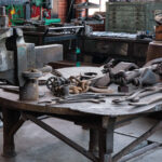
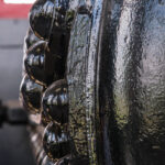
Machine shop at Age of Steam Roundhouse Museum near Sugarcreek, Ohio
Locomotive undergoing restoration with marking designating areas for metal testing. Age of Steam Roundhouse Museum near Sugarcreek, Ohio
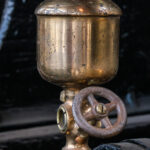
Tool detail. Age of Steam Roundhouse Museum near Sugarcreek, Ohio
Tool detail. Age of Steam Roundhouse Museum near Sugarcreek, Ohio
Tool detail. Age of Steam Roundhouse Museum near Sugarcreek, Ohio
Tool detail. Age of Steam Roundhouse Museum near Sugarcreek, Ohio
Tool detail. Age of Steam Roundhouse Museum near Sugarcreek, Ohio
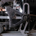
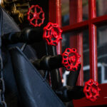
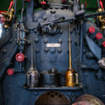
Train detail. Age of Steam Roundhouse Museum near Sugarcreek, Ohio
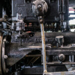
Train detail. Age of Steam Roundhouse Museum near Sugarcreek, Ohio
Train detail. Age of Steam Roundhouse Museum near Sugarcreek, Ohio
Train detail. Age of Steam Roundhouse Museum near Sugarcreek, Ohio
Train detail. Age of Steam Roundhouse Museum near Sugarcreek, Ohio
Train detail. Age of Steam Roundhouse Museum near Sugarcreek, Ohio
Train detail. Age of Steam Roundhouse Museum near Sugarcreek, Ohio
Train detail. Age of Steam Roundhouse Museum near Sugarcreek, Ohio
Train detail. Age of Steam Roundhouse Museum near Sugarcreek, Ohio
Train detail. Age of Steam Roundhouse Museum near Sugarcreek, Ohio
Train detail. Age of Steam Roundhouse Museum near Sugarcreek, Ohio
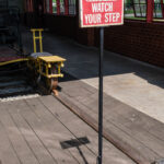
Watch Your Step. Age of Steam Roundhouse Museum near Sugarcreek, Ohio
Roundhouse exterior. Age of Steam Roundhouse Museum near Sugarcreek, Ohio
Roundhouse exterior. Age of Steam Roundhouse Museum near Sugarcreek, Ohio
Roundhouse turntable. Age of Steam Roundhouse Museum near Sugarcreek, Ohio
Age of Steam Roundhouse Museum near Sugarcreek, Ohio
Sign at Age of Steam Roundhouse Museum near Sugarcreek, Ohio
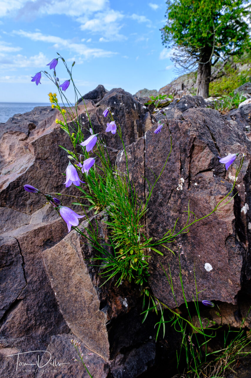
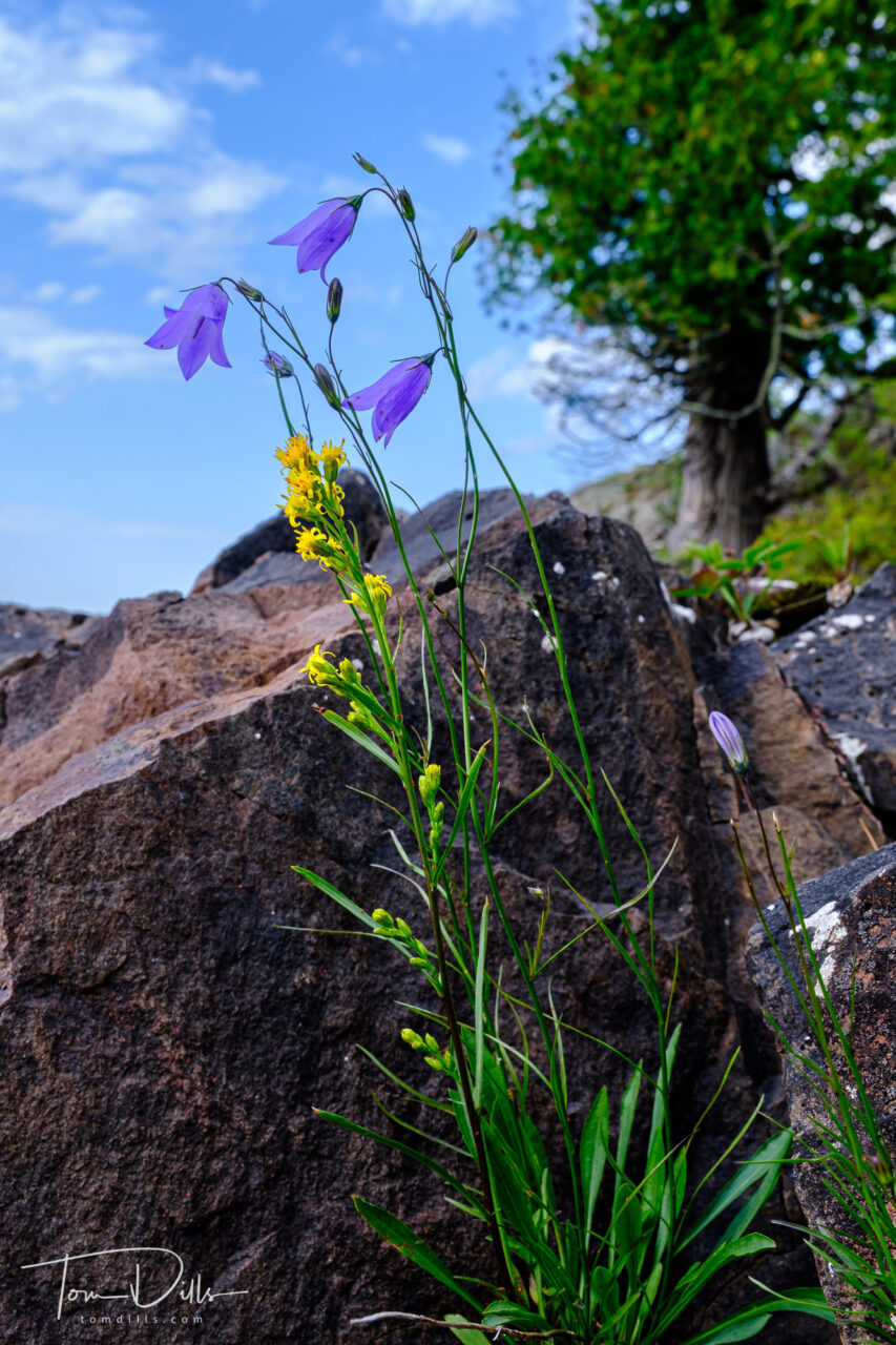
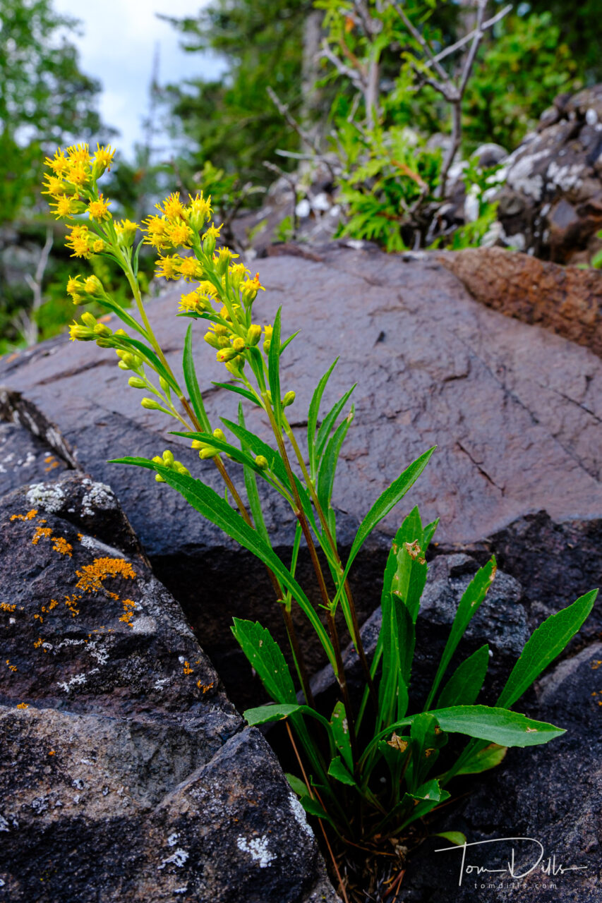
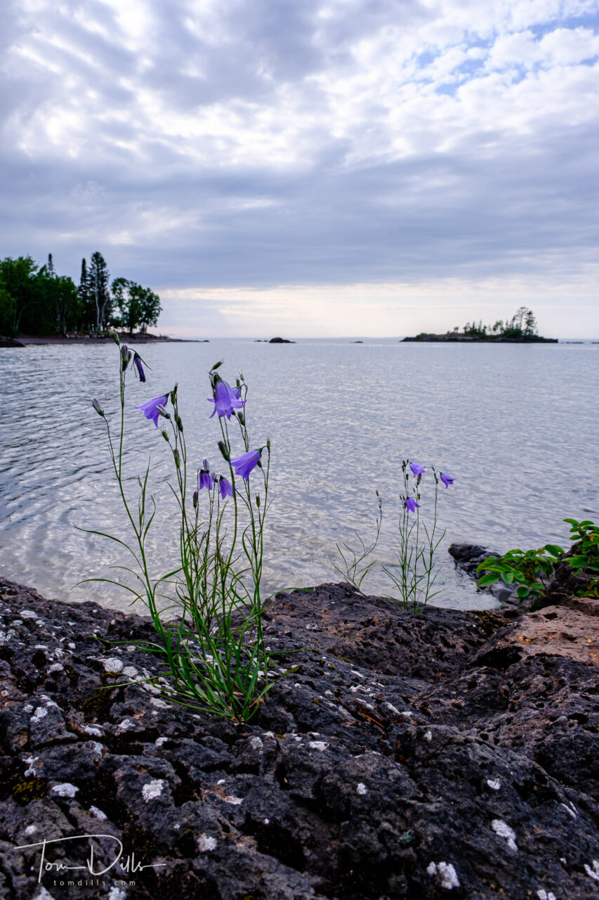
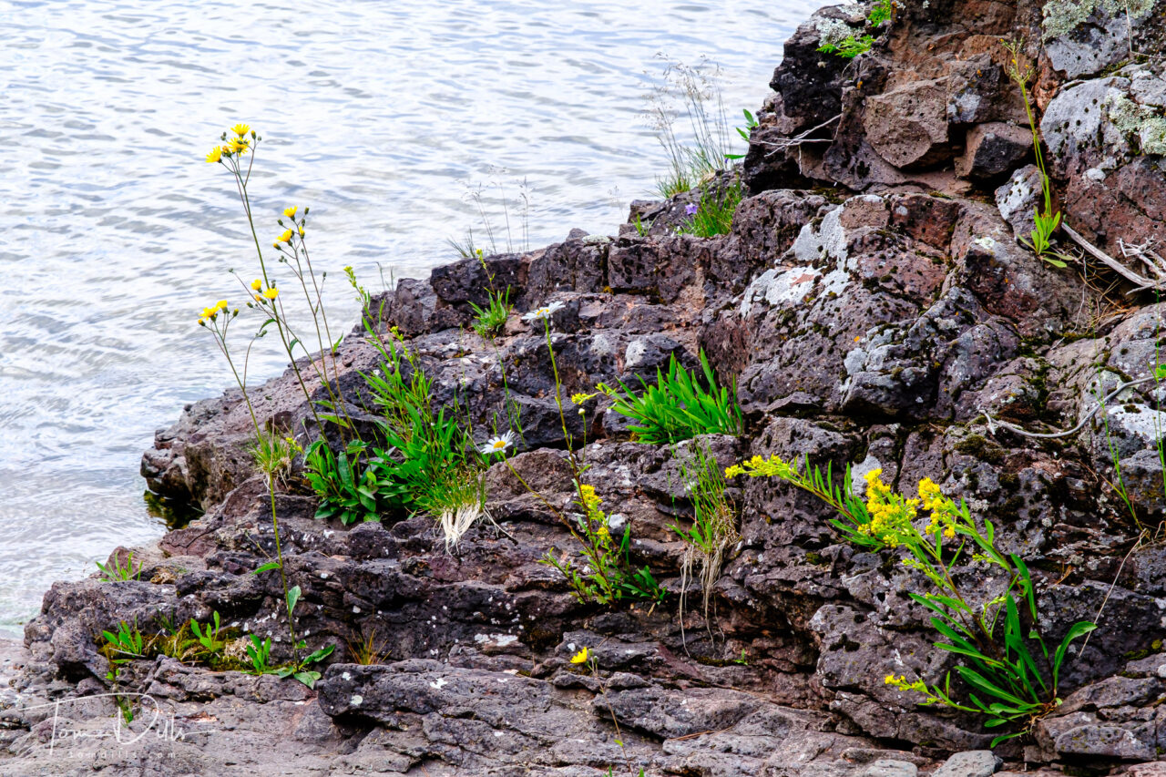
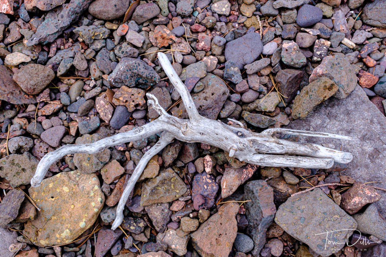
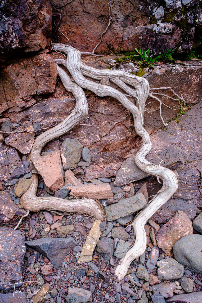
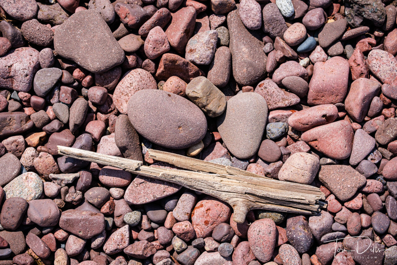
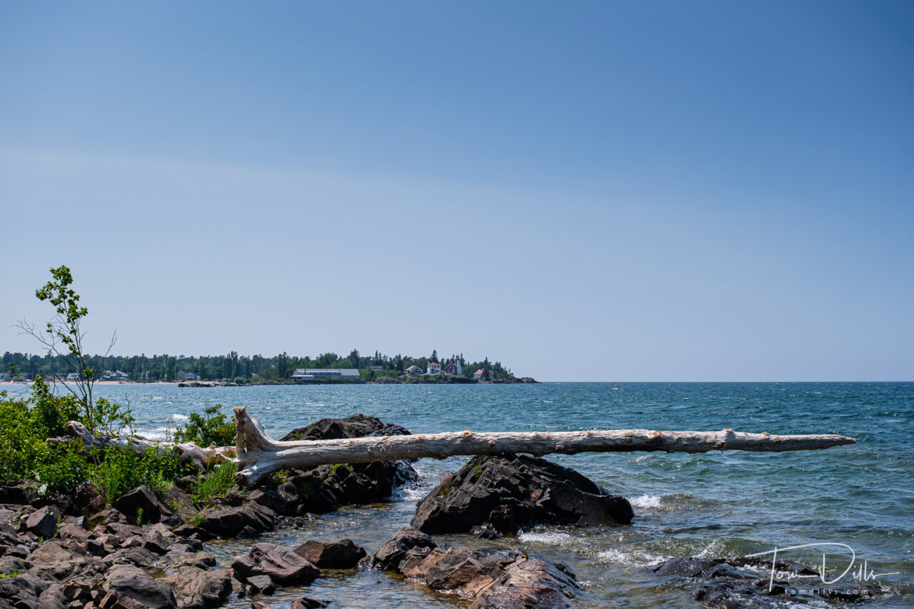
Shoreline of Lake Superior from near Eagle Harbor, Michigan
Just like I occasionally need reminded to take HDR and Panorama photos, I often forget to take pictures from something other than eye, or tripod, level. On our recent visit to the Keweenaw Peninsula of Michigan I managed to take a few photographs from a different perspective. Having an articulating screen helps!
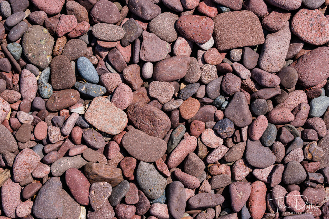
Shoreline of Lake Superior from near Eagle Harbor, MichiganShoreline of Lake Superior from near Eagle Harbor, MichiganShoreline of Lake Superior from near Eagle Harbor, MichiganShoreline of Lake Superior from near Eagle Harbor, MichiganShoreline of Lake Superior from near Eagle Harbor, MichiganShoreline of Lake Superior from near Eagle Harbor, MichiganRocks on the Lake Superior shoreline in Eagle Harbor, MichiganRocks on the Lake Superior shoreline in Eagle Harbor, MichiganEagle Harbor Township Recreation Area in Eagle Harbor, MichiganEagle Harbor Township Recreation Area in Eagle Harbor, MichiganLake Superior shoreline in Eagle Harbor, Michigan
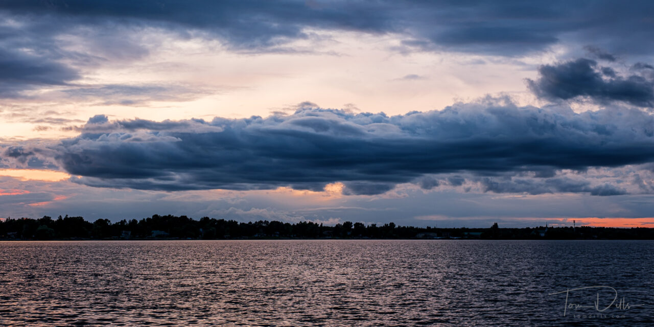
Sunset over Sand Bay from a pier in Ranier, Minnesota
We just returned from another little jaunt, so I am now two trips behind in my posting. Here is a random sunset photo from our Minnesota visit. The sunset itself was nothing special but this cloud was pretty awesome.
In case you don’t wish to wait, I have published a gallery of photos from that trip on my Adobe Portfolio site.
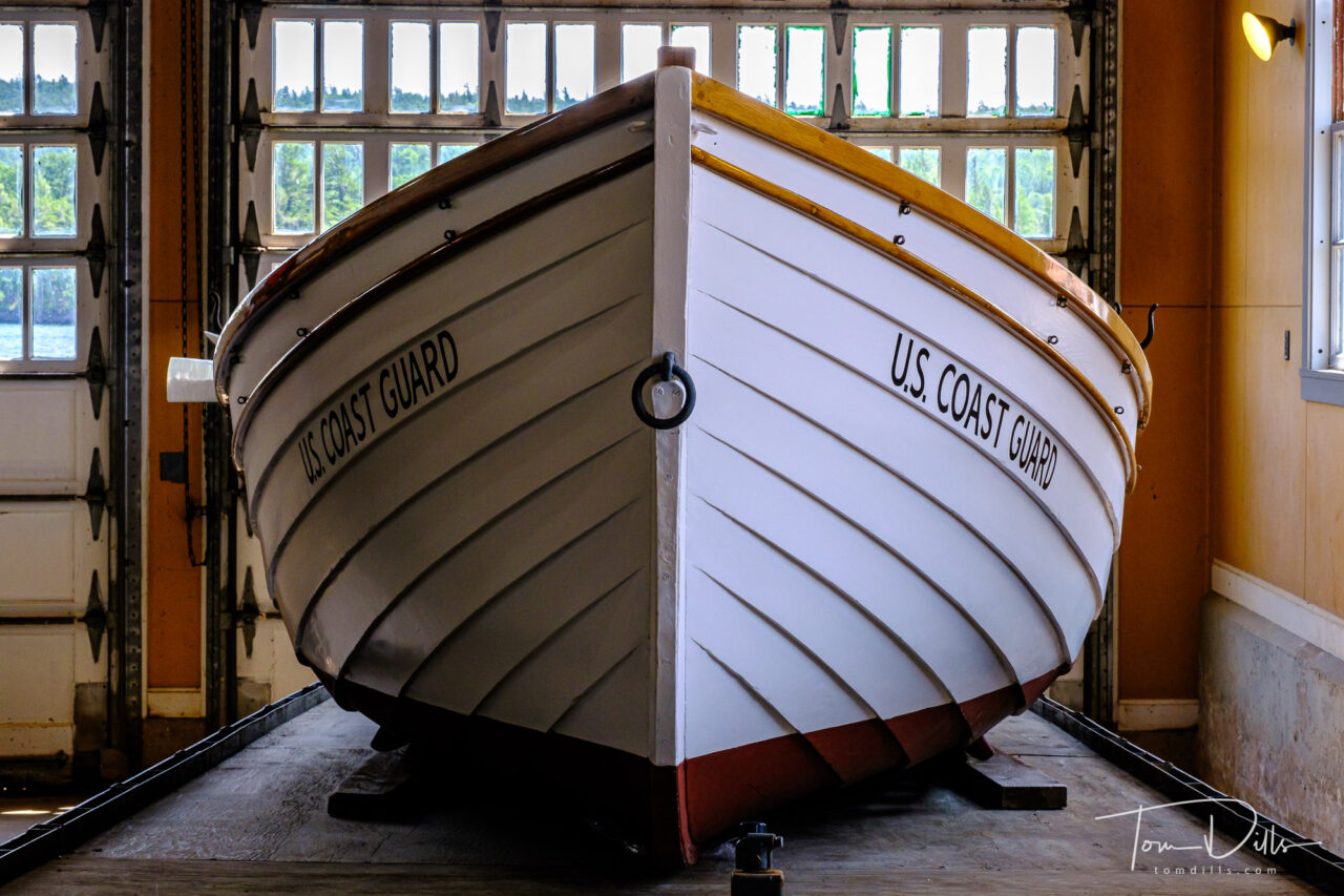
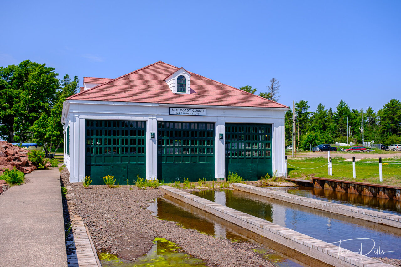
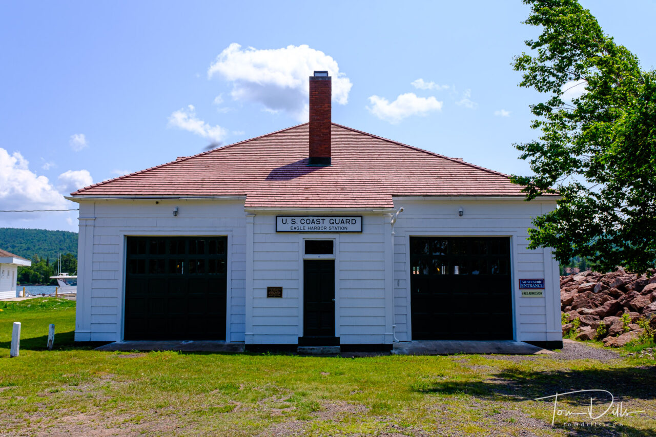
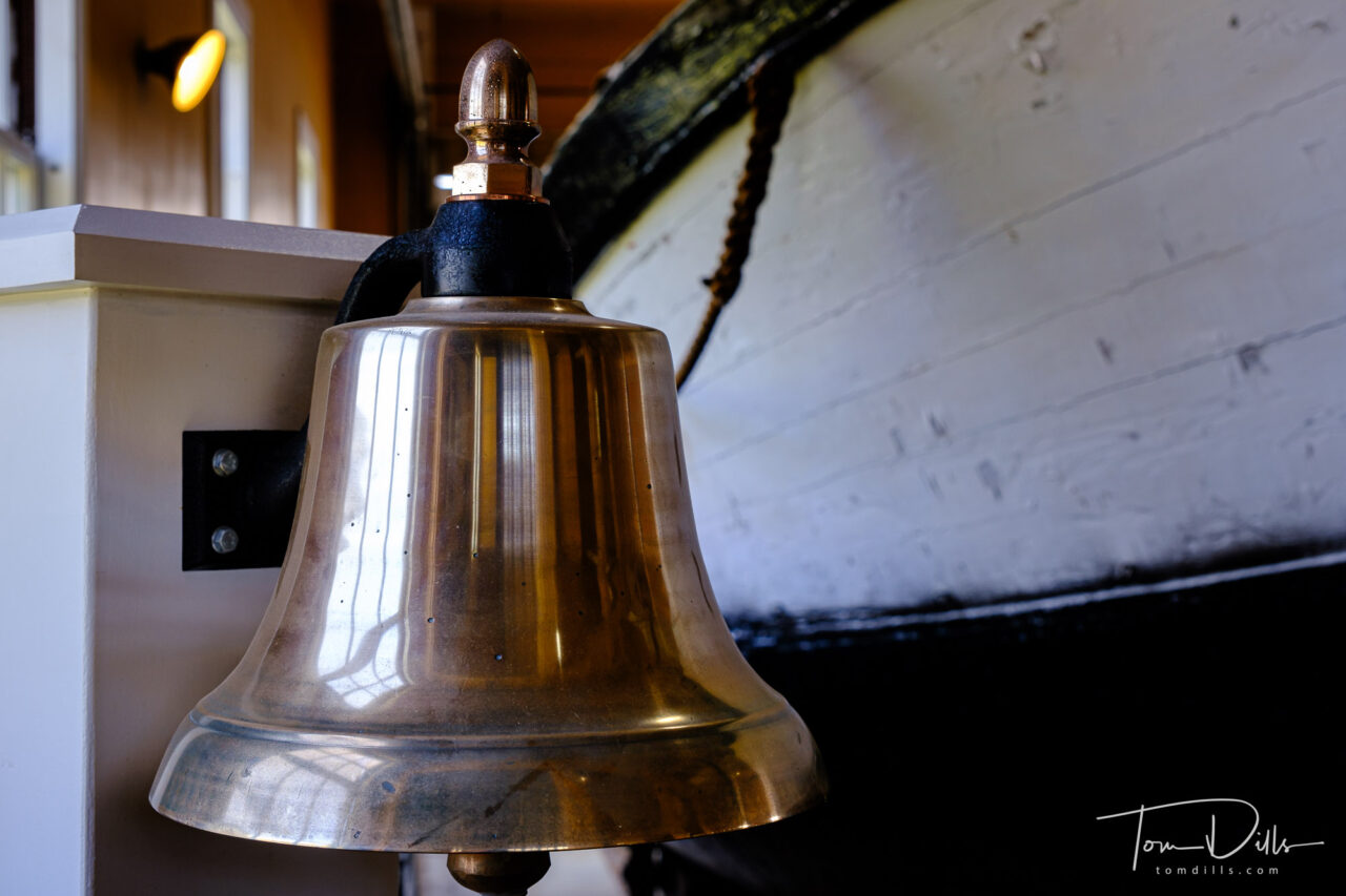
US Coast Guard Lifesaving Station, now a museum, in Eagle Harbor, Michigan
When in Eagle Harbor, MI we visited this former Coast Guard Lifesaving Station that is now a museum of maritime history. Interesting place with some nicely restored boats and restored building.
US Coast Guard Lifesaving Station, now a museum, in Eagle Harbor, MichiganUS Coast Guard Lifesaving Station, now a museum, in Eagle Harbor, MichiganUS Coast Guard Lifesaving Station, now a museum, in Eagle Harbor, MichiganUS Coast Guard Lifesaving Station, now a museum, in Eagle Harbor, Michigan
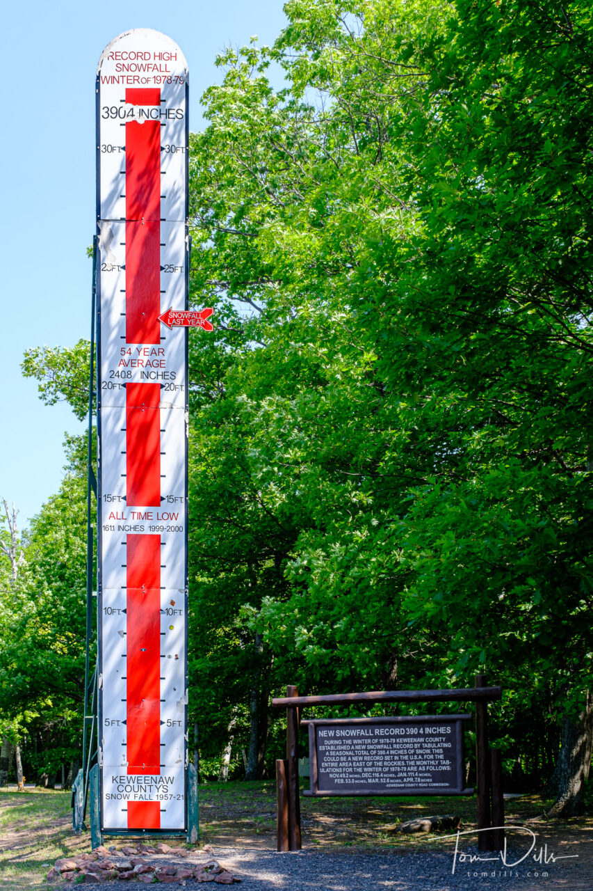
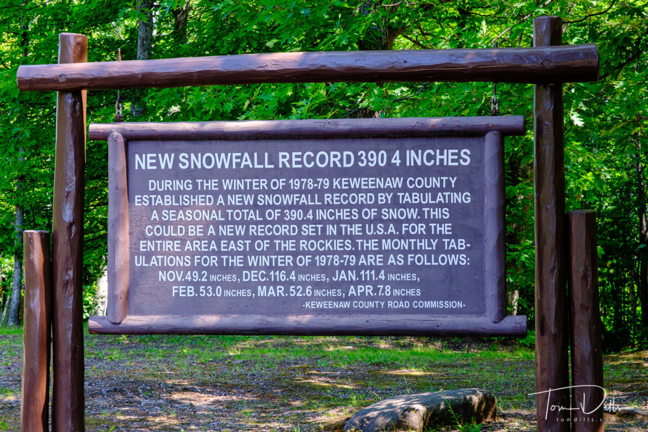
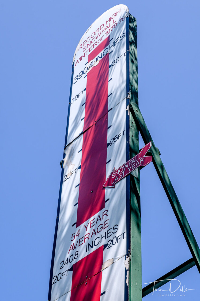
The Keweenaw Snow Thermometer in Eagle River, Michigan
We visited the Keweenaw Peninsula on our recent swing through the U.P. of Michigan, and came across this “snow gauge” commemorating the record snowfall of 390 inches during the winter of 1978-1979, and also reminding us that the most recent winter saw snowfall of “only” about 270 inches. Of course that is cumulative total over the course of the winter, which runs roughly from September to May ( ), not what was on the ground at one time. But still….
The Keweenaw Snow Thermometer in Eagle River, MichiganThe Keweenaw Snow Thermometer in Eagle River, Michigan
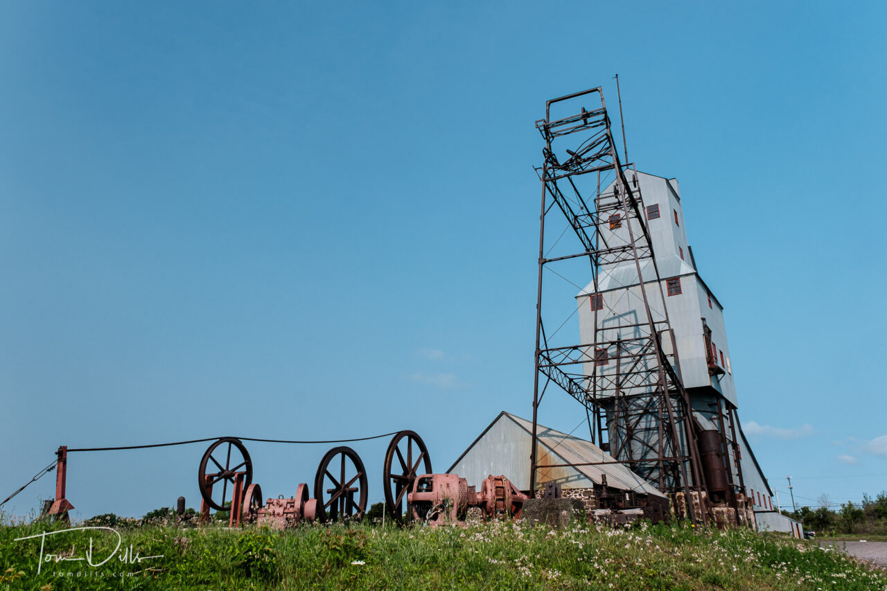
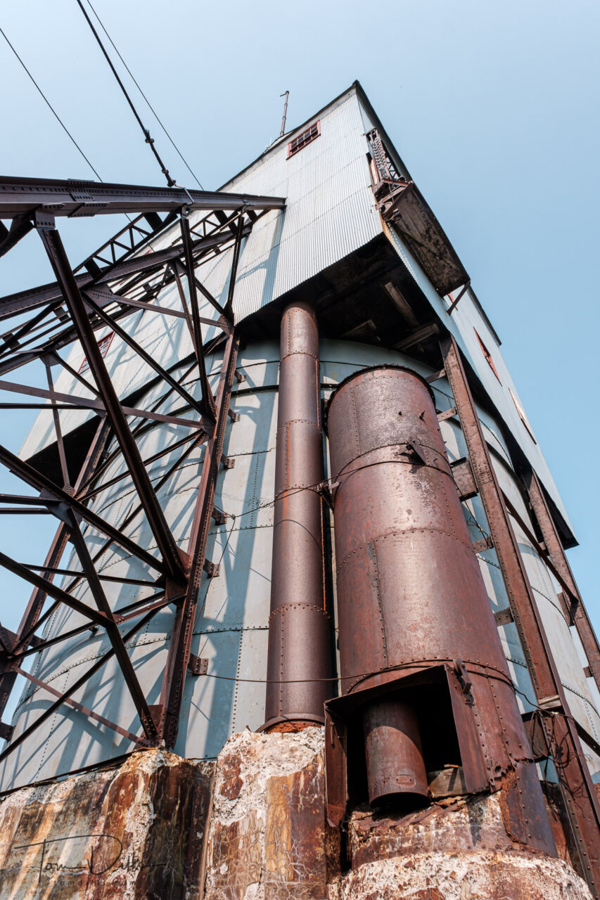
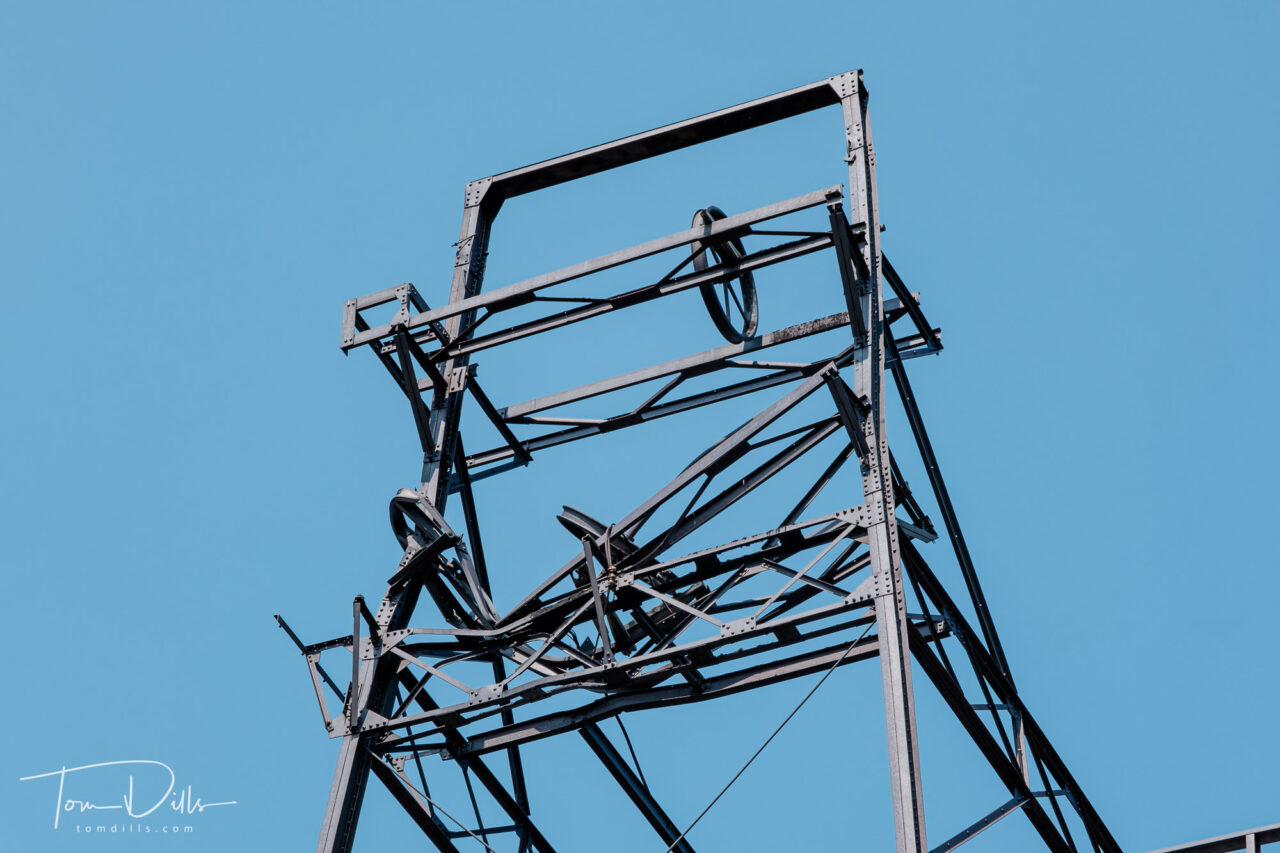
No. 2 Shaft-Rock House at The Quincy Mine, part of the Keweenaw National Historical Park in Houghton, Michigan
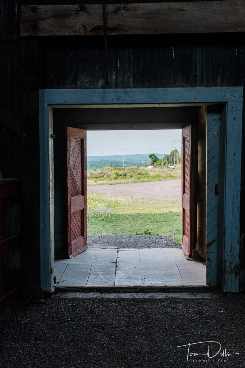
Copper mining plays an integral role in the history of the Keweenaw Peninsula, and there are remains of these mines scattered throughout the land. A few of them have been partially preserved for tourism, including the Quincy Mine, part of Keweenaw National Historical Park near Houghton.
No. 2 Shaft-Rock House at The Quincy Mine, part of the Keweenaw National Historical Park in Houghton, MichiganNo. 2 Shaft-Rock House at The Quincy Mine, part of the Keweenaw National Historical Park in Houghton, MichiganNo. 2 Shaft-Rock House at The Quincy Mine, part of the Keweenaw National Historical Park in Houghton, Michigan
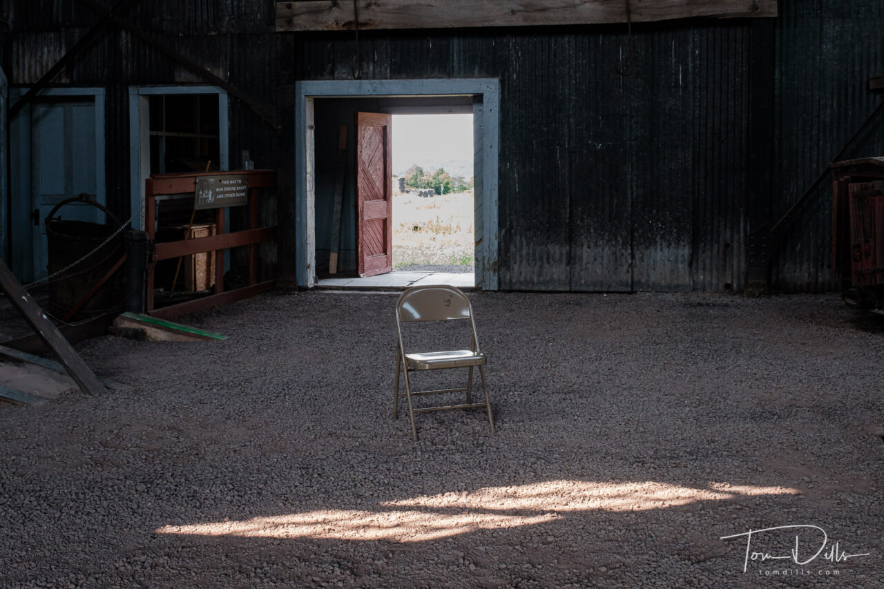
Kathy & I spent a few hours visiting the park and touring the buildings that are open to the public. They offer a tour into one of the mines using one of the former mining cars, but I’m a little squeamish about underground and enclosed spaces so we decided to pass. Perhaps another time, he says….
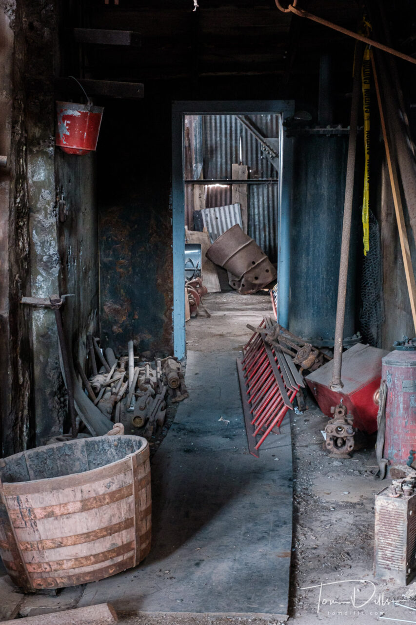
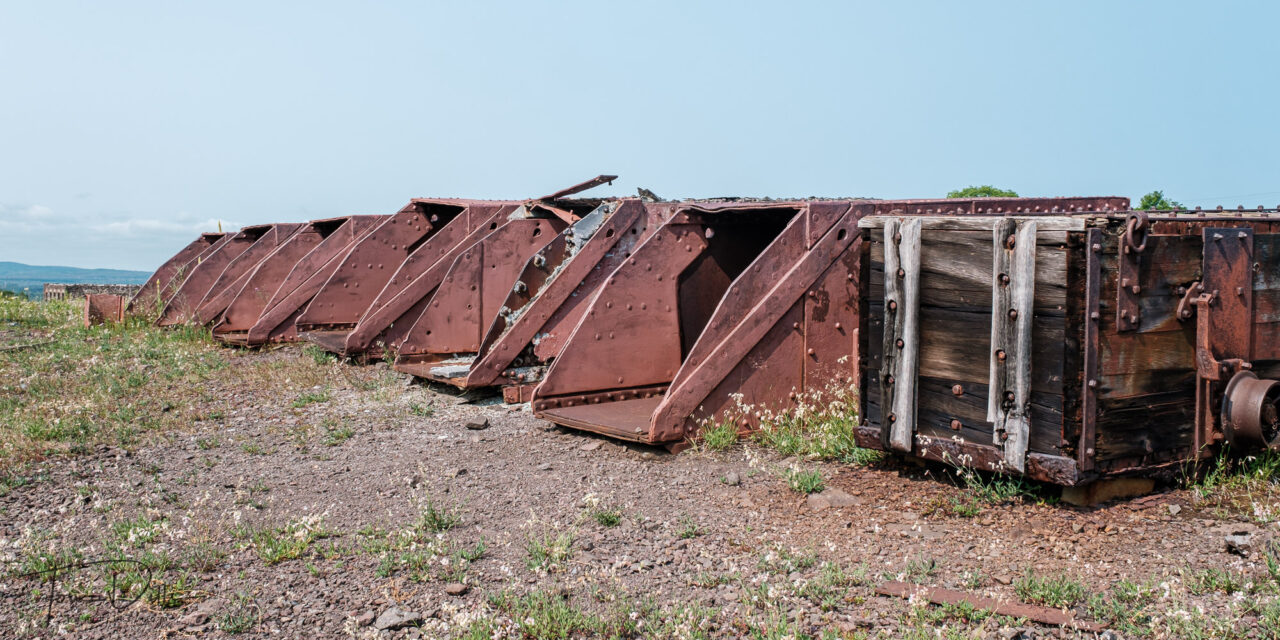
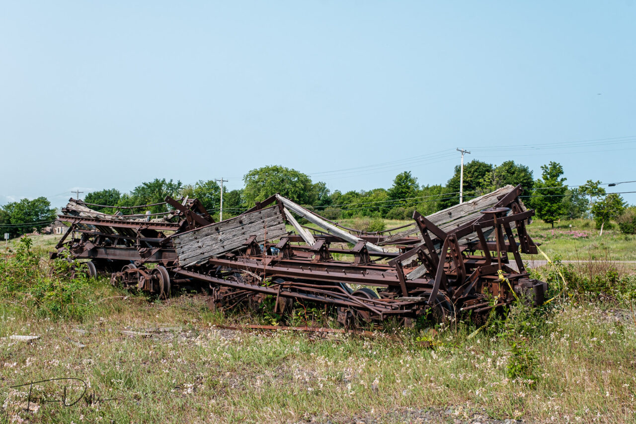
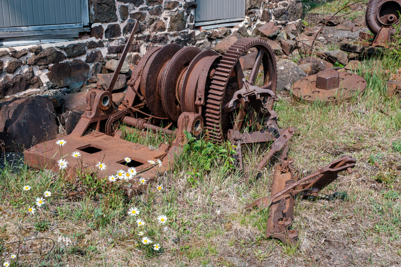
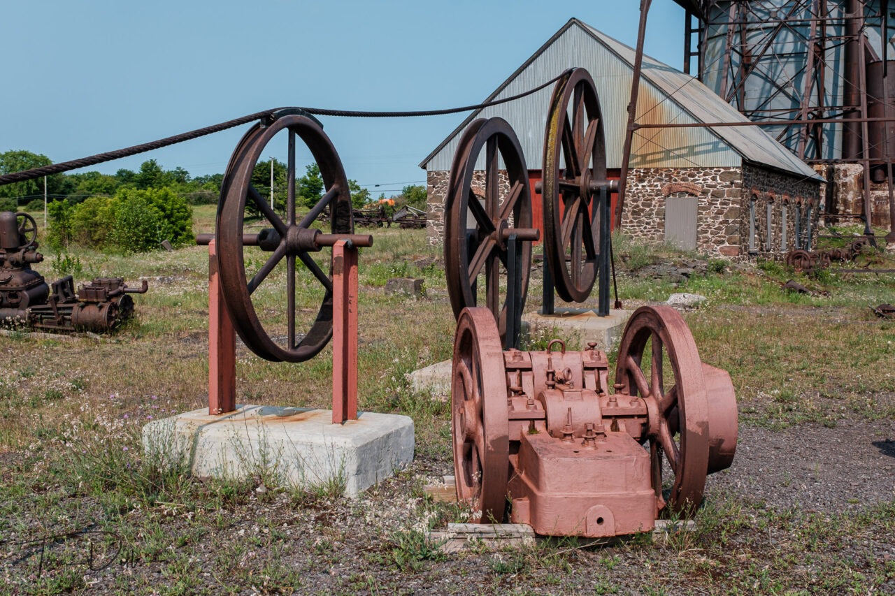
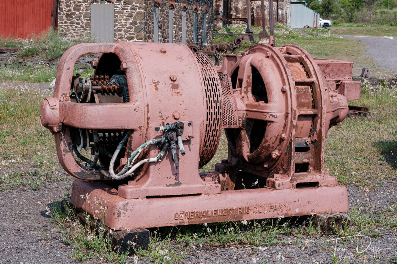
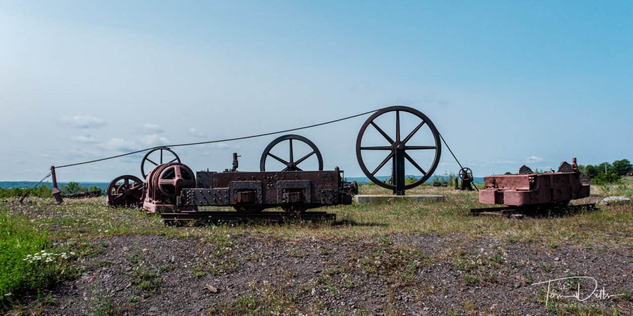
Abandoned mining equipment at The Quincy Mine, part of the Keweenaw National Historical Park in Houghton, MichiganAbandoned mining equipment at The Quincy Mine, part of the Keweenaw National Historical Park in Houghton, MichiganAbandoned mining equipment at The Quincy Mine, part of the Keweenaw National Historical Park in Houghton, MichiganAbandoned mining equipment at The Quincy Mine, part of the Keweenaw National Historical Park in Houghton, MichiganAbandoned mining equipment at The Quincy Mine, part of the Keweenaw National Historical Park in Houghton, Michigan
The most fascinating aspect is the size of the machinery that was used to move both man, equipment and materials in and out of the mine. But they produced a lot of copper over the years the mines were in operation. Once the copper ran out, the mines were abandoned and left to the elements. Fortunately there are a few of them still remaining, as reminders of the importance of copper to the area.
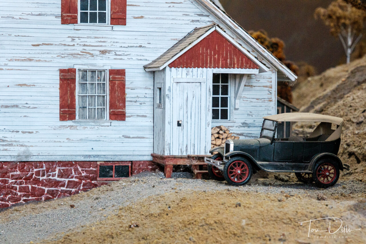
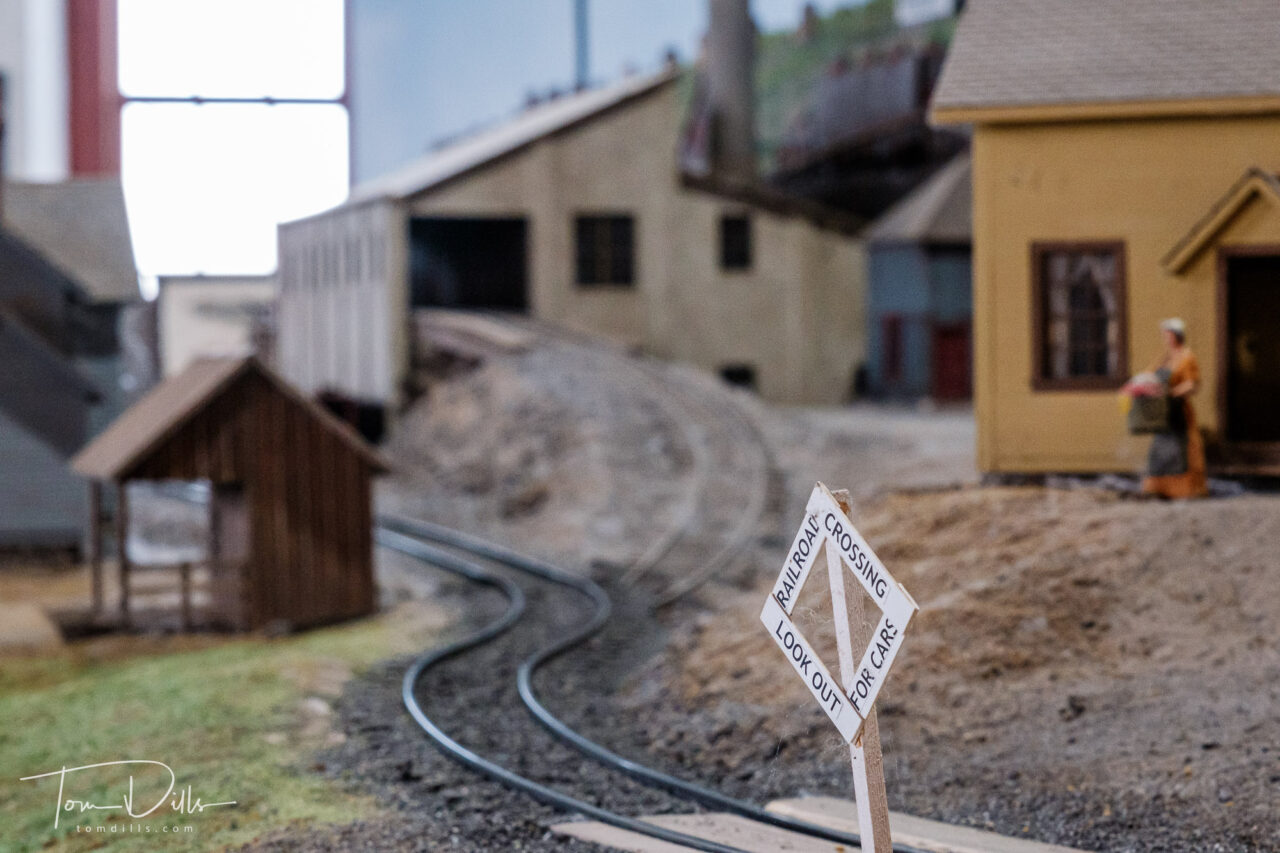
No. 2 Shaft-Rock House at The Quincy Mine, part of the Keweenaw National Historical Park in Houghton, MichiganAbandoned mining equipment at The Quincy Mine, part of the Keweenaw National Historical Park in Houghton, MichiganNo. 2 Shaft-Rock House at The Quincy Mine, part of the Keweenaw National Historical Park in Houghton, MichiganModel train layout at The Quincy Mine, part of the Keweenaw National Historical Park in Houghton, MichiganModel train layout at The Quincy Mine, part of the Keweenaw National Historical Park in Houghton, MichiganModel train layout at The Quincy Mine, part of the Keweenaw National Historical Park in Houghton, Michigan
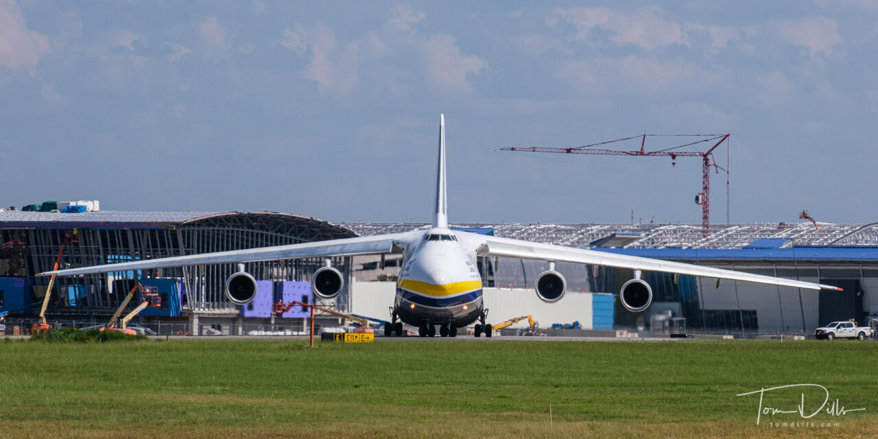
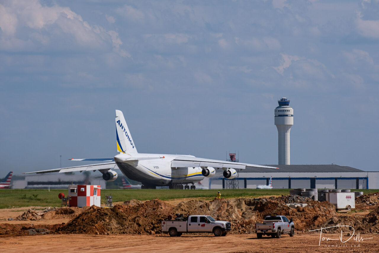
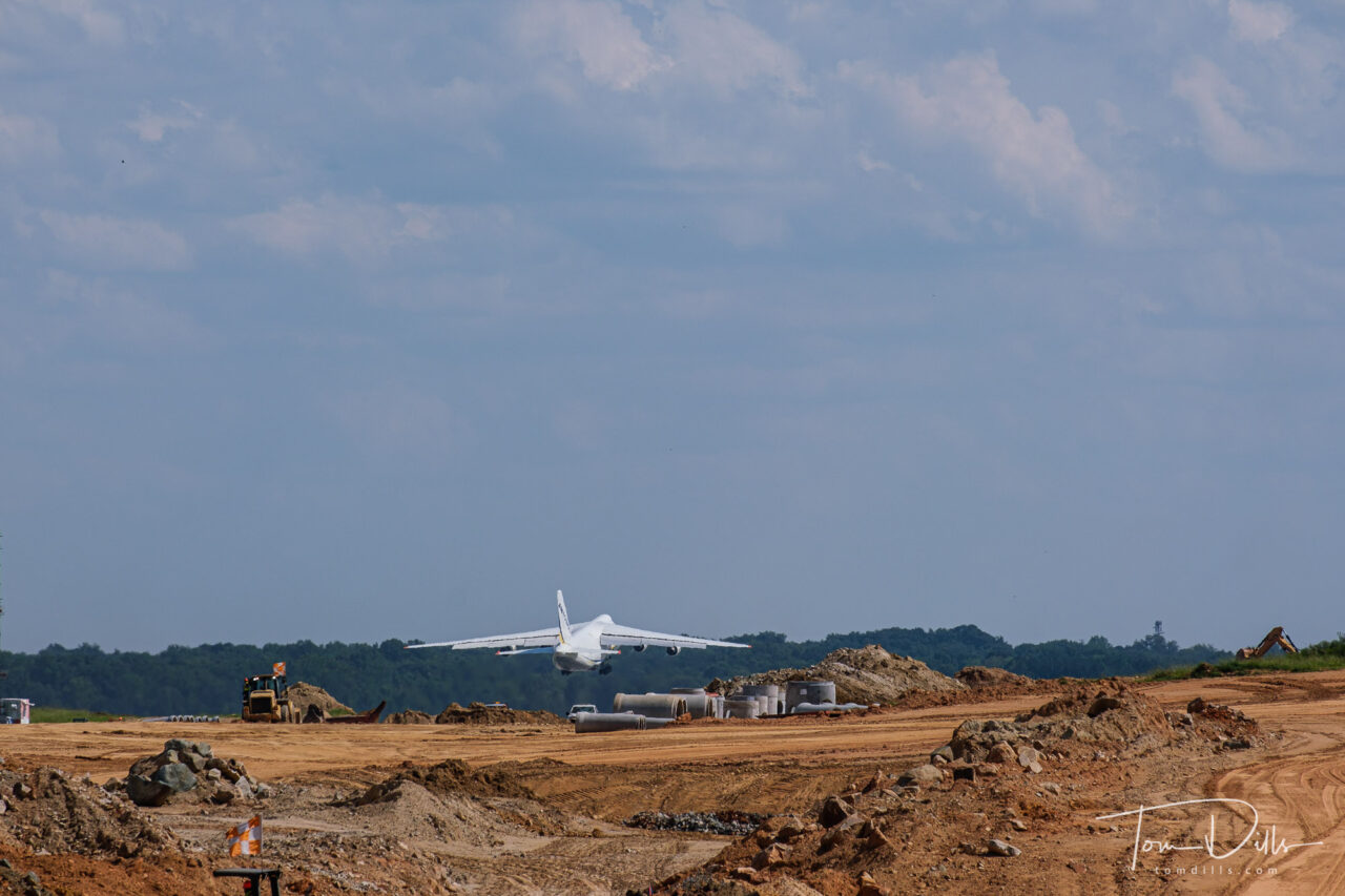
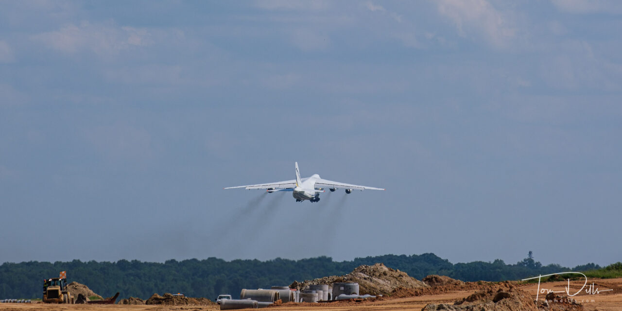
Antonov AN-124 cargo plane departing from Charlotte Douglas International Airport
Thanks to our son Scott, Kathy & I were alerted to a somewhat rare aircraft viewing opportunity. An Antonov AR-124 cargo aircraft, currently the largest production aircraft in the skies, had come to Charlotte Douglas International Airport (CLT) to deliver some aircraft parts. It was due to depart this afternoon at 3:40PM.
Antonov AN-124 cargo plane departing from Charlotte Douglas International Airport
CLT has had an “Airport Overlook” for years, overlooking the center runway, providing views of the terminal and many of the arriving and departing aircraft. The airport is currently adding a fourth parallel runway, so the overlook has been temporarily relocated to a spot a little farther away. Not really a big deal, although I had to crop out a lot of foreground construction clutter, thus the 1:2 aspect ratio. Although it isn’t a bad aspect ratio for the subject matter anyway.
Antonov AN-124 cargo plane departing from Charlotte Douglas International AirportAntonov AN-124 cargo plane departing from Charlotte Douglas International Airport
Other than the Air Force Reserve C-17s and the Lufthansa A-340s, and of course the occasional visit from Air Force One, this is about the largest plane we see in lil’ ole Charlotte. It was pretty impressive!
Antonov AN-124 cargo plane departing from Charlotte Douglas International AirportAntonov AN-124 cargo plane departing from Charlotte Douglas International Airport
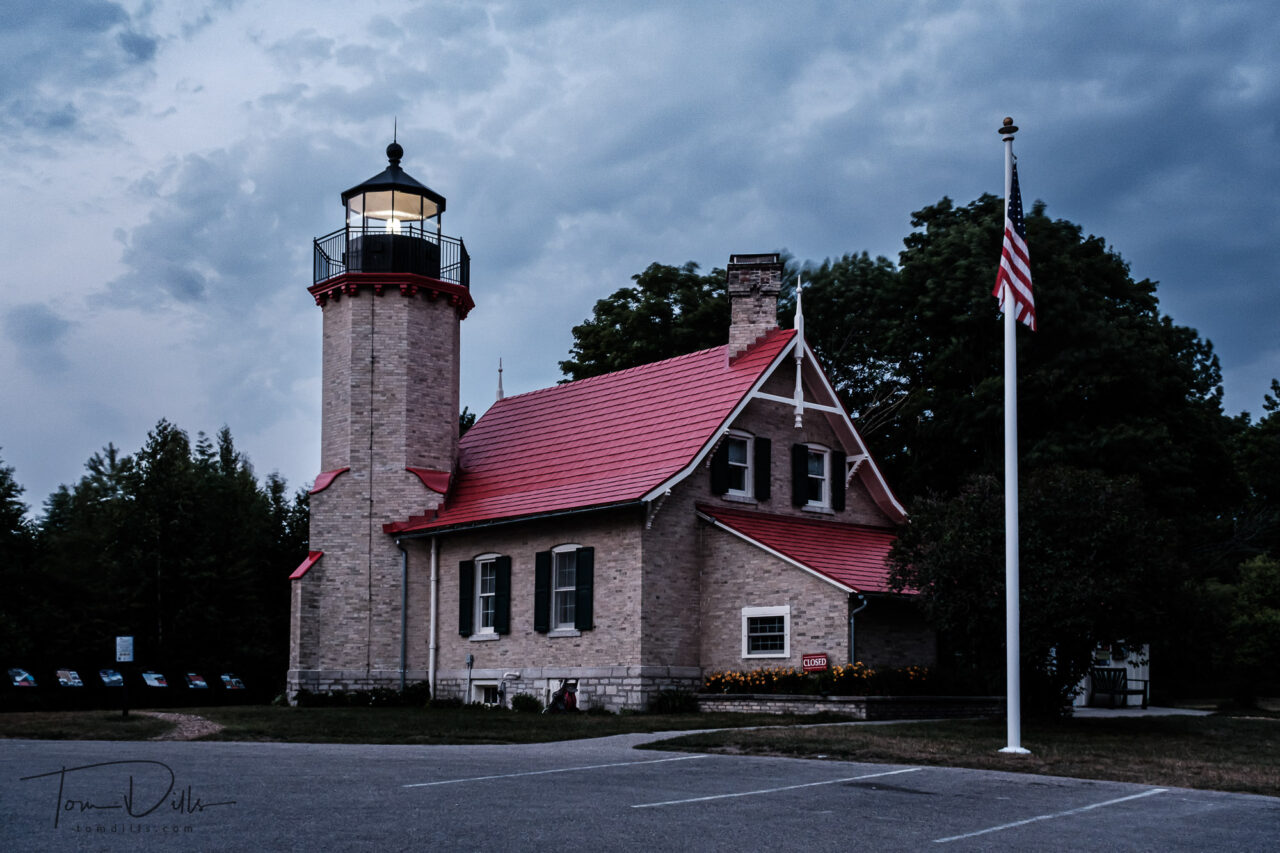
McGulpin Point Lighthouse on Lake Michigan in Mackinaw City, Michigan
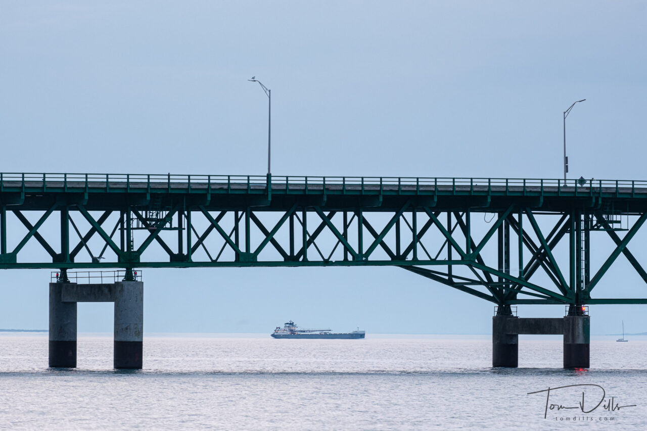
I had seen on the map of Mackinaw City that there were several lighthouses along the lake front. After our time photographing the bridge, we sought a good view of the nearest one, at McGulpin Point. Unfortunately, unless you are on the water it appears the only view of the lighthouse is from the parking lot! I did manage to get my shutter finger synchronized with the light pattern, so I have a few shots with the beacon lit!
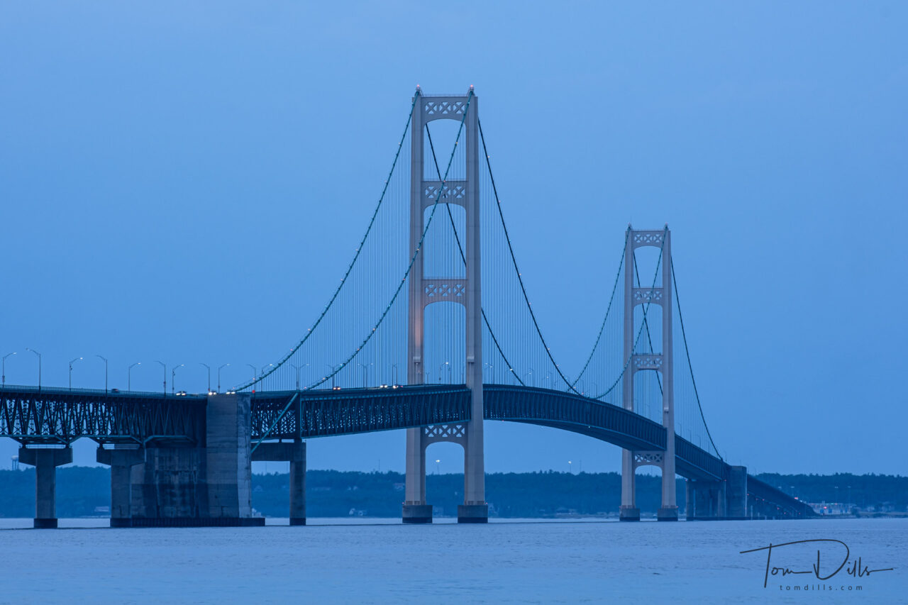
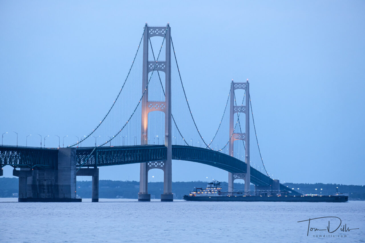
The Mackinac Bridge across the Straits of Mackinac, separating Lake Huron and Lake Michigan
In order to get to the U.P. of Michigan from Ohio we needed to either cross the Mackinac Bridge or drive through Chicago. Easy choice, right? Because our backsides get tired if we try to stretch the drive too far and we also had some other things we wanted to do on the way, we decided to find a place to stop. Looking at our options, it seemed like either Mackinaw City on the south side of the Straits of Mackinac, or St. Ignace on the north side, would be good options. We chose Mackinaw City. Note the different spellings – it can be confusing to use the right one, but they are all pronounced the same – MAC-in-aw.
The Straits of Mackinac mark the dividing line between Lake Huron on the east side and Lake Michigan on the west side.
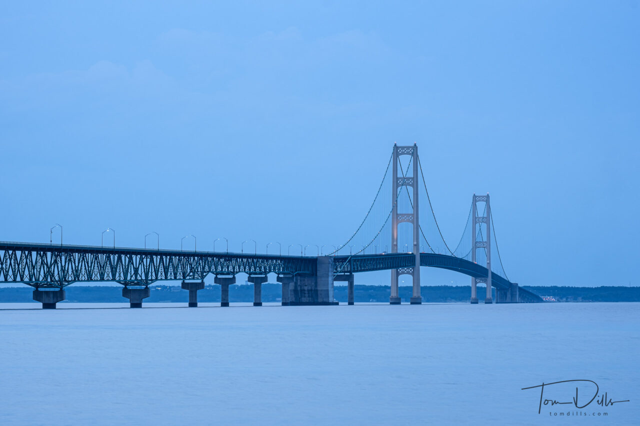
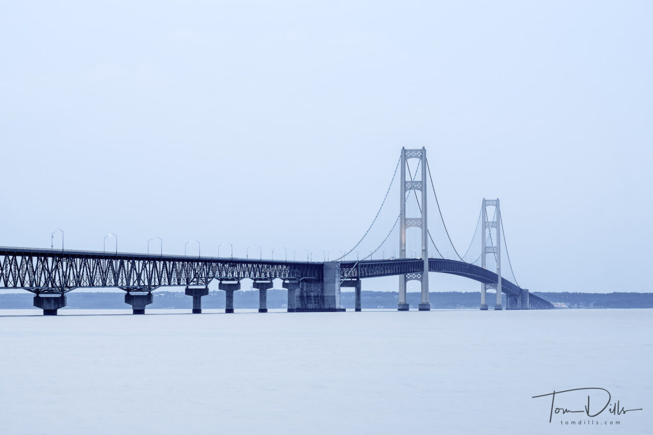
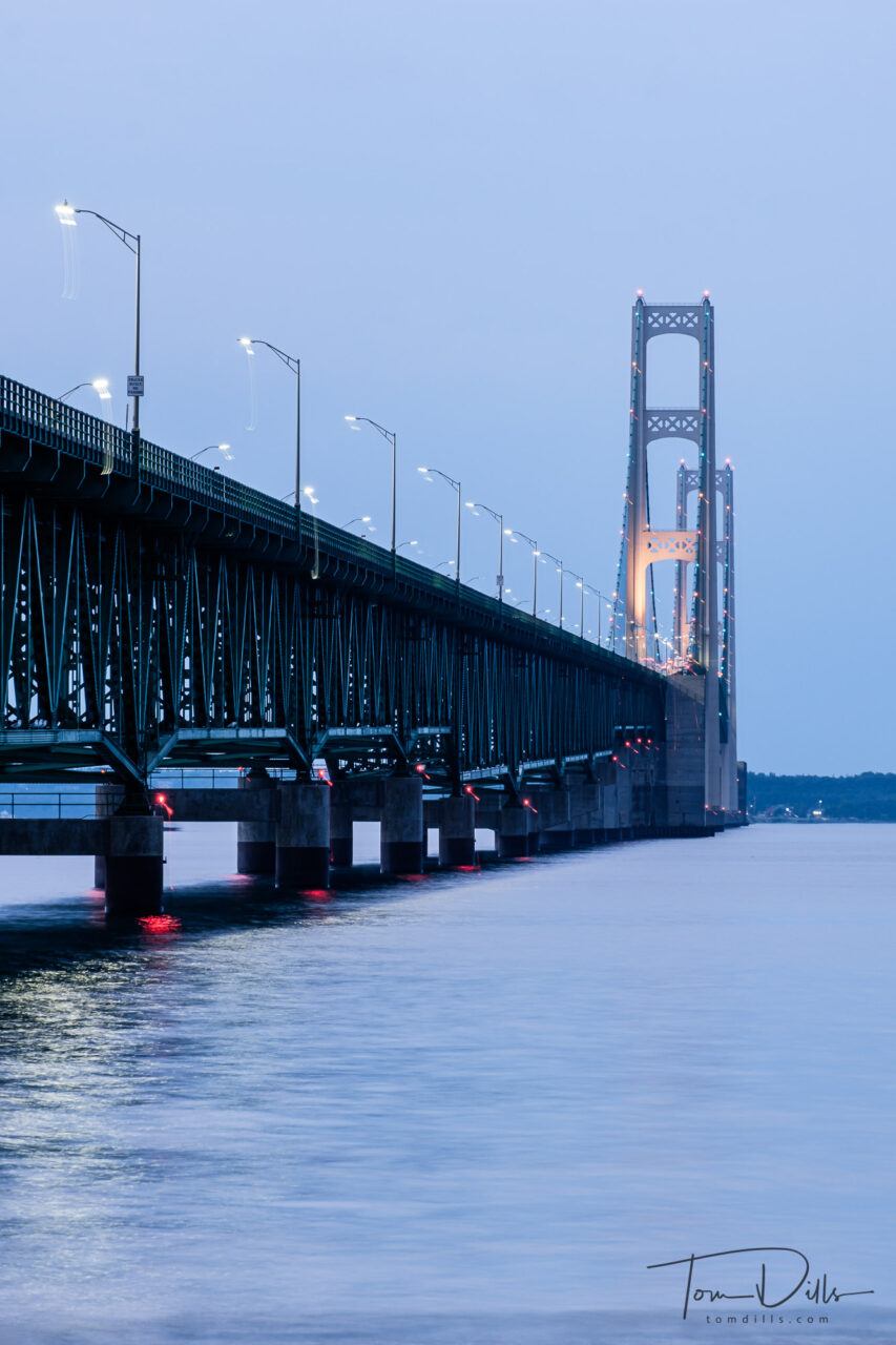
The Mackinac Bridge across the Straits of Mackinac, separating Lake Huron and Lake MichiganThis is the same image as the one above, but I decided to try a different treatment. I thought the high key/desaturated version came out quite nice.The Mackinac Bridge across the Straits of Mackinac, separating Lake Huron and Lake MichiganThe Mackinac Bridge across the Straits of Mackinac, separating Lake Huron and Lake Michigan
We only had one evening there, and it turned out to be quite cloudy. The light was very flat and blue, but I did with it what I could. It was the first real world trial of my newly purchased tripod, and it appears to have performed quite well. I did have a few cases where the photos are blurry, but they are long exposures where I forgot to turn off my image stabilization. I know the manual says you don’t need to, that the lenses are smart enough to know, but I’ve found that to be dubious.
The Mackinac Bridge, also referred to as the Mighty Mac or Big Mac, is a suspension bridge that connects the Upper and Lower peninsulas of the U.S. state of Michigan. It spans the Straits of Mackinac, a body of water connecting Lake Michigan and Lake Huron, two of the Great Lakes. Opened in 1957, the 26,372-foot/4.995 mi/8.038 km long bridge is the world’s 27th-longest main span and is the longest suspension bridge between anchorages in the Western Hemisphere. The Mackinac Bridge is part of Interstate 75 and the Lake Michigan and Huron components of the Great Lakes Circle Tour across the straits; it is also a segment of the U.S. North Country National Scenic Trail. The bridge connects the city of St. Ignace to the north with the village of Mackinaw City to the south.
Envisioned since the 1880s, the bridge was designed by the engineer David B. Steinman and completed in 1957 only after many decades of struggles to begin construction. The bridge has since become an iconic symbol of the state of Michigan.
The bridge opened on November 1, 1957, connecting two peninsulas linked for decades by ferries. At the time, the bridge was formally dedicated as the “world’s longest suspension bridge between anchorages”, allowing a superlative comparison to the Golden Gate Bridge, which has a longer center span between towers, and the San Francisco–Oakland Bay Bridge, which has an anchorage in the middle.
It remains the longest suspension bridge with two towers between anchorages in the Western Hemisphere. Much longer anchorage-to-anchorage spans have been built in the Eastern Hemisphere, including the Akashi Kaikyō Bridge in Japan (6,532 ft or 1,991 m), but the long leadups to the anchorages on the Mackinac make its total shoreline-to-shoreline length of 26,372 feet — 28 feet short of five miles (8.0 km) — longer than the Akashi Kaikyo (2.4 mi or 3.9 km).
The length of the bridge’s main span is 3,800 feet (1,158 m), which makes it the third-longest suspension span in the United States and 27th longest suspension span worldwide. It is also one of the world’s longest bridges overall.
The Mackinac Bridge across the Straits of Mackinac, separating Lake Huron and Lake Michigan
This photo I like very much, but I am puzzled by the trails below and to the right of all the lights. The bridge is in sharp focus, so all I can think is that the tripod must have slipped a little either at the very beginning or end of the 3 second exposure (3 seconds at f11, focal length 134.5mm) .
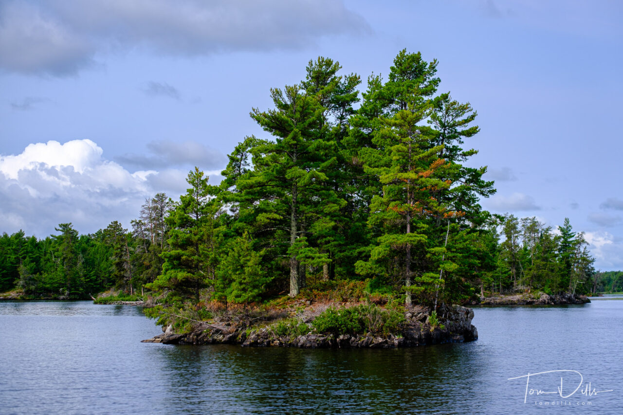
Cruise on Rainy Lake aboard The Voyageur. Voyageurs National Park, Minnesota
We capped off our road trip with an unplanned visit to Voyageurs National Park in Minnesota. Unplanned, because when I first thought about visiting the Northernmost Point I never even bothered to see what else there was to do near International Falls. Rookie mistake!
When we drove into International Falls and saw the signs for Voyageurs, I did a forehead slap and said “you dummy – how did you not remember this was here?!?!?” We were able to book a boat cruise on Rainy Lake and it turned out to be one of the highlights of the trip. Fortunately for us, Rainy Lake was not rainy on the day we visited, and I got a bunch of nice photos. We didn’t see much wildlife, but we did get to see lots of beautiful scenery. The lake is dotted with thousands of little islands like this one.
I’m posting way out of order, but we have begun our final leg toward home, so I wanted to post one final photo from the road. I’ll have more photos and stories once I get home and am catching up!