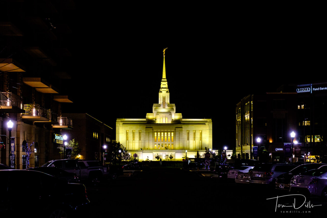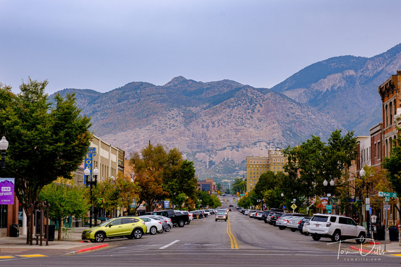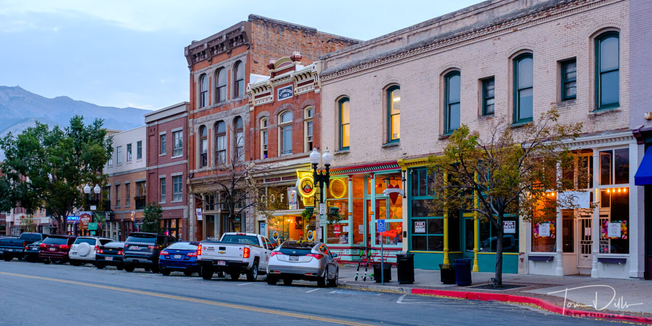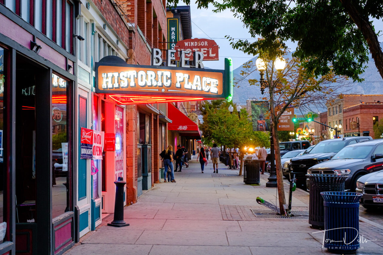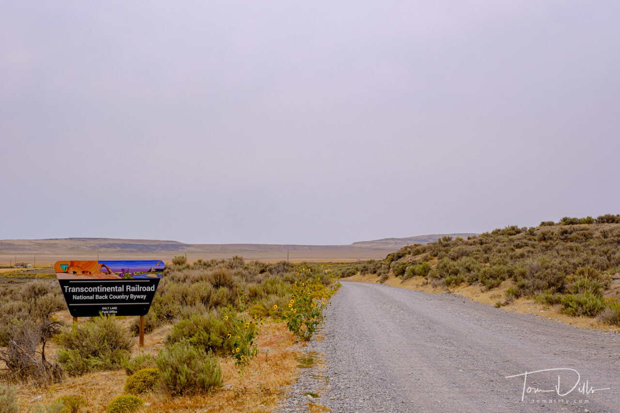
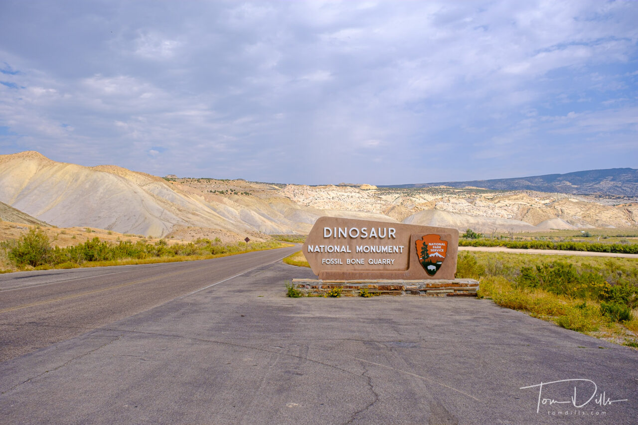
As we started our eastward return leg from Ogden toward Colorado, we had one more stop to make in Utah. Dinosaur National Monument straddles the eastern Utah and western Colorado border. The park’s primary claim to fame is the Fossil Quarry, located on the Utah side near the town of Jensen, UT. Jensen lies along US-40, roughly halfway between Park City, UT and Steamboat Springs, CO.
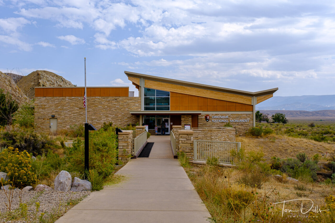
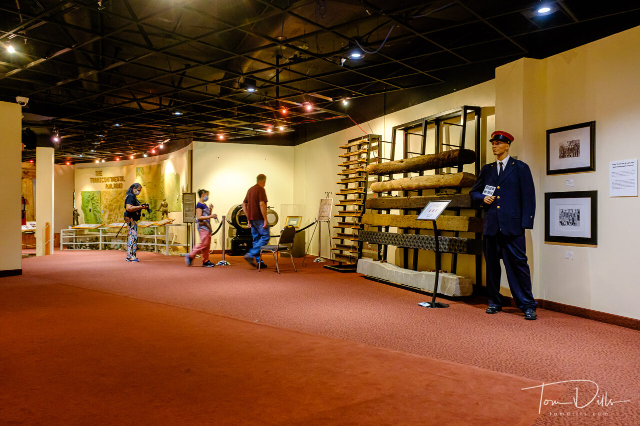
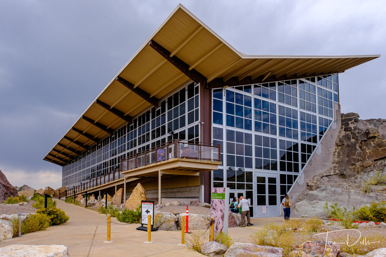
The Quarry Visitor Center contains numerous exhibits about the history of the area, including the quarry wall itself that is now housed within an impressive building. The building itself was operating at a greatly reduced capacity with reservations required. We made our reservations several days in advance and had no trouble getting in. Interestingly no one actually asked us for documentation of our reservations, although I’m certain they are checked randomly.
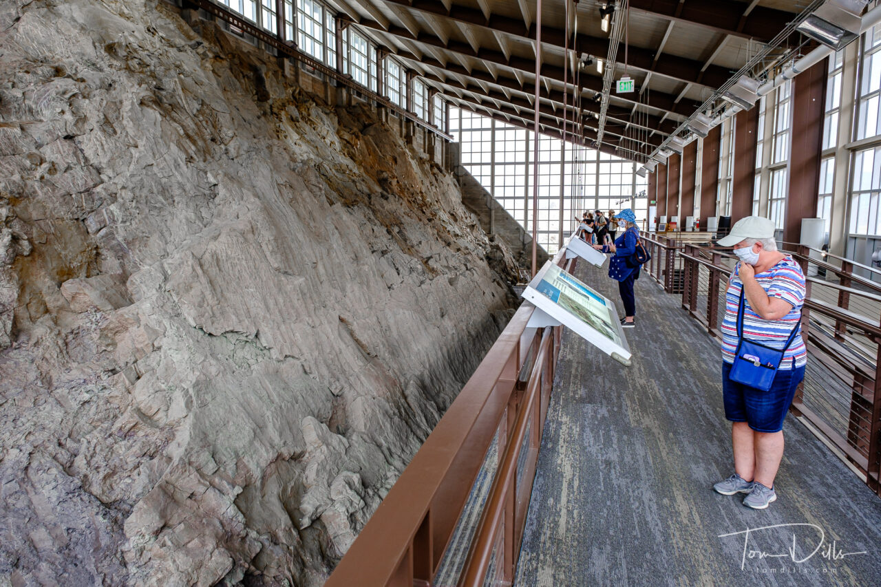
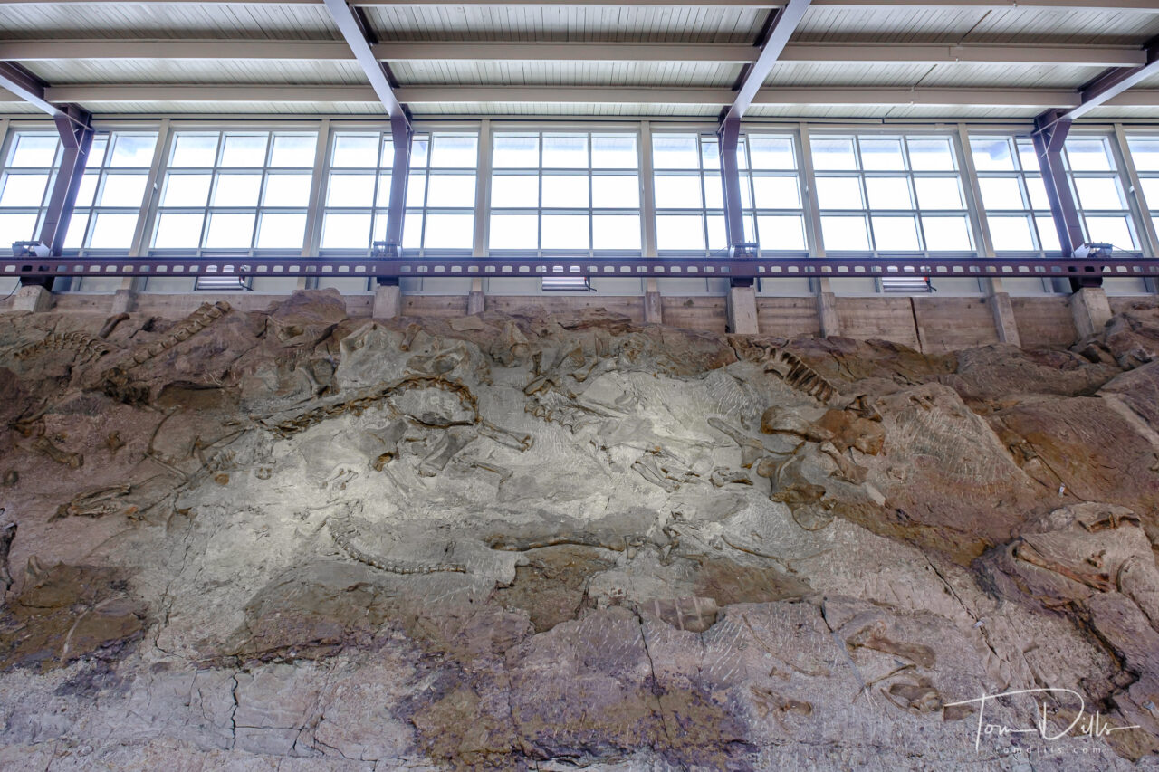
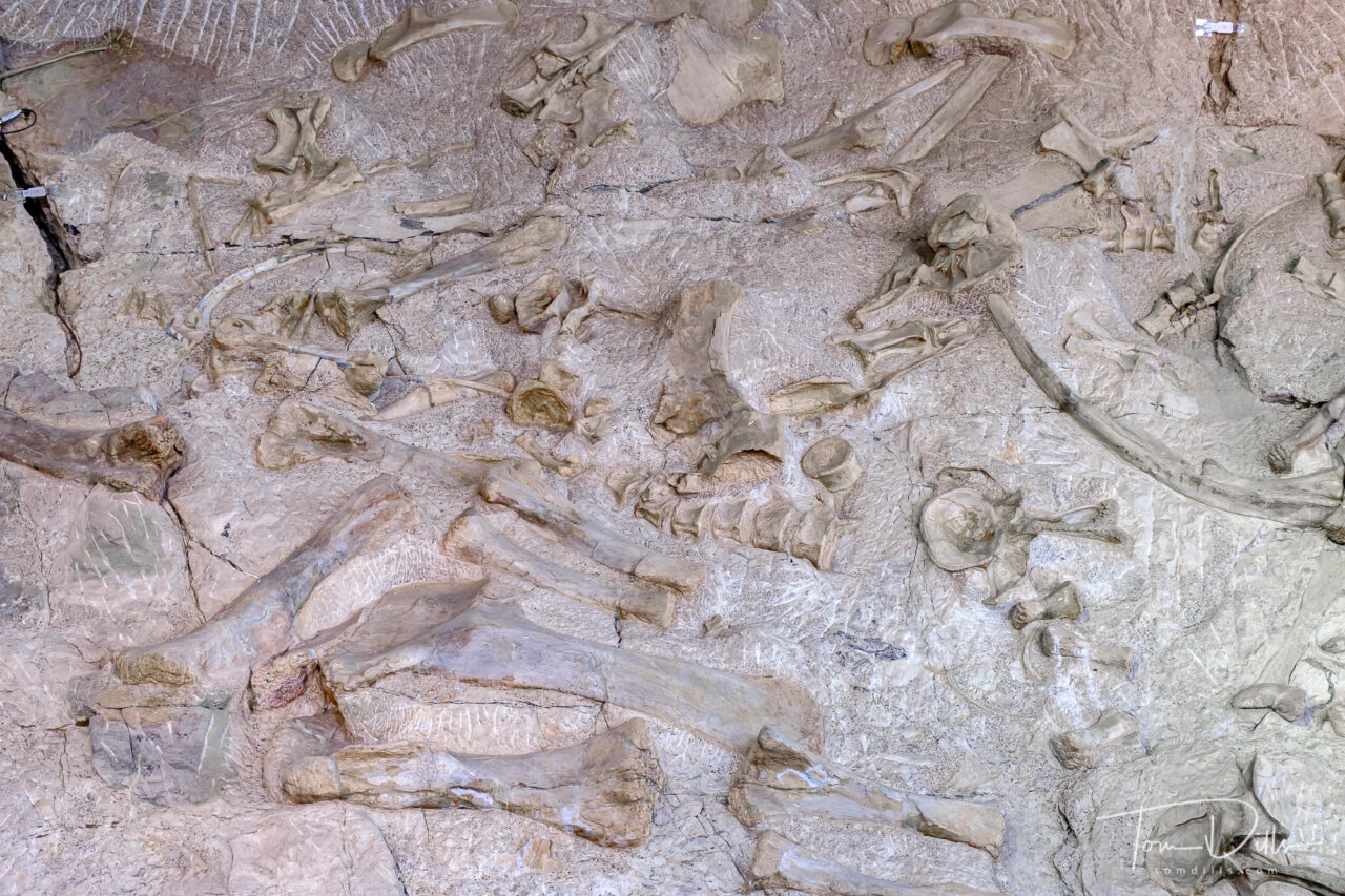
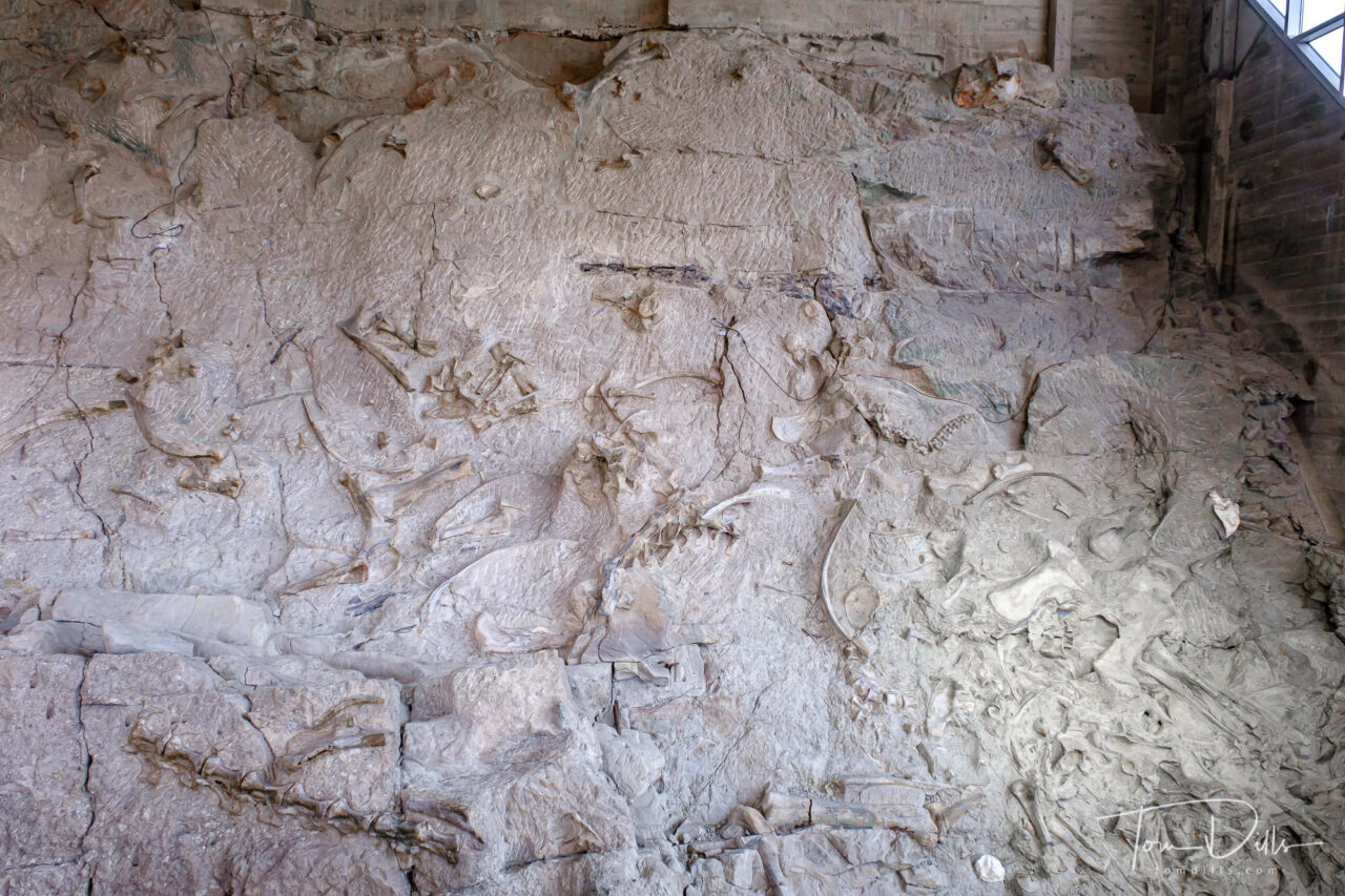
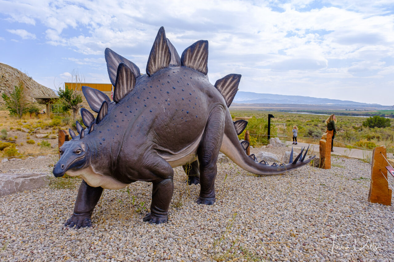
The dinosaur fossil beds were discovered in 1909 by Earl Douglass, a paleontologist working and collecting for the Carnegie Museum of Natural History. He and his crews excavated thousands of fossils and shipped them back to the museum in Pittsburgh, PA for study and display. President Woodrow Wilson proclaimed the dinosaur beds as Dinosaur National Monument in 1915. The monument boundaries were expanded in 1938 from the original 80 acres surrounding the dinosaur quarry in Utah, to 210,844 acres in Utah and Colorado, encompassing the river canyons of the Green and Yampa. It’s hard to believe that the fossils that remain today are the “leftovers,” as it still makes for a very impressive display.
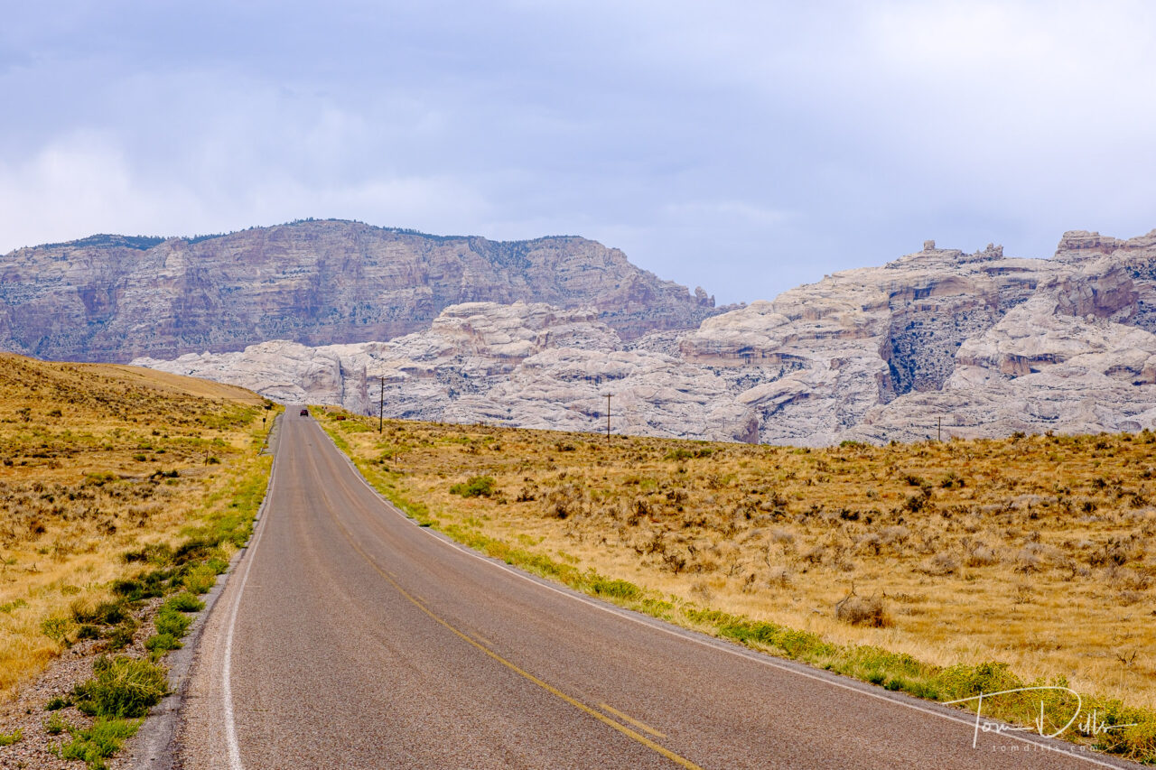
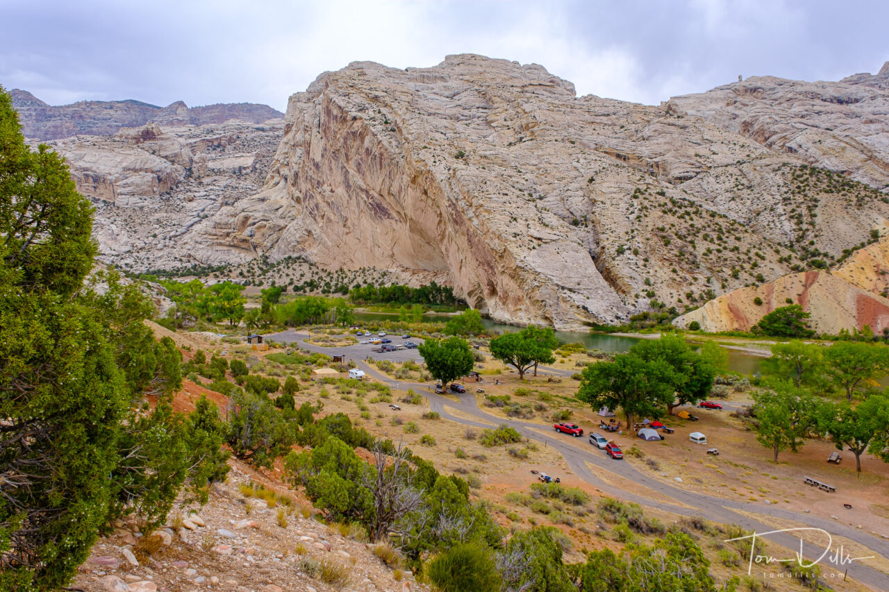
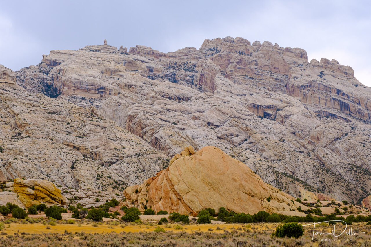
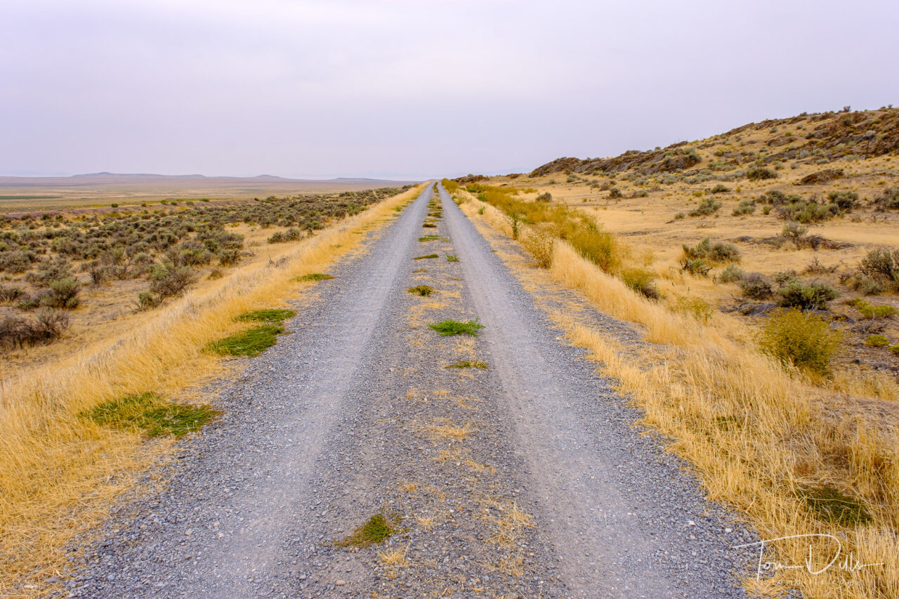
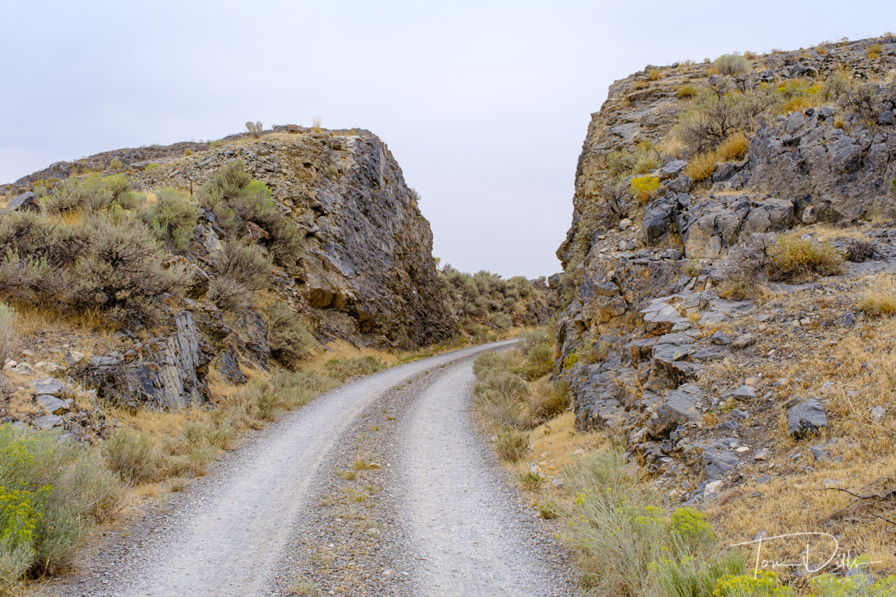
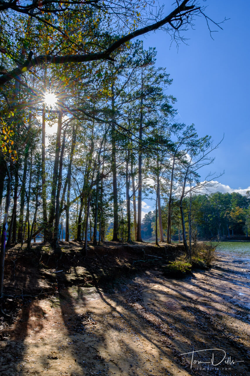
While the quarry is the main attraction, I was in many ways more impressed by the stunning scenery of the area surrounding the visitor center. We saw only a tiny portion of the 210+ thousand acres, and it would be quite easy to spend a lot more time exploring. But alas, we were on our way to Colorado and could only devote a few hours to the park. It’s not the kind of place you just happen to pass by, but we may decide to detour that way the next time we head west. The drive along US 40 is much more pleasant and scenic than I would expect I-70 or I-80 to be!
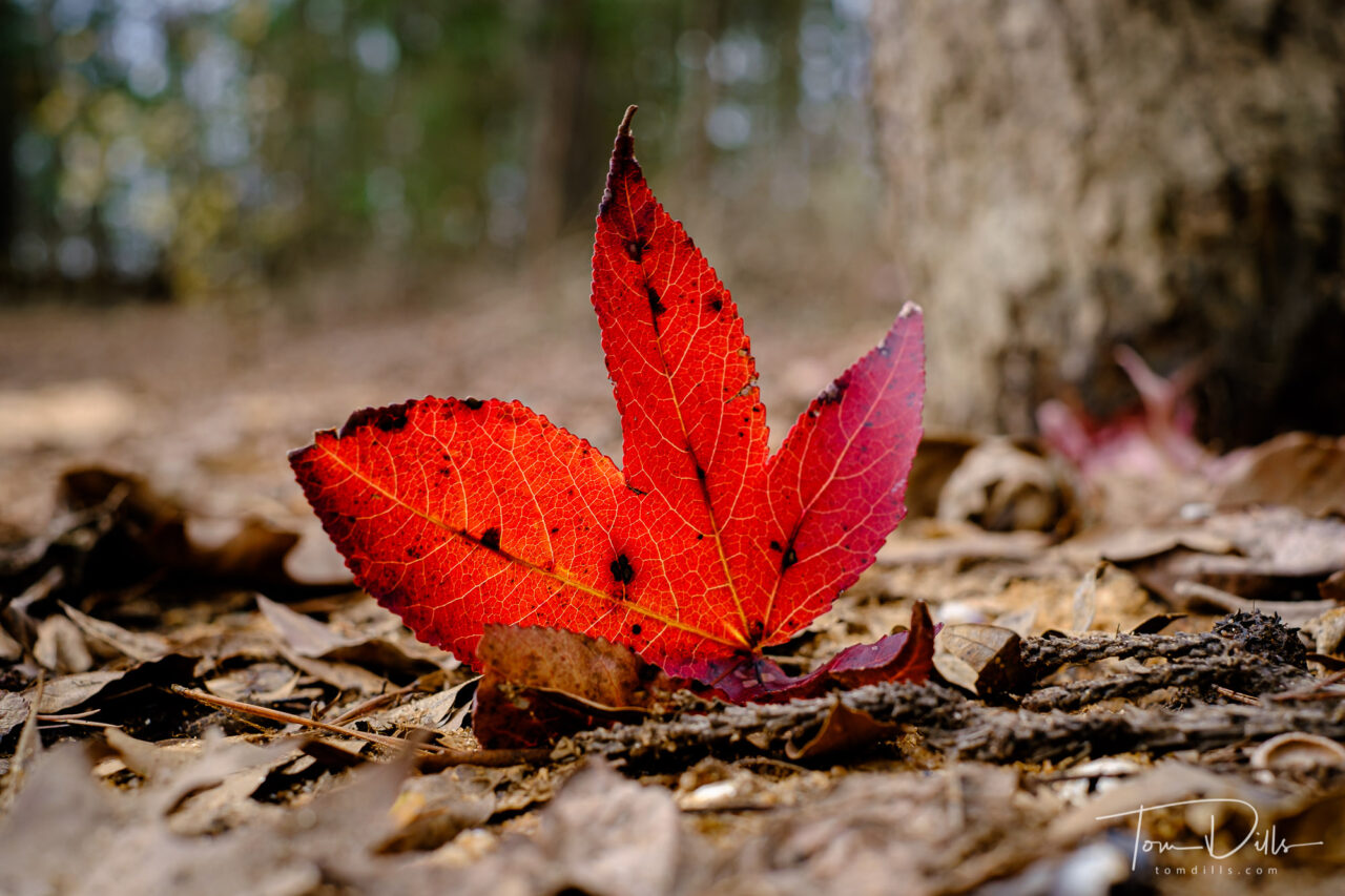
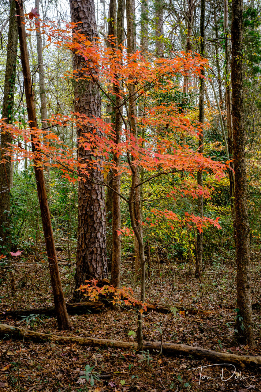
I’ll added a more complete gallery of photographs from Dinosaur on my Adobe Portfolio page.