Tag Archives: Fuji X-T4

Thoughts On Route 66

The Blue Swallow Motel on Historic Route 66 in Tucumcari, New Mexico

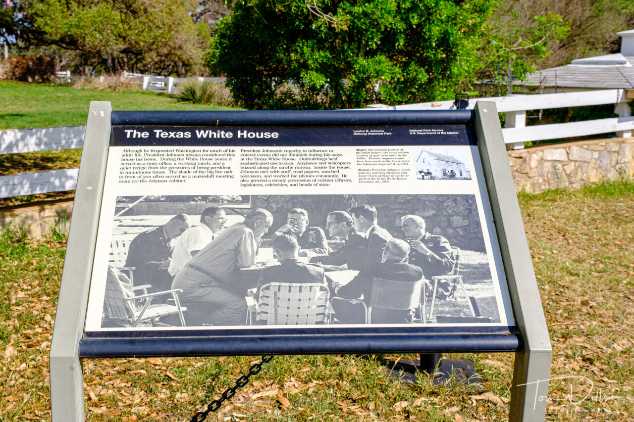
When we first started planning our visit to the Southwest, I was attracted to the idea of visiting all or part of Route 66, that legendary highway from Chicago to LA that marked the beginning of the car craze and gave rise to the whole road trip mystique that persists in the US to this day.  A lot of photographers have documented portions of this iconic road over the years, and I wanted a chance to see and photograph parts of it myself.

The Motel Safari on Historic Route 66 in Tucumcari, New Mexico
“Standin’ On The Corner” in Winslow, Arizona. Corner of N Kinsley Ave and 2nd Street
Historic Route 66 in Seligman, Arizona

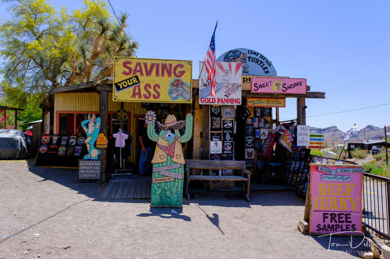
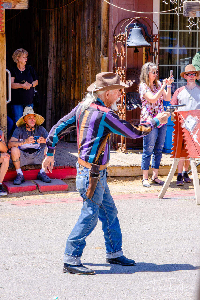
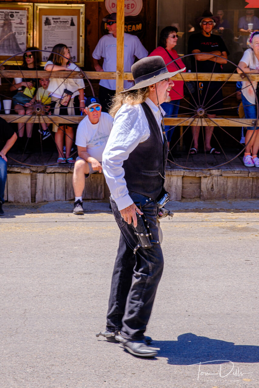
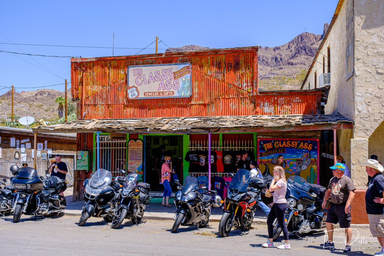
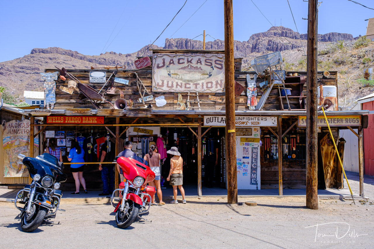
In doing our research, it seemed that a lot of the guidebooks are directed at people who want to travel every last remaining inch of the road.  There are lots of people who do that, and we ran into some of them, with their Official Route 66 T-shirts, hats, bumper stickers and guidebooks.  There were a few caravans of classic cars, motorcycles and other assorted vehicles.  But there seemed to be plenty of people like us, just attracted to the few remaining places that contain the nostalgia of the old “Mother Road” and wanting to see what it was all about.

Hackberry General Store along Historic Route 66 in Hackberry, Arizona
Burma Shave sign along Historic Route 66 approaching Seligman, Arizona

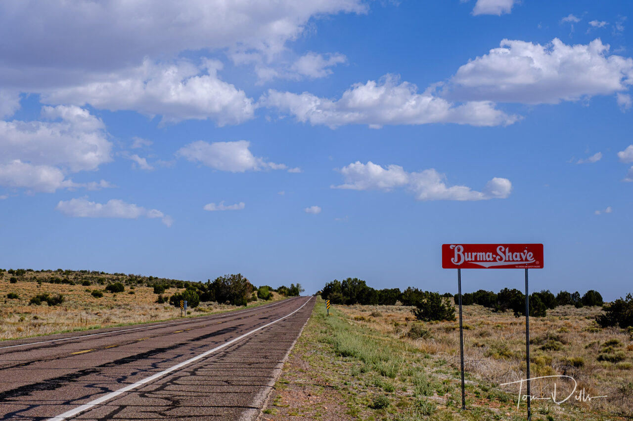
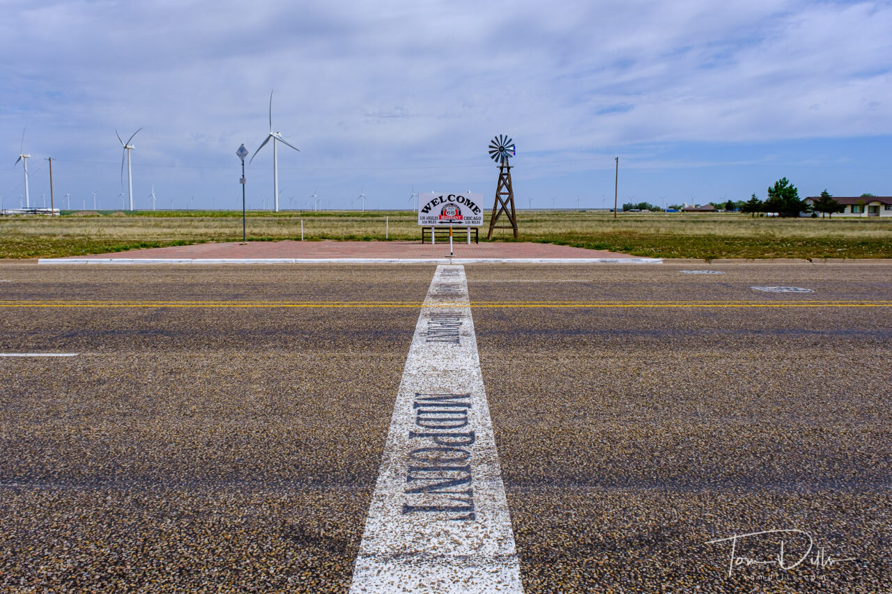
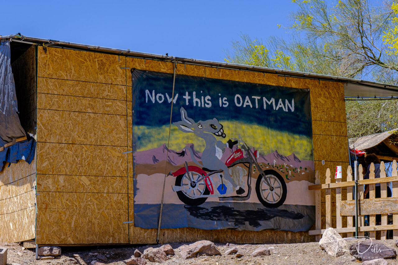
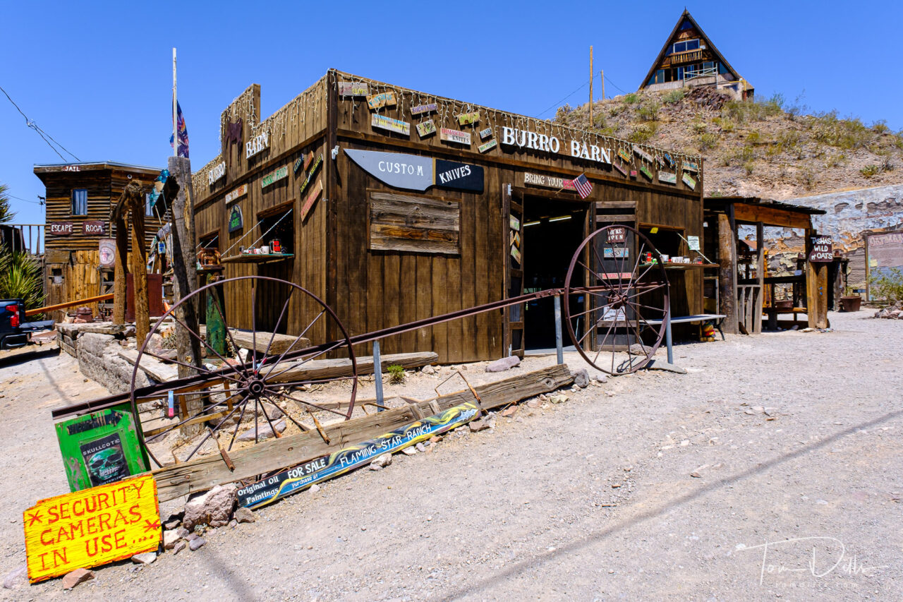
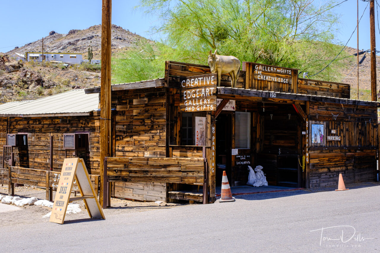
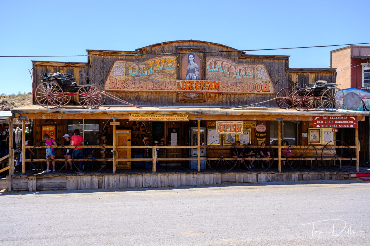
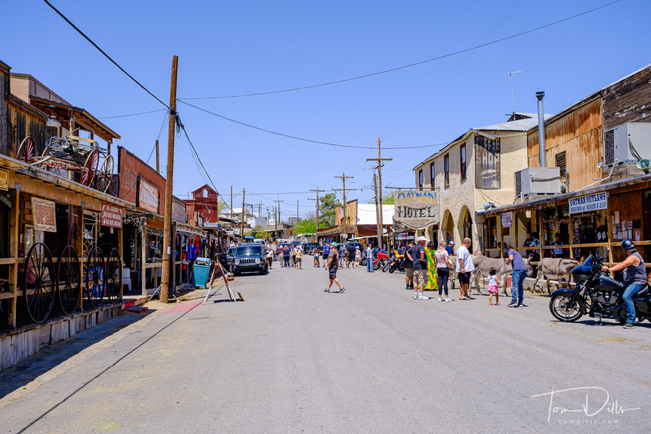
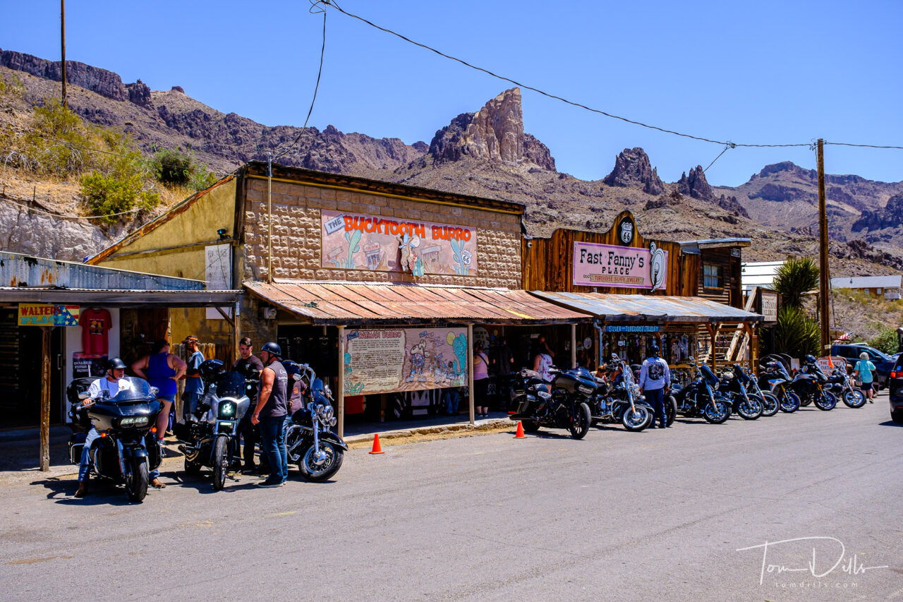
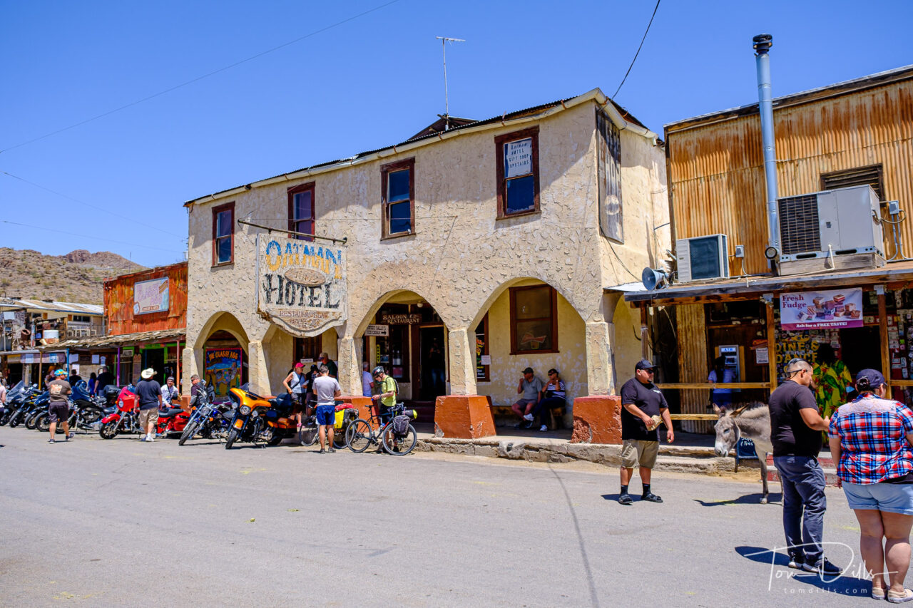
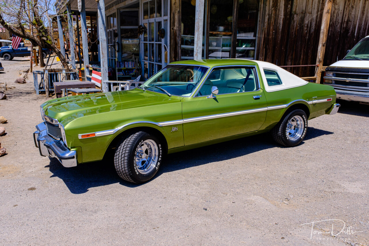
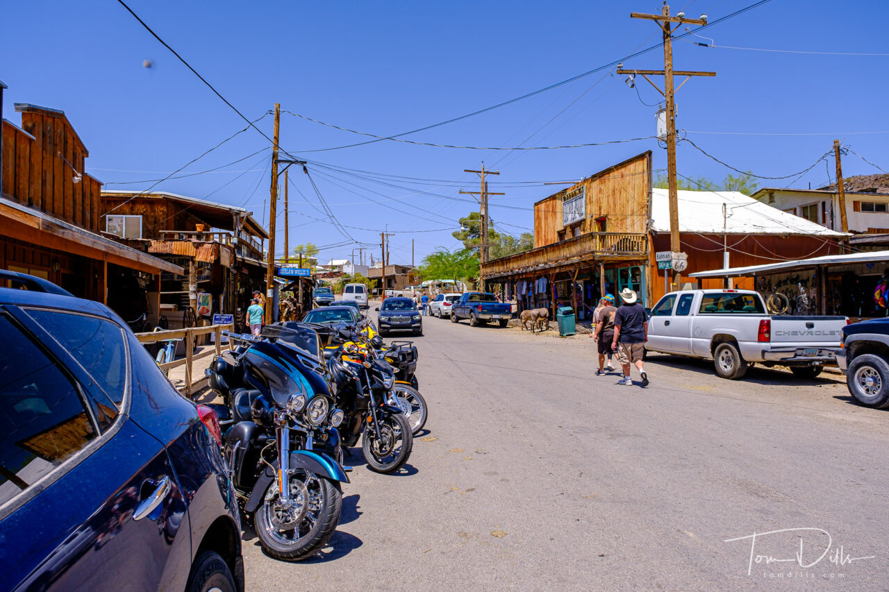
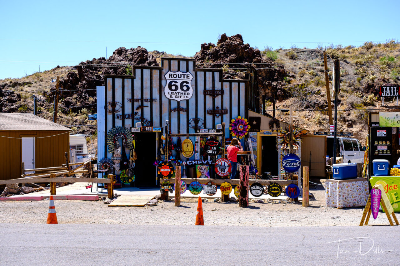
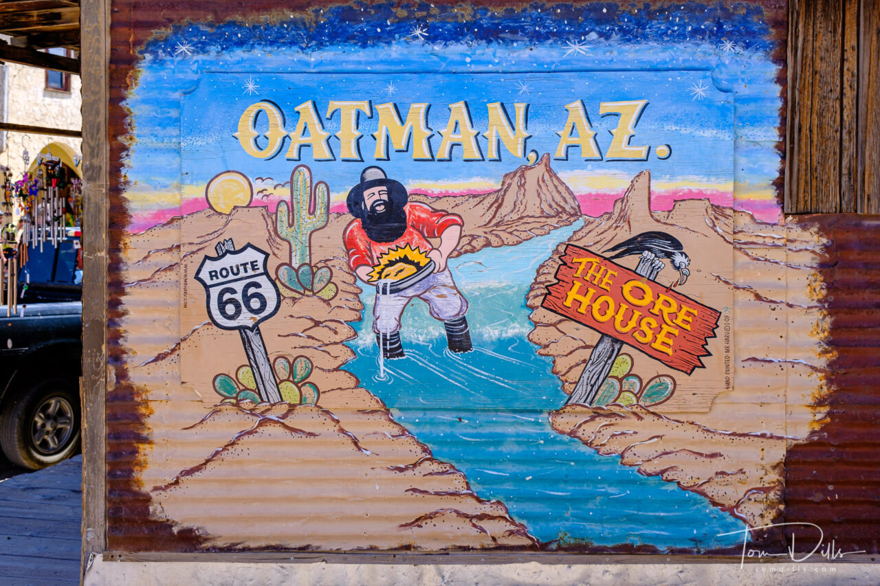
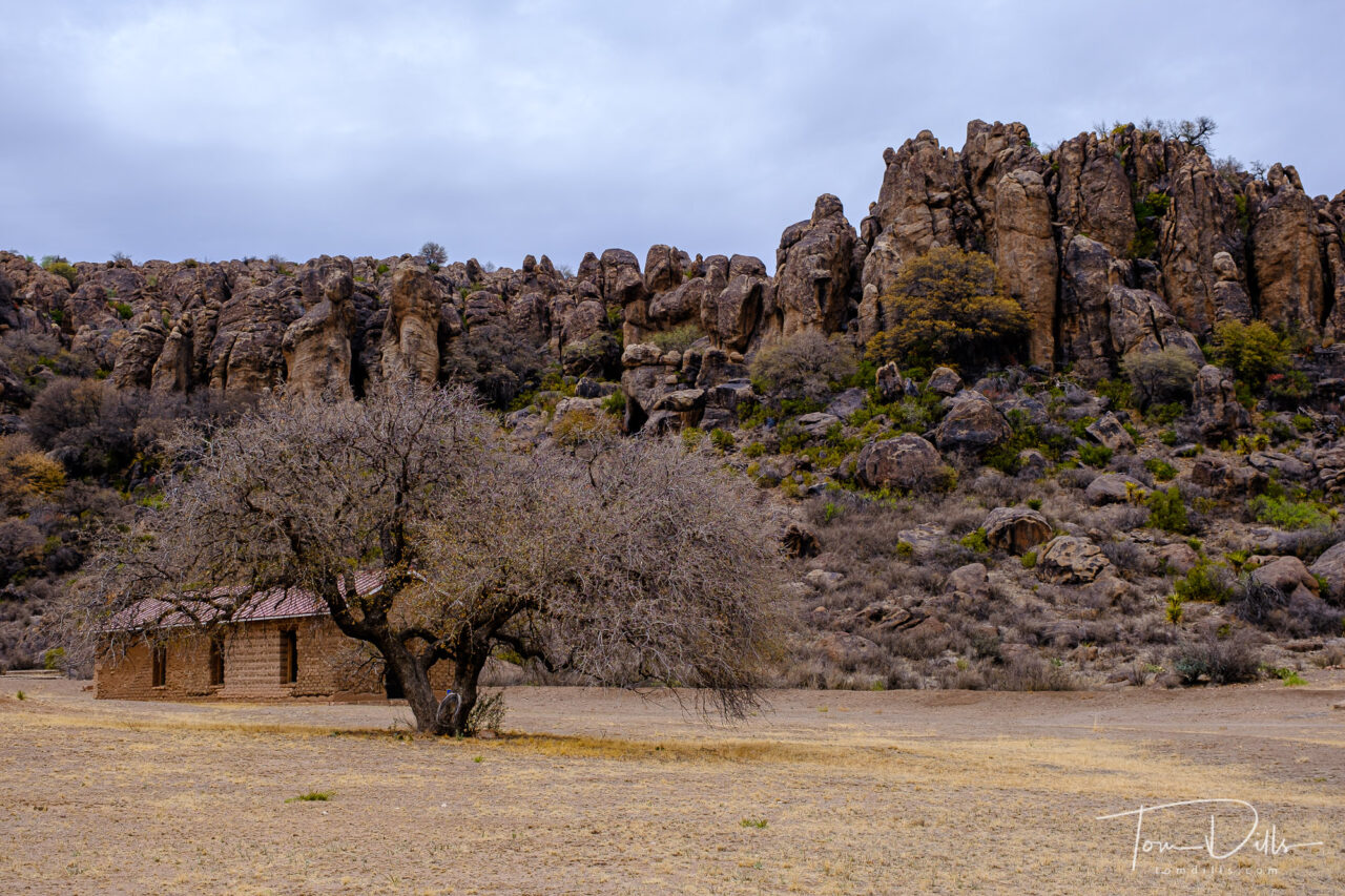
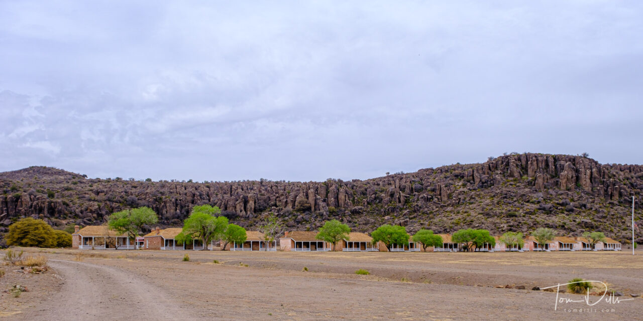
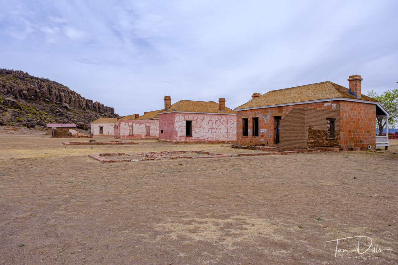
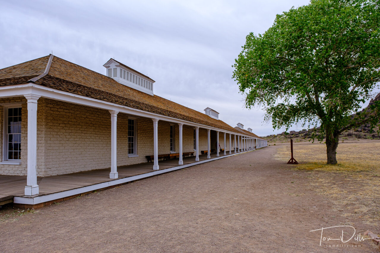
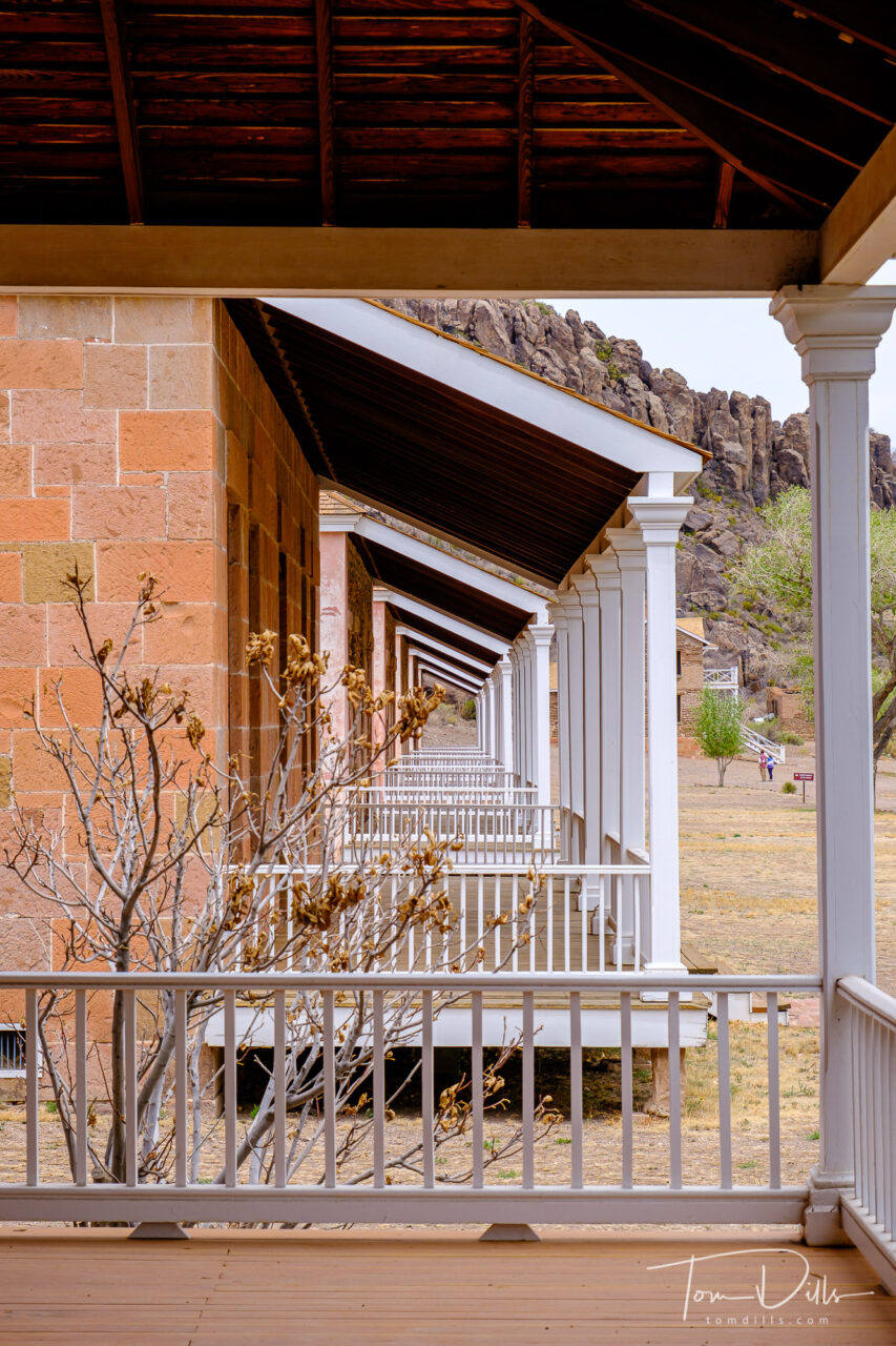
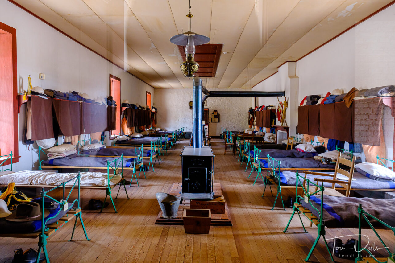
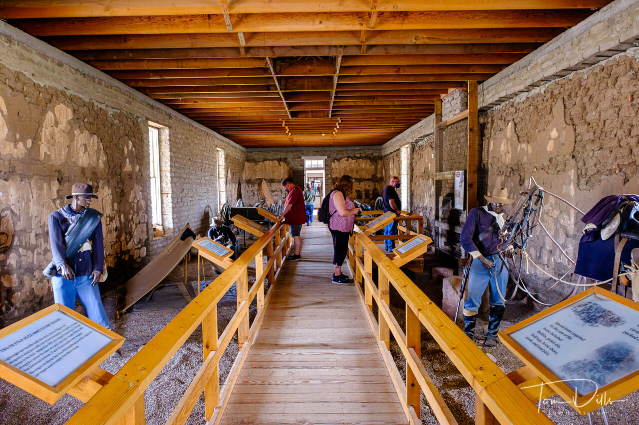
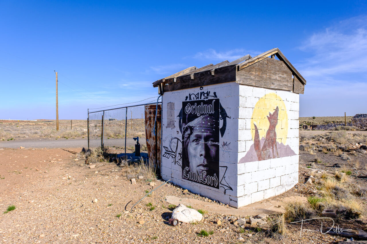
It wasn’t our intention to travel the whole route, or even all of the relatively small stretch we visited (we started in Oatman, AZ and kinda followed it as far as Yukon, Oklahoma.  After inadvertently finding ourselves on a 25+ mile long stretch of dirt road that “used to be” Route 66 at the New Mexico-Texas border I was glad weren’t expecting to cover the whole thing.  For the most part, the portions of the original route that remain are well marked with “Historic Route 66” signage.  But some parts are lost to time and conditions, and hardly suitable for travel by the people who live there, much less by tourists seeking to reconnect with history.

Historic Route 66 in Seligman, Arizona

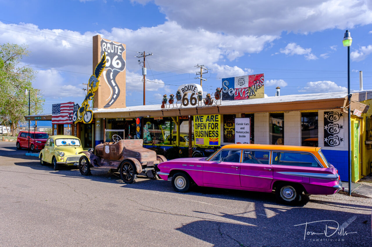
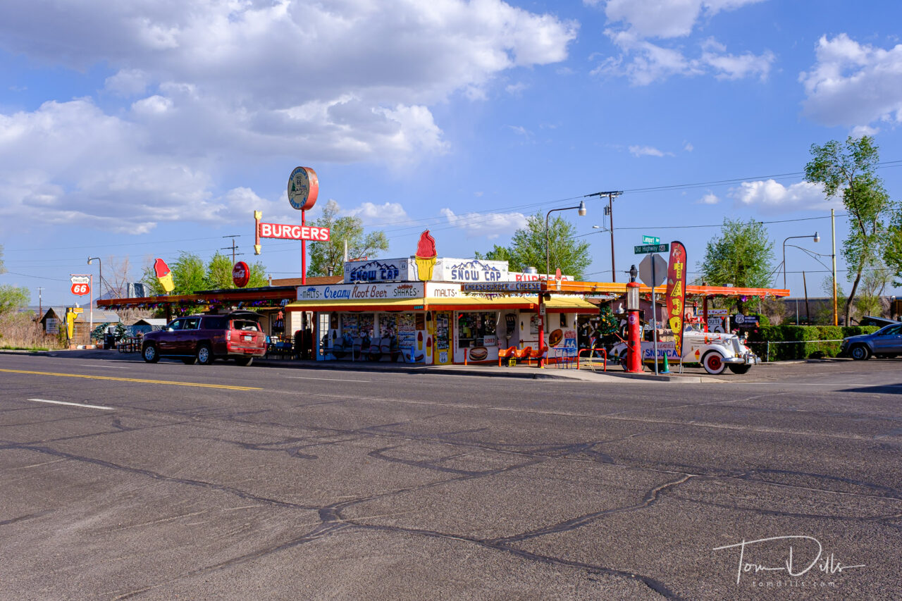
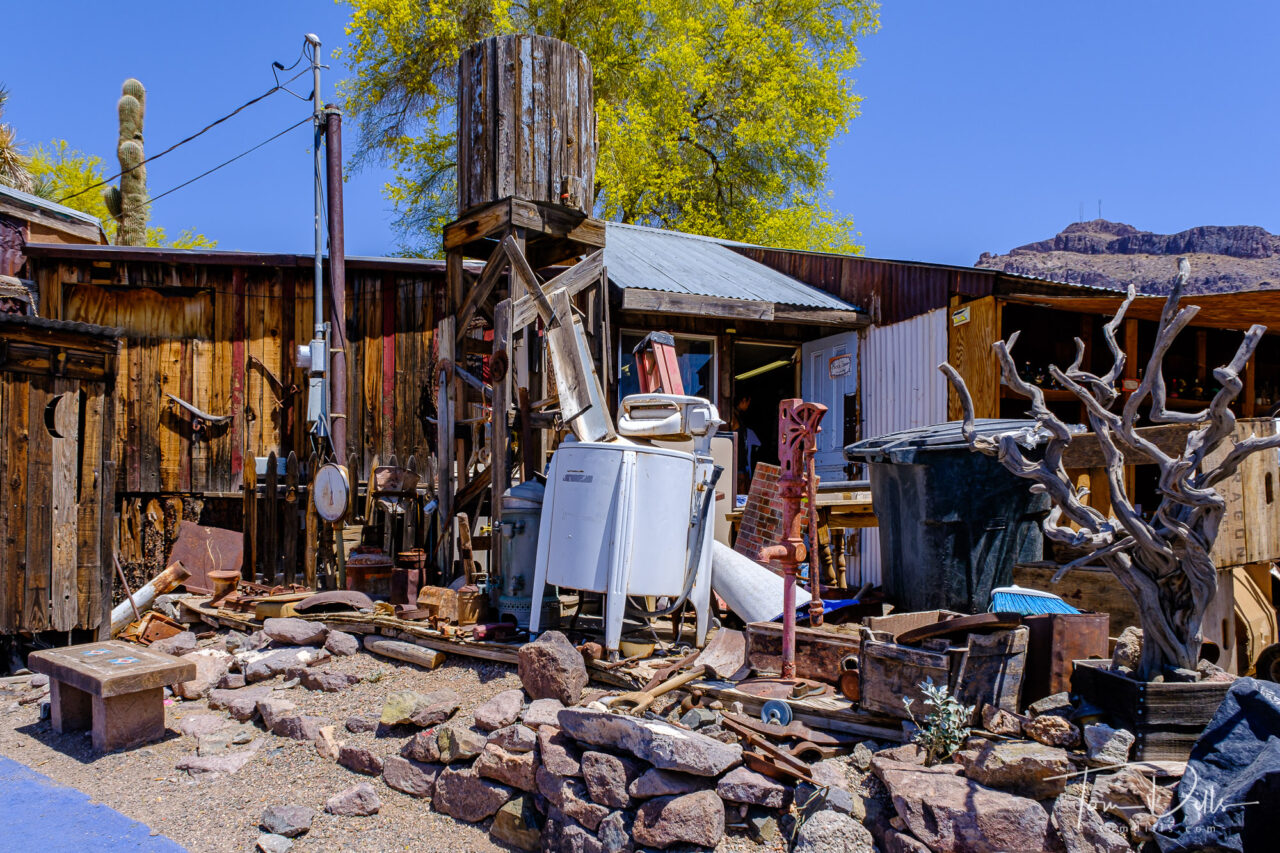
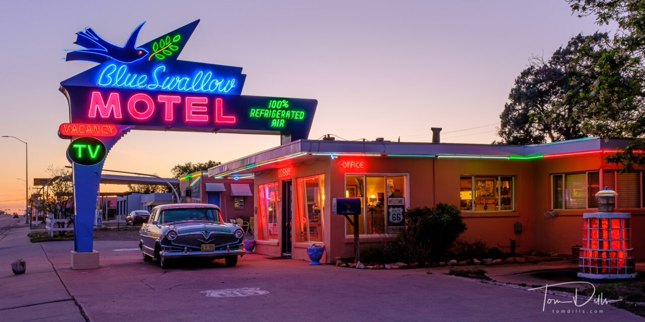
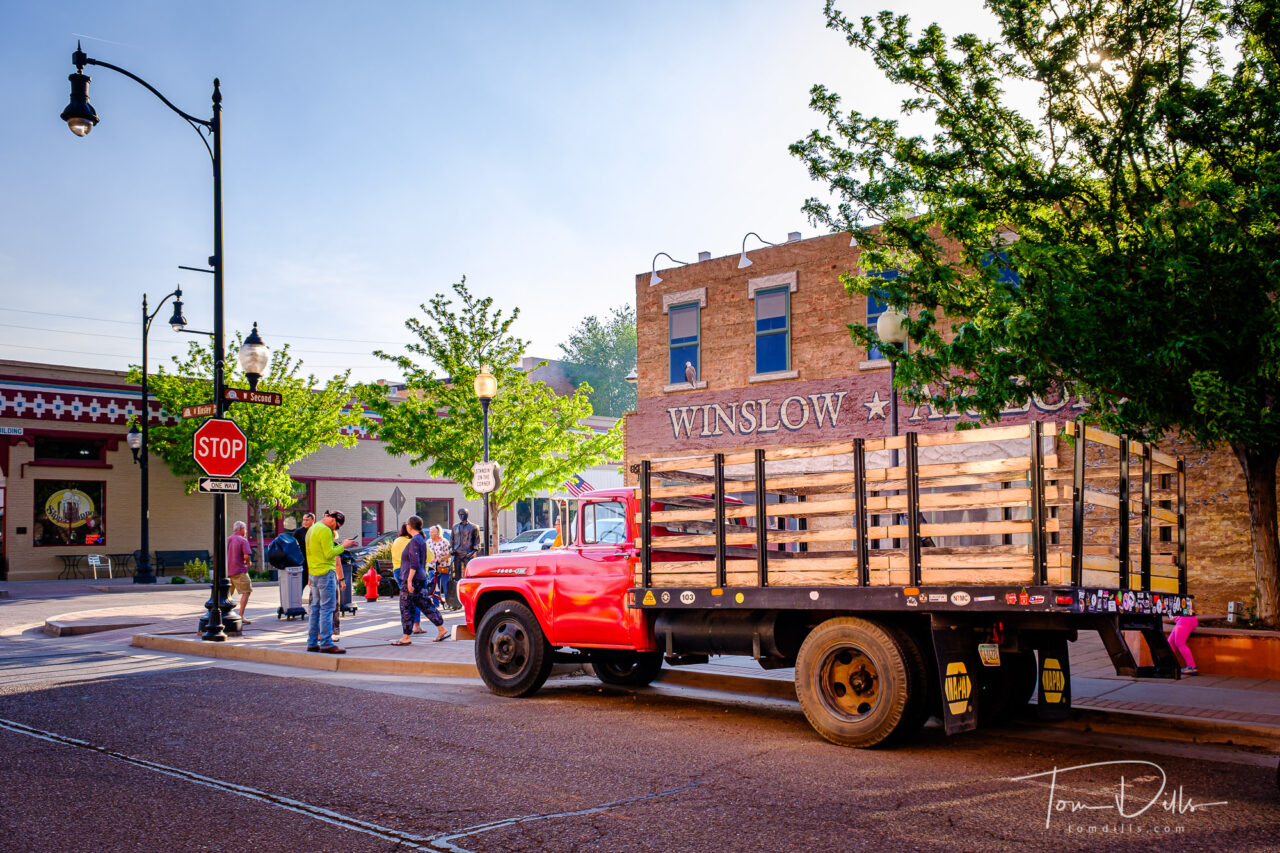
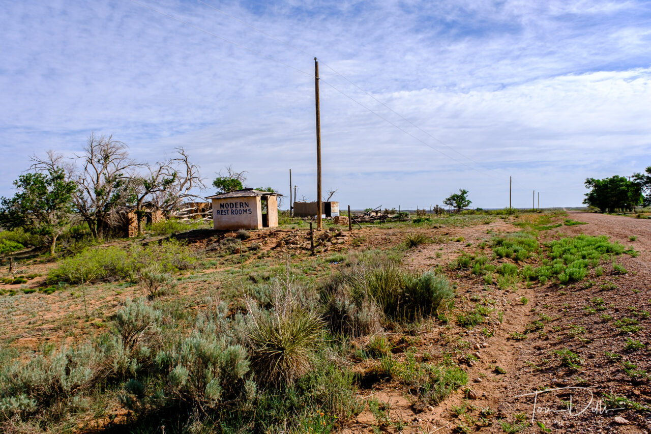
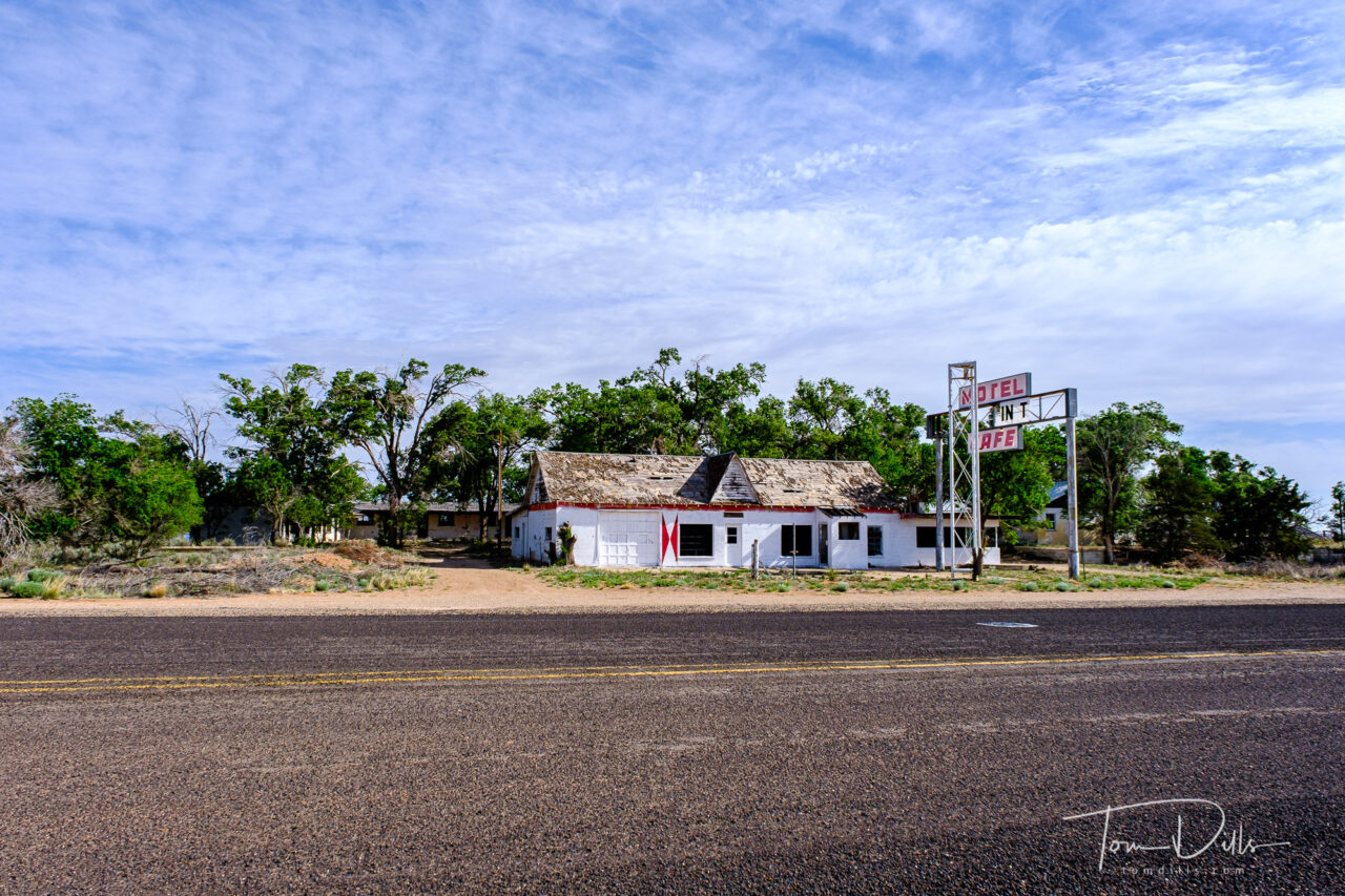
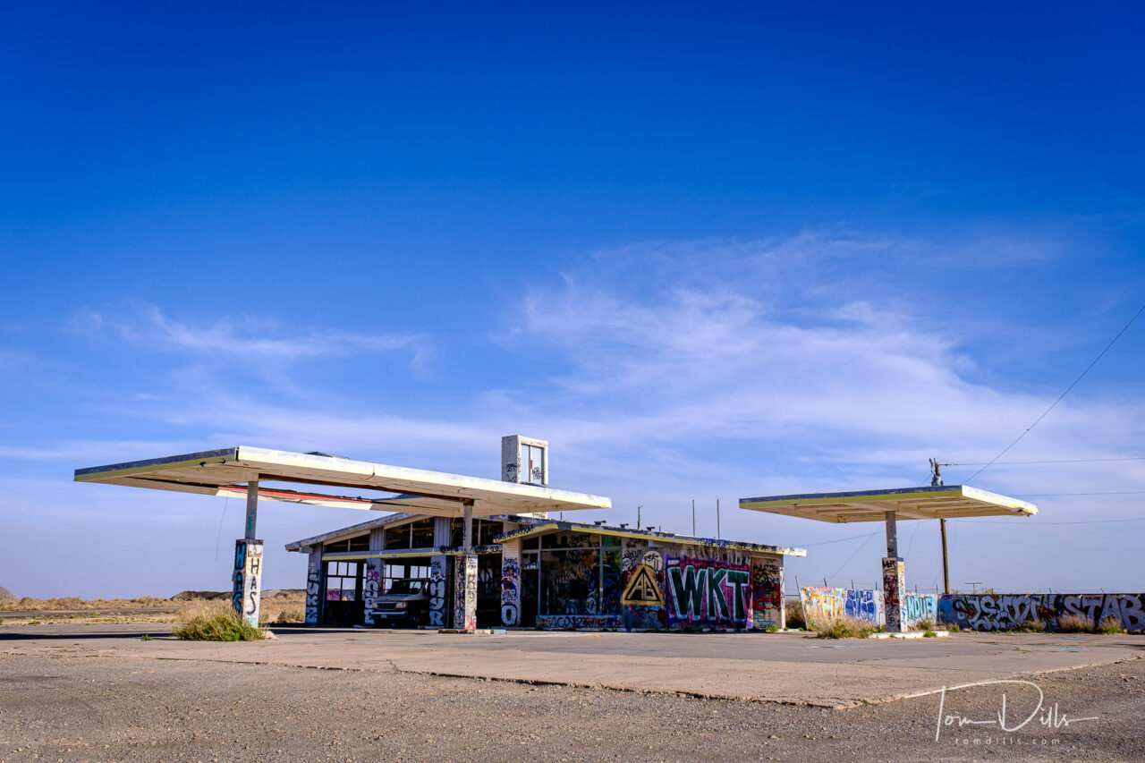
Sorry to say, but Momma’s showing some wear and tear these days, in my eyes.  I’m not sure what I expected with Route 66, but I came away from it a bit disappointed.  Maybe I was just 50 years too late, but it felt a lot like just another string of towns abandoned by time and the diversion of car traffic by freeways and bypasses.  Yes, there are pockets of apparent prosperity, mostly in towns that have other means of economic support but also in places like Tucumcari, NM where a handful of wonderful businesses hang on due to their owners’ efforts and longstanding reputation.  But mostly, we drove for miles and miles to get to a place or a thing, looked at it and said (or thought) ‘huh.”  The glory of Route 66 lives on in memories or the imagination, I guess.

The Jackrabbit Trading Post on Historic Route 66 near Joseph City, Arizona

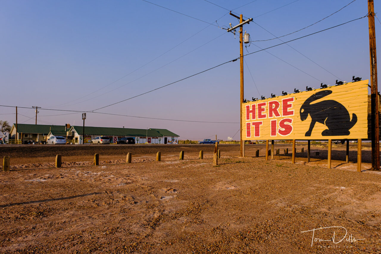
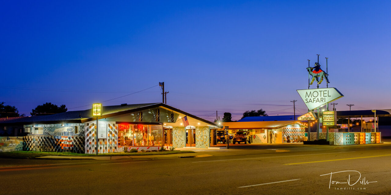
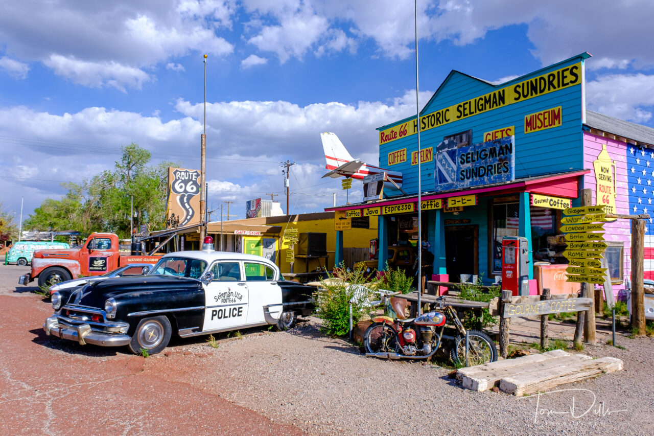
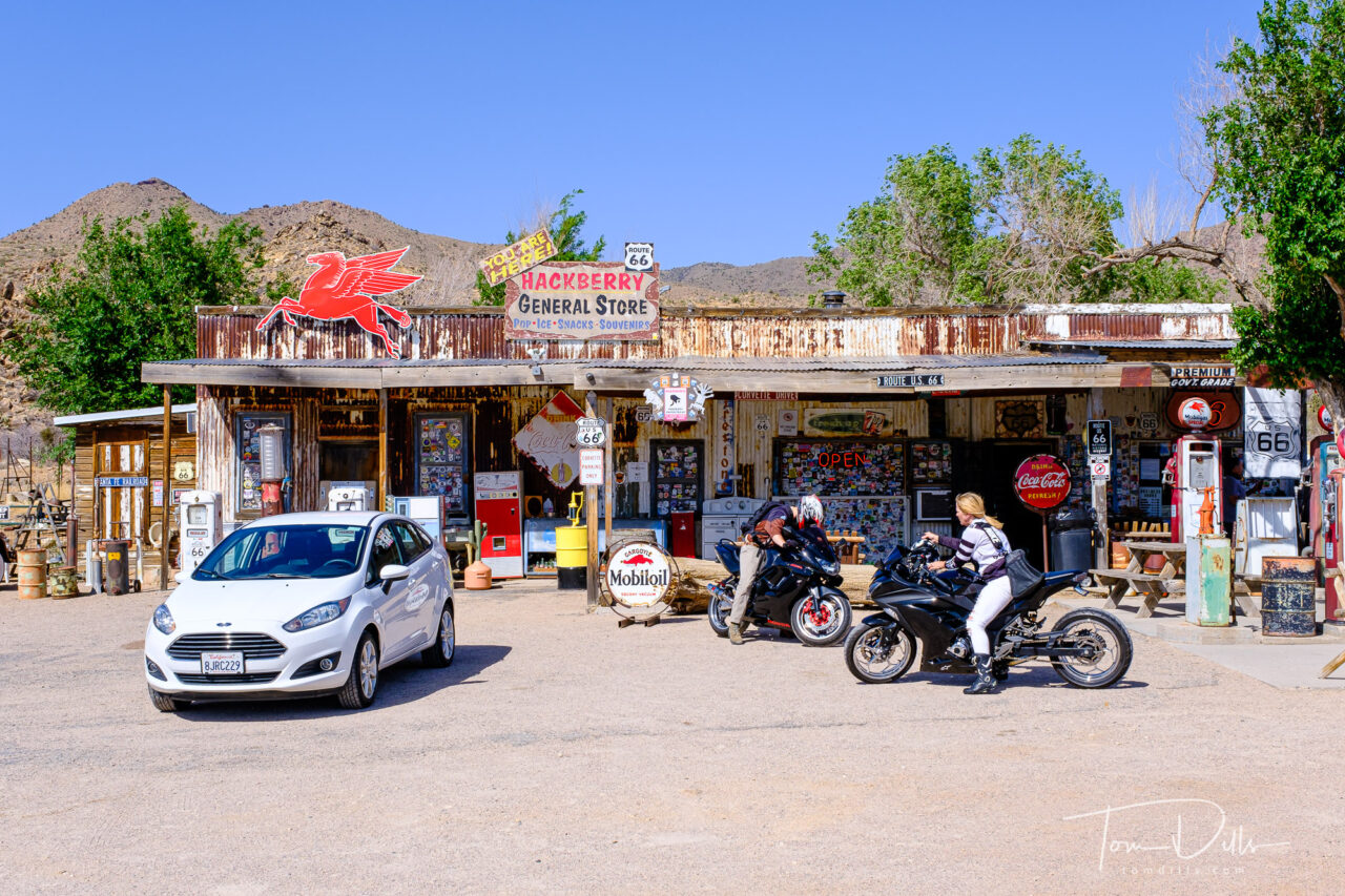
I didn’t set out with a “shot list” or really any kind of preconceived notion of what I’d find to photograph.  I wasn’t looking to make my own definitive guide to Route 66 or even publish a comprehensive collection of photography.  I wanted to see what we found and to let that determine the direction I would take with my camera.  I shot some landmarks, photographed some abandoned buildings and other remains of the past.  I made some nice evening photographs of the lovely motels in Tucumcari.  And we drove right on by a fair number of places, partly due to time constraints but also due to lack of visually interesting subject matter.

Twin Arrows, an abandoned roadside trading post located along I-40 in Arizona between Flagstaff and Winslow
Abandoned buildings along a dirt road stretch of Historic Route 66 near the New Mexico-Texas border
Abandoned motel and restaurant on Historic Route 66 at the New Mexico-Texas border

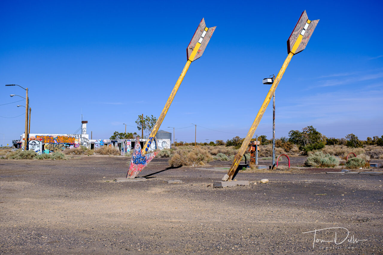
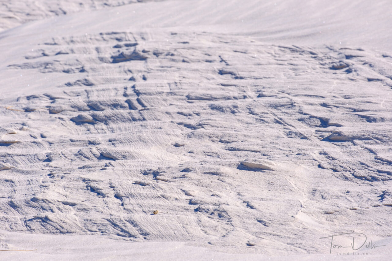
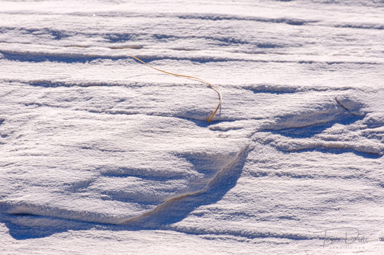
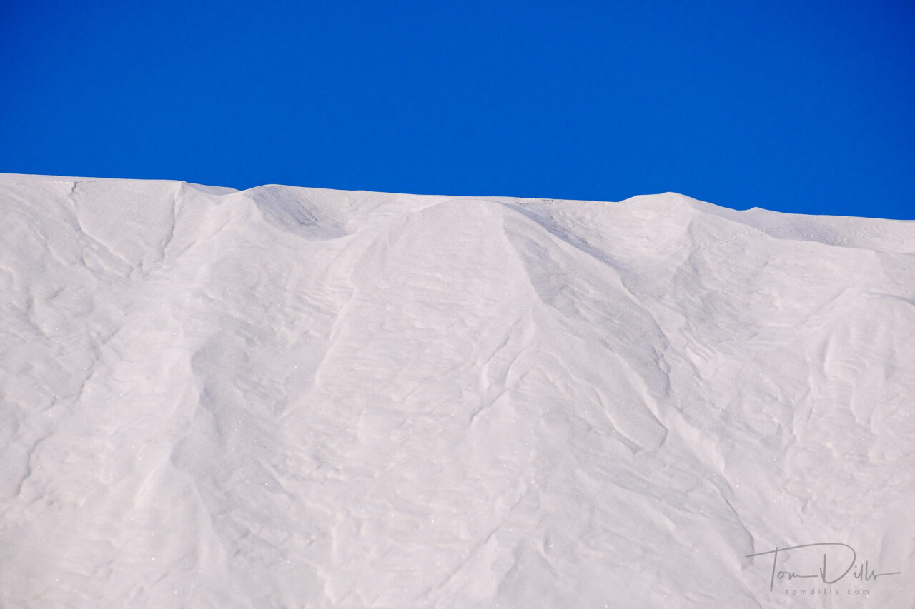
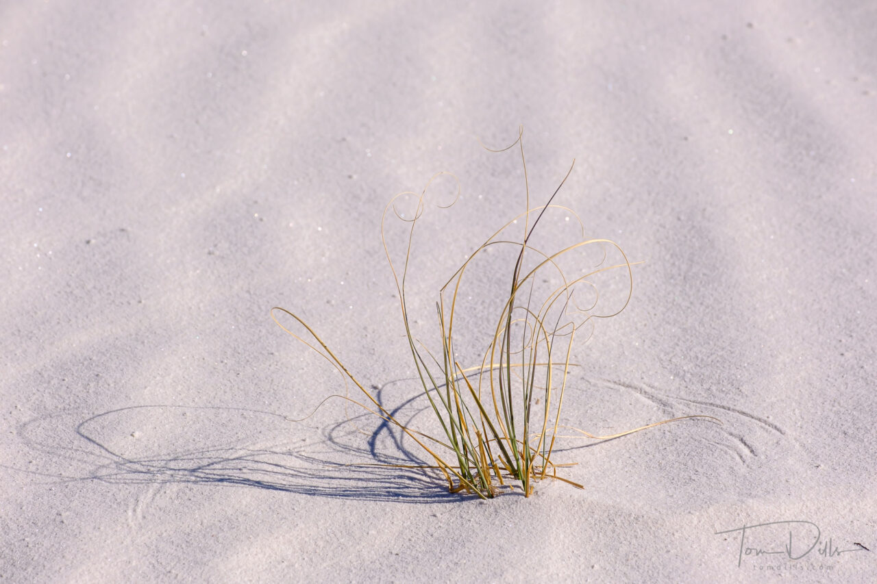
But beauty is in the eye of the beholder, as they say. So don’t take my word for it!  There is plenty to see and photograph, just know that there are places where what there is, isn’t what it used to be, and that you may have to drive a long way between those places.  And in many parts of the route, especially in Arizona, New Mexico, Texas and Oklahoma, there ain’t a lot more to see!  Fortunately, there are National Parks and other landmarks to break up the drive.  But as far as Route 66 itself is concerned, get what you can while the gettin’s good.

Twin Guns, an abandoned settlement along I-40 between Flagstaff and Winslow, Arizona

We did it and I’m glad to have had the time and opportunity to check it out for myself.  There are a few places I won’t hesitate to go back to, and a lot of places that will be lost to time before I have a chance to return.  Everyone will find something there.  It all depends on what you are looking for.

The Midpoint Cafe, halfway point on Route 66, near Adrian, Texas

Something Other Than Fences

Sunrise on the beach on Hilton Head Island, South Carolina

We’ve been at the beach for a week but I hadn’t managed to drag my sorry self out of bed for sunrise – until this morning.  I was well rewarded.  I’m kind of picky about when I’m willing to get up – tides, weather and sunrise time play a role.  I looked at the weather forecast before heading to bed last night and decided it would likely be a good chance for photos.  We’ve got some clouds rolling in today with a chance of thunderstorms this afternoon and overnight.  Tomorrow might be a good morning too, we’ll have to see if I can motivate myself two mornings in a row. 😉

Moonrise

Moonrise through the trees

I like to photograph the moon on the night before the “full” moon because there is still enough light in the sky, and on the foreground if you have a foreground, to illuminate the landscape and provide some detail.  Sometimes, like Tuesday night, the rising moon is actually more full than it will be on Wednesday night.  Of course the part that gets all the press is the so-called “Supermoon.” (because now we have to name everything) which “officially” happened this morning, but the moon wasn’t visible here at that time.

According to The Photographer’s Ephemeris, the moon was at 99.65% at moonrise last night and will be at 99.49% at moonrise tonight.  What does that get you?  Add a couple of bucks and it gets you a cup of coffee.

Photographing the moon rising over the ocean can be kind of boring and usually works better with an interesting foreground.  We have some nice trees in front of our rental condo here in Hilton Head, SC.  So I was able to have my camera on the balcony while we were having dinner, and managed to take a few shots between bites and sips. 😉

Moonrise through the trees

Now THIS Is Oatman!

The town of Oatman, Arizona is famous for its wild burros (and tourists) roaming the streets. A Route 66 attraction.

Skipping ahead a bit because I’m processing photos faster than I can write about them.  If anyone is interested in seeing more of my “vacation photos,” head to my Adobe Portfolio page, where I’ve been adding galleries with more photos from places we visited.  I’ll keep adding more galleries as I go and will eventually have a whole album.

A little bit of everything in Oatman
Pretty sure it isn’t Burro Jerky
Shotgun Weddings?  Yeah!
It’s hard to tell the burro food from the burro poop, so watch your step.

The first stop on our Route 66 adventure was Oatman, Arizona.  We had no idea what to expect, but suffice it to say that we could never have imagined it!  We were expecting a sleepy little place with old buildings, a shop or two and some tumbleweeds blowing through town.  But no….  We got there late morning on a Sunday, and the place was jammed with people, cars, motorcycles and…burros!  Turns out it is a pretty happening place.

Security cameras?  Why?
The town of Oatman, Arizona is famous for its wild burros (and tourists) roaming the streets. A Route 66 attraction.
The Best Little Orehouse in Oatman
Someone is having an identity crisis

Our first concern was – oh, crap.  Is this what Route 66 is going to be like the whole way?  But no, I think we actually came across more people at one time in Oatman than we saw anywhere else on Route 66.  It was amazing!

Daily “gunfight” on the main street of Oatman, Arizona
The town of Oatman, Arizona is famous for its wild burros (and tourists) roaming the streets. A Route 66 attraction.

We didn’t stay long, only long enough to walk up and down the street, take in one of the “gunfights” that happens several times a day, then join the parade of vehicles out of town.  But once we left the town limits the road was deserted, pretty much from there to Kingman.

Not your typical Oatman transportation
Well, maybe
More likely….
The town of Oatman, Arizona is famous for its wild burros (and tourists) roaming the streets. A Route 66 attraction.
A must-have on Route 66.  Especially the leather….
The town of Oatman, Arizona is famous for its wild burros (and tourists) roaming the streets. A Route 66 attraction.

White Sands National Park

White Sands National Park, New Mexico

According to my metadata, I only photographed for about 30 minutes on our evening at White Sands.  But other than perhaps the evening I spent in The Palouse last fall, it was perhaps the most productive 30 minutes I’ve had with a camera in a long time.  The most fun, too!

White Sands National Park, New Mexico

I “only” took 43 photographs, but have marked 33 of them as “Picks” in Lightroom.  That’s a very high percentage for me. 🙂  Of course not all of them will end up on a wall or even on my website, but a few of my favorites definitely will.

White Sands National Park, New Mexico

White Sands is the kind of place where you can shoot for as long as you have.  And unless you really mess something up, you are likely to come back with something you like.  Interestingly, as huge as the park is, I only moved a total of about 100 yards (after trudging through the sand and scrub to get to the spot I had found) in that 30 minutes.  I shot exclusively with my 55-200 lens, on a tripod, in manual focus mode.  All of the scenes I found were that small.  For me the tripod is essential in situations like that, because in addition to allowing for critical focus, it is a must for precise composition.

White Sands National Park, New Mexico

The biggest issue in a park like White Sands is finding places that haven’t been covered with footprints and sled tracks.  In fact, there is one setup where I had only taken one frame before a head popped over the horizon, and some dude came sledding down the pristine slope I had been set up to shoot.  Luck of the draw.

White Sands National Park, New Mexico

When we returned the following morning, we found that we didn’t get the benefit of the wind that often “erases” the footprints and that results in pristine conditions.  But in a few places I was able to make use of the softened textures in the sand – still remains of footprints but worn down just a bit – superimposed against a crisp blue sky.  It was different from the evening before, but very nice.

White Sands National Park, New Mexico

White Sands is one of those places where you can get something interesting however long you are there.  Whether for an hour or two, a day or two, or a week or two.  Like The Badlands or The Palouse, it is a place I would love to revisit with more time.  But what I came home with is good until I have a chance to do that.

White Sands National Park, New Mexico

Fort Davis National Historic Site

Fort Davis National Historic Site in Fort Davis, Texas

Another one of our off the beaten path places to visit was Fort Davis, Texas.  We spent a couple of hours there on our way to a tour of McDonald Observatory, which is about 30 minutes “up the hill.”

Fort Davis National Historic Site in Fort Davis, Texas

Fort Davis is one of the best surviving examples of an Indian Wars’ frontier military post in the Southwest. From 1854 to 1891, Fort Davis was strategically located to protect emigrants, mail coaches, and freight wagons on the Trans-Pecos portion of the San Antonio-El Paso Road and on the Chihuahua Trail.

Fort Davis National Historic Site in Fort Davis, Texas

Many of the buildings have been restored to close to their original condition, and for others only the foundations remain. We’ve enjoyed visiting these different forts, understanding the role they played in American history and in the expansion and settlement of the west.

Fort Davis National Historic Site in Fort Davis, Texas

Big Bend National Park

Big Bend National Park in Texas

When people ask us what the highlight of our recent trip was, it is easy to respond that it was the Grand Canyon.  But Big Bend National Park was probably the most unexpected.  It is a beautiful park with rugged mountains, deep valleys and a wide variety of plant and animal life.

Big Bend National Park in Texas

Other than the scenery, we were not prepared for how dry it was there.  It’s a desert climate, and we knew that.  And while it was not hot – upper 80s to low 90s during our day there – the dew point was in the teens, and you could practically feel the moisture being sucked out of our bodies.  We had plenty of food and water with us, and we never strayed too far from the car.  But by the end of the day we were thirsty and exhausted.  It just wore us out!

Big Bend National Park in Texas
Views from the Sotol Vista Overlook at Big Bend National Park in Texas
Views along the trail to Lower Burro Mesa Pouroff at Big Bend National Park in Texas

The Rio Grande River runs along the southern border of the park, and it was interesting to look across and realize that it was another country – Mexico – on the other side.  Signs warned against crossing the border illegally, but that didn’t stop people from wading across to the other side for a photo.  The Rio Grande, after all, isn’t all that Grande.  At least for most of the year!

Big Bend National Park in Texas
The Rio Grande River near Santa Elena Canyon, Big Bend National Park in Texas

Big Bend is an example of a park where you really need multiple days to truly experience it.  And to do that ideally means staying in the park, either by camping or staying in one of the many privately operated lodges in and near the park.  We stayed in Alpine, TX which is about 1.5 hours away.  That was not a big deal since we only visited one day.  But if you wanted to see more, or photograph sunrise or sunset, it would be worthwhile to be closer.  On a return trip we may decide to do just that.  Although we probably wouldn’t consider camping.  That just isn’t our thing. 😉

Big Bend National Park in Texas
Views of Goat Mountain at Big Bend National Park in Texas
Big Bend National Park in Texas

The LBJ Ranch – Johnson City, Texas

Lyndon B. Johnson National Historical Park near Johnson City, Texas

Probably because I started to become “world aware” in the mid to late 60s I had always associated Texas with Lyndon Johnson and The Alamo.  I remember hearing references to the “Texas White House” on the news and it conjured up images of a place far away and quite foreign from western Pennsylvania.

Lyndon B. Johnson National Historical Park near Johnson City, Texas

We didn’t get to The Alamo this trip, but we did visit the LBJ Ranch, which is a National Historical Park, operated by the National Park Service.  None of the buildings were open, and we got there pretty late in the day, but we did have a chance to drive the loop road, stop at the house and view some of the exhibits, including a former aircraft nicknamed “Air Force One Half” because of its small size.  It was used to shuttle Johnson and company between the LBJ Ranch airport and Randolph Air Force Base in San Antonio.

“Air Force One Half” Lockheed Jetstar VC-140 used as a shuttle to the LBJ Ranch airport from Randolph Air Force Base in San Antonio. Lyndon B. Johnson National Historical Park near Johnson City, Texas
Runway at Lyndon B. Johnson National Historical Park near Johnson City, Texas
“Air Force One Half” Lockheed Jetstar VC-140 used as a shuttle to the LBJ Ranch airport from Randolph Air Force Base in San Antonio. Lyndon B. Johnson National Historical Park near Johnson City, Texas

Visiting the ranch gave us a little taste of US history, and made real something I had only heard about and had seen only on television.

Woolly Mammoth, Batman!

Waco Mammoth National Monument in Waco, Texas

In 1978 a couple of Waco, Texas locals were searching for arrowheads and came across a large bone.  They took the bone to a scientist at Baylor University, who identified it as a mammoth bone.  A Baylor undergraduate started an archeological exploration of the site in 1979, uncovering 5 mammoths over a 2.5 year period.  In the following years, another 16 mammoths were discovered.

Waco Mammoth National Monument in Waco, Texas

The area is managed by the National Park Service in cooperation with the City of Waco and Baylor University, and  became a National Monument in 2015 under President Obama.

Waco Mammoth National Monument in Waco, Texas

The site is much smaller and much less dramatic than Dinosaur National Monument in Utah that we visited last fall, but interesting nevertheless in that it is one of only a few places where prehistoric remains in situ can be easily viewed by the public.  A building erected over the site provides viewing access while providing access to students and scientists for further study of the area.

Waco Mammoth National Monument in Waco, Texas

The place was also practically deserted on the day of our visit, making it even more attractive to us! 😉

Waco Mammoth National Monument in Waco, Texas