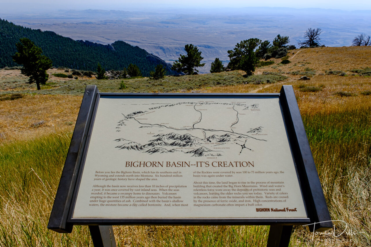
One of the things that maps don’t always tell us is what the terrain is like on a given road or in a given town. We’ve been surprised by this numerous times when we get to a place and it is either hillier than we expected or not hilly at all. One such place came up on our drive through Bighorn National Forest in Wyoming.
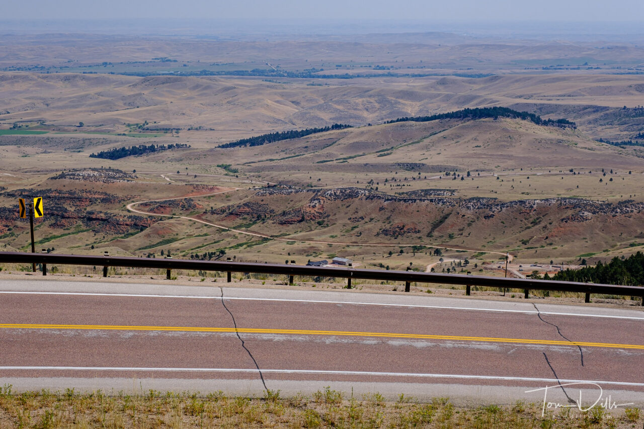
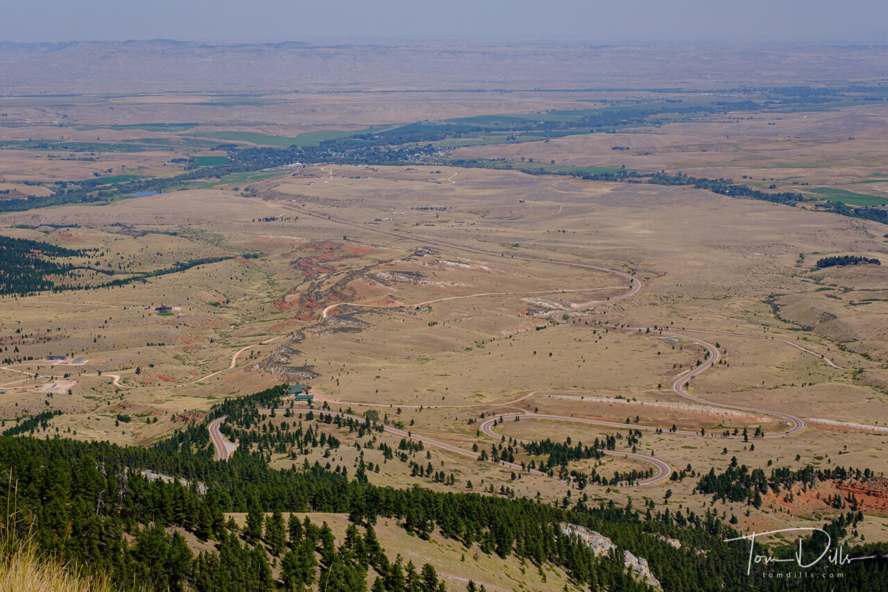
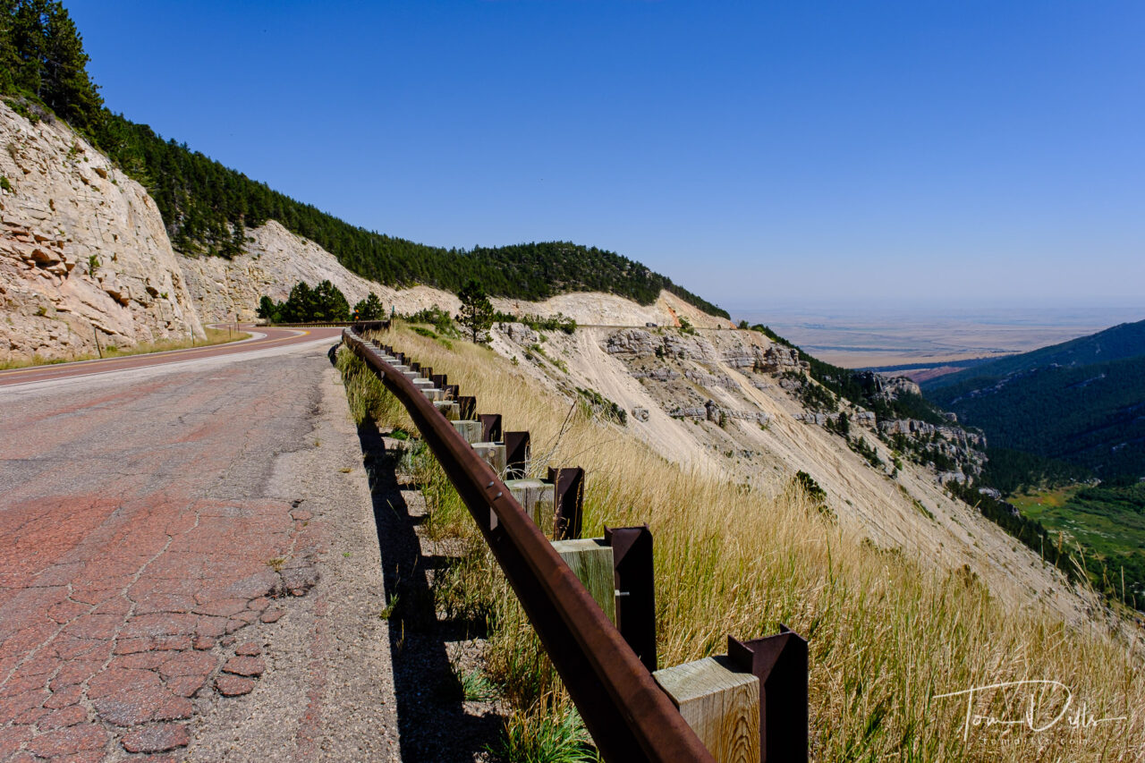
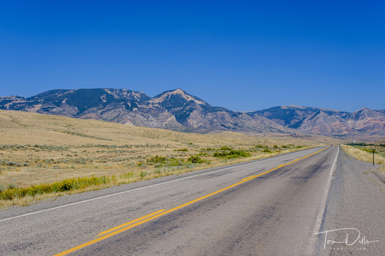
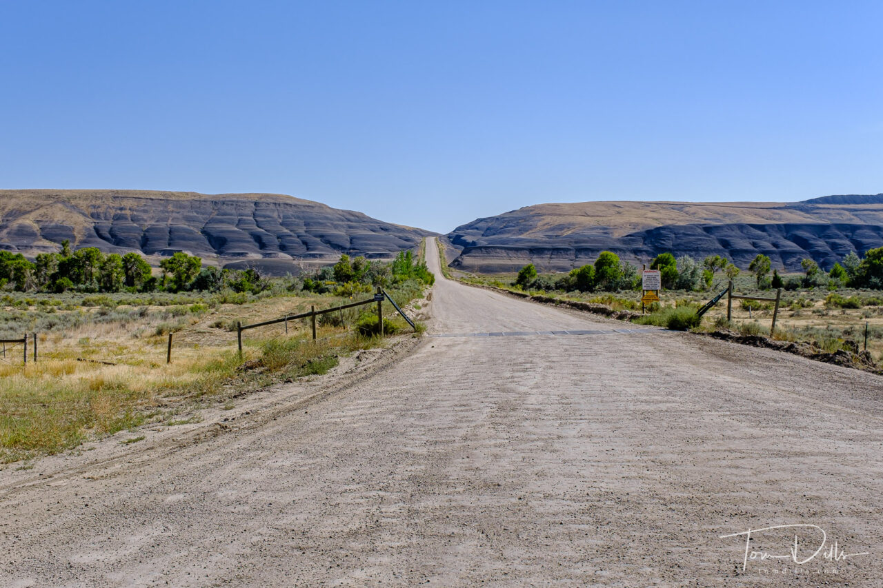
We had spent the night in Rapid City, SD and wanted to get to Billings, MT via Lowell, WY in order to see the southern section of the Bighorn Canyon National Recreation area, which stretches from Fort Smith in southern Montana, where the Yellowtail Dam is located, to Lowell, WY, the southern end of the reservoir. That route took us on 60-ish miles of Alt-US 14 – known as the Bighorn Scenic Byway – through Bighorn National Forest, from near Sheridan, WY to Lowell. And I have to say that it was one of the most stunning drives of any I have ever taken, including Trail Ridge Road in RMNP. The terrain was rugged and beautiful, the road was wide and smooth, and the views were amazing. In hindsight, that might have been a bigger highlight than Lowell, but at the time, who knew?
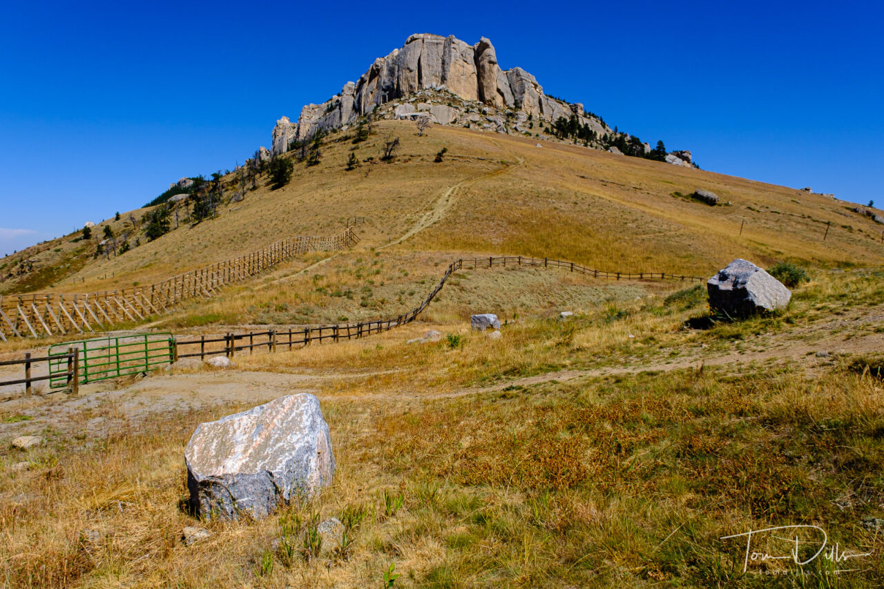
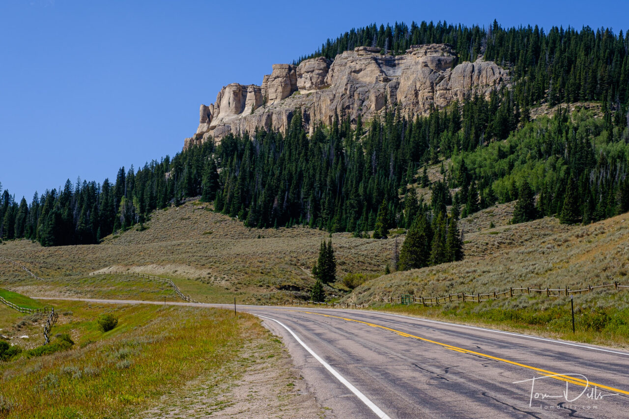
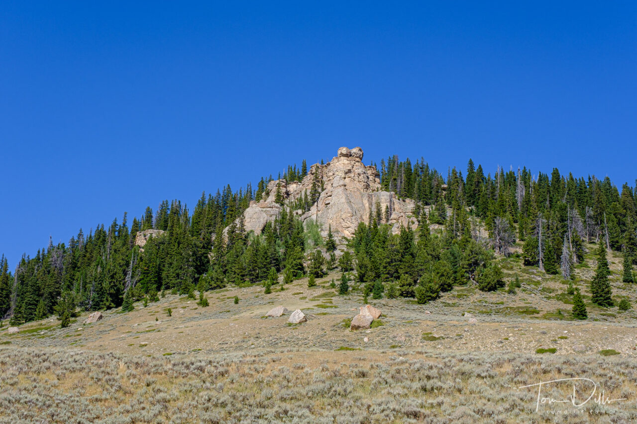
How rugged is the country in Bighorn National Forest? The road is closed in the winter, as the elevation reaches 9,033 feet at Granite Pass. That’s getting up there, as the highest point on our side of the Mississippi is a “mere” 6,684 feet (Mount Mitchell in NC). By comparison, the elevation difference between the valley near Dayton, WY to Granite Pass is nearly that whole amount – almost 6,000 feet!
I hadn’t paid much attention to this area before, but now that we’ve been there I am anxious to get back. There are a lot of interesting things to see and do in the area. Perhaps a few days in Sheridan on our way to or from Yellowstone or Grand Teton, when we decide it’s time to visit that part of the country again.
These pictures are the epitome of what I imagine of a North American road trip. Truly gorgeous views. Thanks for sharing Tom.
I’m happy to have the photos to share, Cedric. I always knew that there is a lot to see in our country but didn’t realize how much until I actually got out and looked.
My kind of place for photography. That may be a trip for my bucket list.
Let me know when you decide to go…it wouldn’t take much to convince me to go back! 😉